Lo Manthang
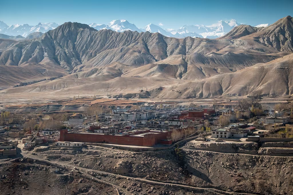
The walled medieval capital of the former Kingdom of Lo in Upper Mustang, with a royal palace, Tibetan Buddhist monasteries, and four-storey whitewashed mud-brick houses at 3,840m.
- Altitude
- 3,840 m
- Coordinates
- 29.184°, 83.965°
Current Weather
Lo Manthang is the ancient walled capital of the Kingdom of Lo, the Trans-Himalayan kingdom that ruled Upper Mustang from the 14th century until its formal absorption into Nepal in 2008. The city sits at 3,840m on a windswept plateau north of the main Himalayan crest, ringed by a continuous mud-brick wall pierced by a single gate.
Inside the wall, a tight grid of whitewashed four-storey houses, narrow alleys, and three great monasteries — Jampa Lhakhang (15th century, home to a colossal Maitreya), Thubchen Gompa (15th century, vast assembly hall with restored murals), and Chode Gompa (the active monastic seat) — preserves a fragment of medieval Tibetan civilisation that has largely vanished elsewhere. The four-storey royal palace at the centre of the city is still home to the ceremonial king of Lo.
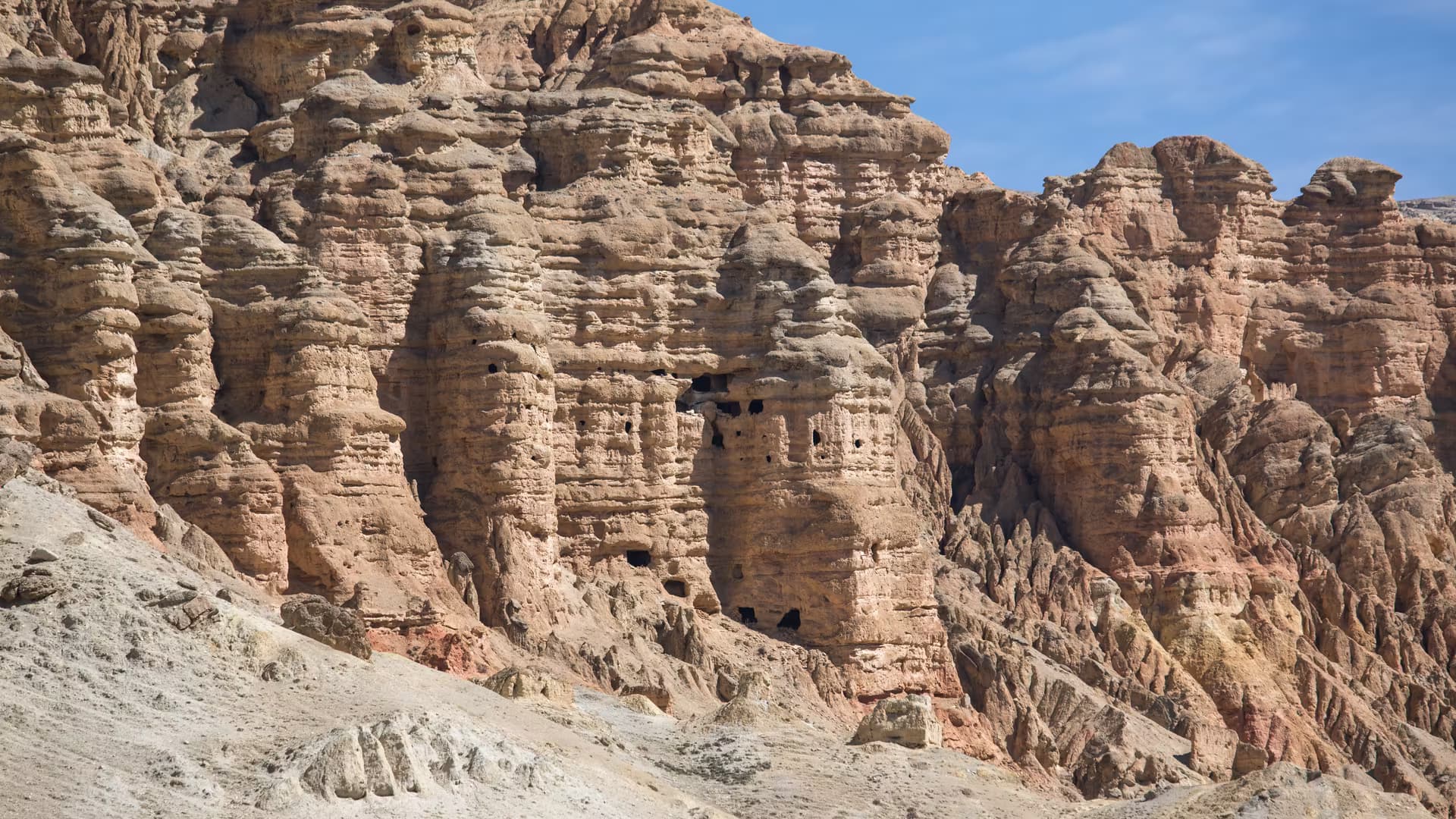
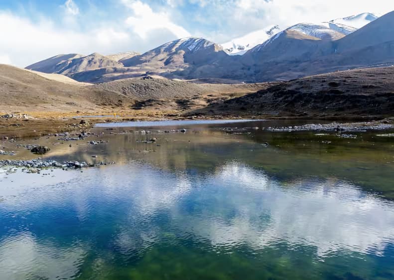
The surrounding landscape is arid high-desert canyon country in the rain shadow of Dhaulagiri and Annapurna — eroded red and ochre cliffs, almost no rainfall, and a clarity of light unlike anywhere else in Nepal. The annual Tiji festival (usually May) brings three days of masked monastic dances enacting the triumph of Dorje Jono over a demon king.
Access requires the USD 500 Upper Mustang restricted area permit and a licensed guide. Reach by jeep from Jomsom (1–2 days) or on foot via the Upper Mustang trek.
Getting there
Use Jomsom as the nearest configured transport hub, then continue locally to Lo Manthang.
- JomsomNearest configured hub
Routes to Jomsom
- PokharatoJomsomFlight0.33-0.5 hr
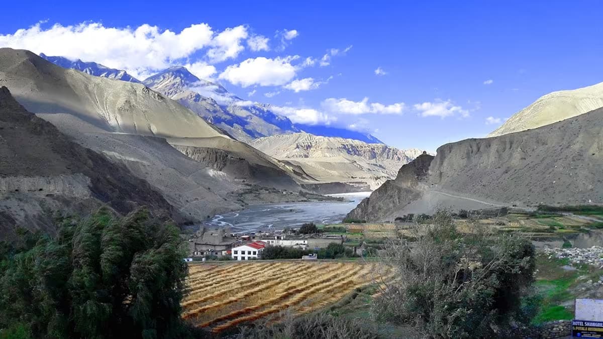
- KagbenitoJomsomJeep1-1.5 hr
- PokharatoJomsomJeep8-11 hr
Jomsom is the nearest transport hub we have route data for, not a verified gateway for Lo Manthang. The final stretch is local and we have not confirmed it.
Location & What's Inside
Connects to
Routes and trails that link here
Planning this trip? Local operators publishing trips here can arrange it.
Elsewhere in this region
Help us get it right
Know Lo Manthang better than we do?
We write from research and reporting, and the ground changes faster than we can keep up. If something here is out of date, or you have been and would tell it differently, we would rather hear it.