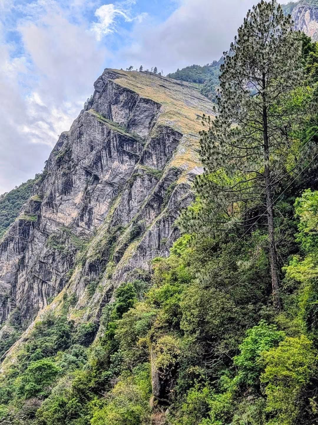
Manaslu Conservation Area
A restricted Himalayan landscape around the world's eighth-highest peak — Tibetan-influenced Nubri and Tsum valleys, snow leopards and the Manaslu Circuit trek.
- Altitude
- 8,163 m
- Coordinates
- 28.550°, 84.750°
Current Weather
The Manaslu Conservation Area protects 1,663 square kilometres of north-central Nepal around Manaslu (8,163m), the eighth-highest mountain in the world. Established in 1998 and managed by the National Trust for Nature Conservation, it borders Tibet to the north and the Annapurna Conservation Area to the west.
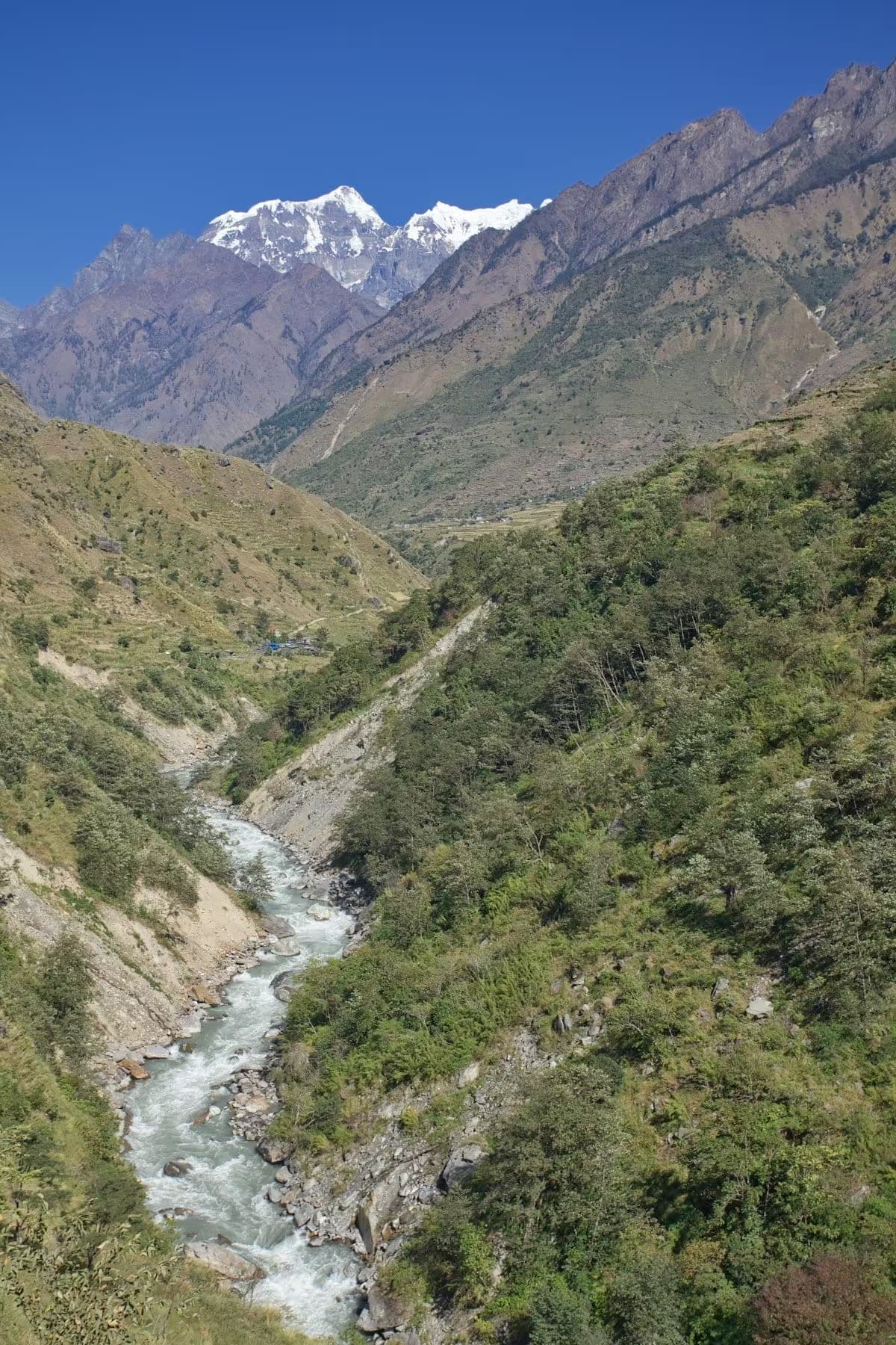
The area rises from river valleys at around 1,400m to the summit of Manaslu, taking in forest, alpine meadow, glacier and the high Larkya La pass at 5,106m. It is important snow leopard habitat and also shelters red panda, Himalayan tahr, blue sheep and musk deer. The upper valleys of Nubri and Tsum are culturally Tibetan, with old monasteries, mani walls and a strong tradition of Buddhist non-violence in the Tsum valley, long a hidden pilgrimage sanctuary.
Manaslu is a restricted area: trekkers need a special permit and must travel with a registered guide in a group, which has kept visitor numbers and infrastructure modest compared with the Annapurna and Everest regions.
The Manaslu Circuit trek, increasingly regarded as one of the finest in Nepal, begins near Soti Khola in Gorkha district and crosses the Larkya La before descending into the Annapurna area. Spring and autumn are the trekking seasons.
Getting there
Use Arughat as the nearest configured transport hub, then continue locally to Manaslu Conservation Area.
- ArughatNearest configured hub
Routes to Arughat
- KathmandutoArughatJeep6-8 hr
Arughat is the nearest transport hub we have route data for, not a verified gateway for Manaslu Conservation Area. The final stretch is local and we have not confirmed it.
Location & What's Inside
Connects to
Routes and trails that link here
Planning this trip? Local operators publishing trips here can arrange it.
Elsewhere in this region
Help us get it right
Know Manaslu Conservation Area better than we do?
We write from research and reporting, and the ground changes faster than we can keep up. If something here is out of date, or you have been and would tell it differently, we would rather hear it.