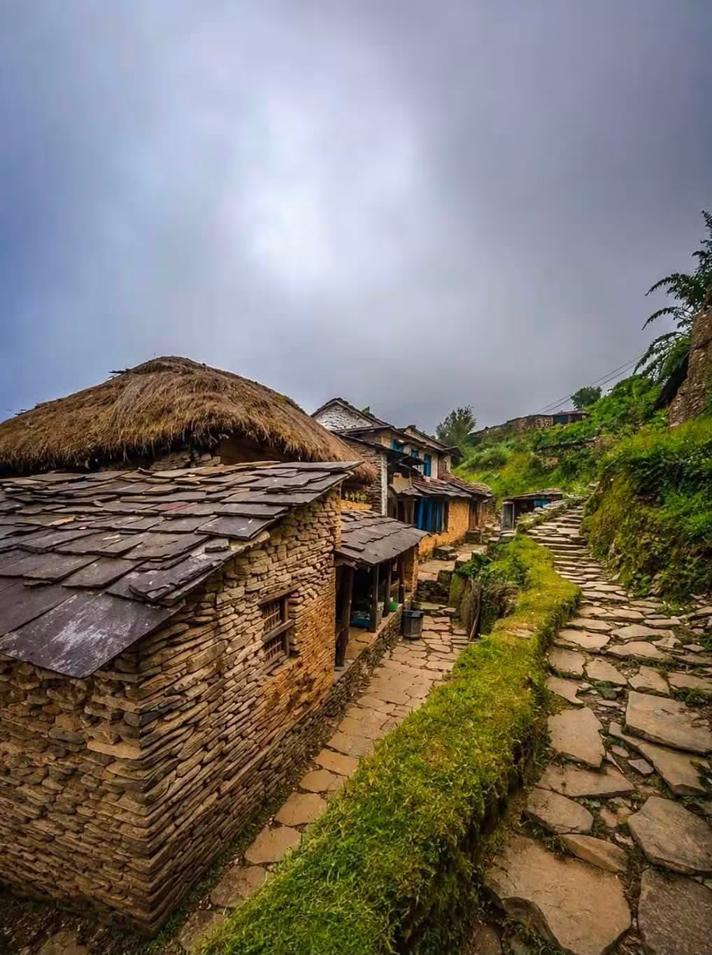
Dhampus
A traditional Gurung village at 1,650m on the ridge above Phedi — the first night of the classic short treks out of Pokhara and a waypoint on the approaches to Australian Camp, Mardi Himal and Ghorepani.
- Altitude
- 1,650 m
- Coordinates
- 28.300°, 83.859°
Current Weather
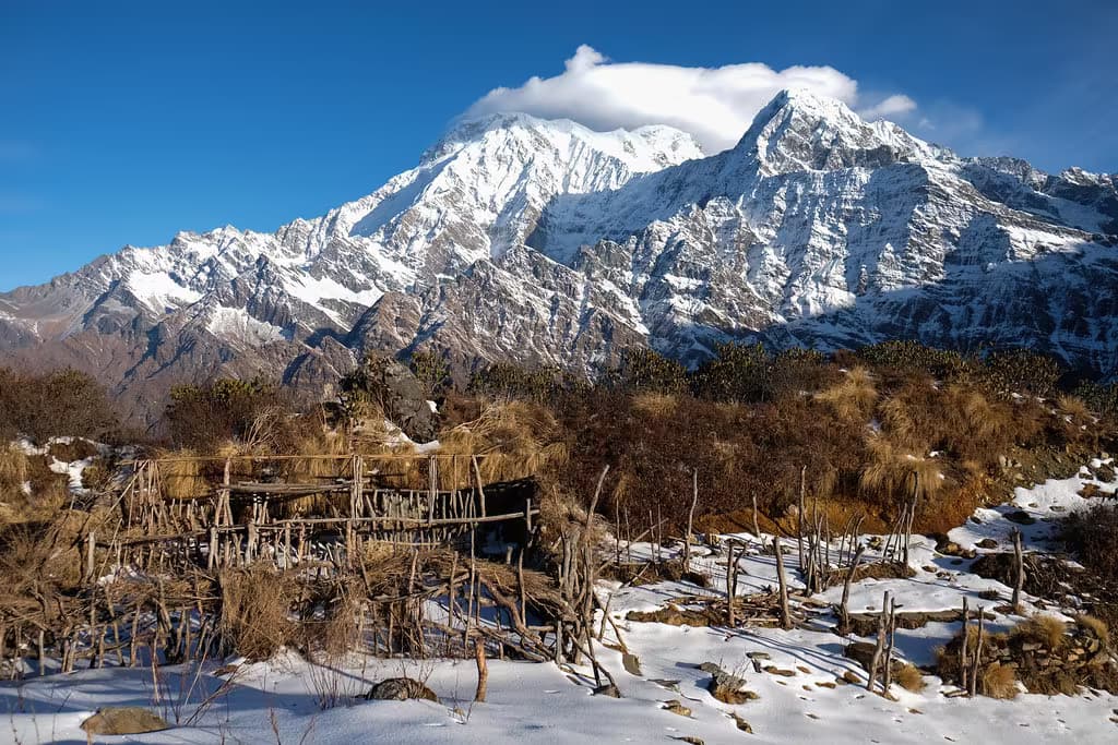
Dhampus is a Gurung village spread along a ridge at about 1,650 metres, an hour's drive plus a climb north-west of Pokhara. Stone-walled houses with slate roofs line a flagstone path that runs the length of the settlement, and the north side of the ridge opens onto Machhapuchchhre (6,993m), Annapurna South (7,219m) and Hiunchuli — close enough that the peaks fill the sky rather than sit on the horizon.
For most visitors Dhampus is a first night out of Pokhara. The classic approach is a short drive to Phedi at the foot of the hills, then a steep stone stairway of roughly two hours up to the village; the same stairway is the standard descent coming the other way. A rough road now also reaches the lower part of the village, so the walk can be skipped. From Dhampus the ridge continues west to Pothana and Australian Camp, and the same path carries trekkers heading for Mardi Himal and the Ghorepani side of the Annapurna region.
Dhampus lies inside the Annapurna Conservation Area, so an ACAP permit — and a TIMS card, if you are trekking beyond — is required, and both are issued in Pokhara or Kathmandu rather than at the village. Accommodation is teahouse-standard: a dozen or so lodges with simple rooms, hot showers of variable reliability, and dining rooms that fill up in October. Come for sunrise; the peaks are usually clear at dawn and cloud in by late morning.
Getting there
Use Pokhara as the nearest configured transport hub, then continue locally to Dhampus.
- PokharaNearest configured hub
Routes to Pokhara
- JomsomtoPokharaFlight0.33-0.5 hr
- KathmandutoPokharaFlight0.4-0.6 hr
- KathmandutoPokharaTourist bus6-8 hr
- PheditoPokharaJeep0.75-1.25 hr
- NayapultoPokharaJeep1.5-2.5 hr
- BirethantitoPokharaJeep1.5-2.5 hr
Pokhara is the nearest transport hub we have route data for, not a verified gateway for Dhampus. The final stretch is local and we have not confirmed it.
Location
Planning this trip? Local operators publishing trips here can arrange it.
Elsewhere in this region
Help us get it right
Know Dhampus better than we do?
We write from research and reporting, and the ground changes faster than we can keep up. If something here is out of date, or you have been and would tell it differently, we would rather hear it.