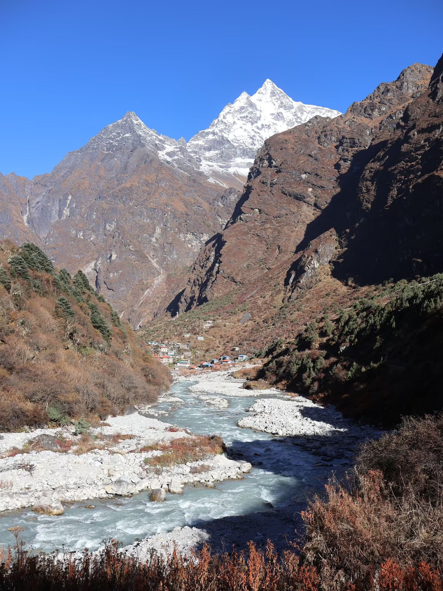
Gaurishankar Conservation Area
The conservation corridor linking Langtang to the Everest region — sacred peaks, the hidden Rolwaling valley and prime red panda habitat.
- Altitude
- 7,134 m
- Coordinates
- 27.950°, 86.300°
Current Weather
The Gaurishankar Conservation Area protects 2,179 square kilometres of central-eastern Nepal, established in 2010 to form a connecting corridor between Langtang National Park to the west and the Sagarmatha and Makalu Barun landscapes to the east. It is named after Gaurishankar (7,134m), a peak sacred to both Hindus and Buddhists.
Spanning the districts of Dolakha, Sindhupalchok and Ramechhap, the area climbs from subtropical river valleys to high glaciated peaks. It is one of Nepal's most important red panda habitats and also shelters snow leopard, Himalayan black bear, musk deer and Himalayan tahr. At its heart lies the Rolwaling valley, a steep, glacier-hung sanctuary that remains one of the least-visited trekking regions in the country.
The area is managed with strong community participation, and its Sherpa, Tamang and Thami villages maintain close cultural links to the Khumbu.
Gaurishankar is reached from Charikot in Dolakha, the regional centre, with trekking routes including the demanding Rolwaling valley trek and the Tashi Lapcha pass crossing into the Everest region. The Tama Koshi road provides the main access. Spring and autumn are the recommended seasons.
Location & What's Inside
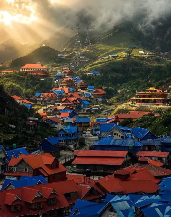
Planning this trip? Local operators publishing trips here can arrange it.
Elsewhere in this region
Help us get it right
Know Gaurishankar Conservation Area better than we do?
We write from research and reporting, and the ground changes faster than we can keep up. If something here is out of date, or you have been and would tell it differently, we would rather hear it.