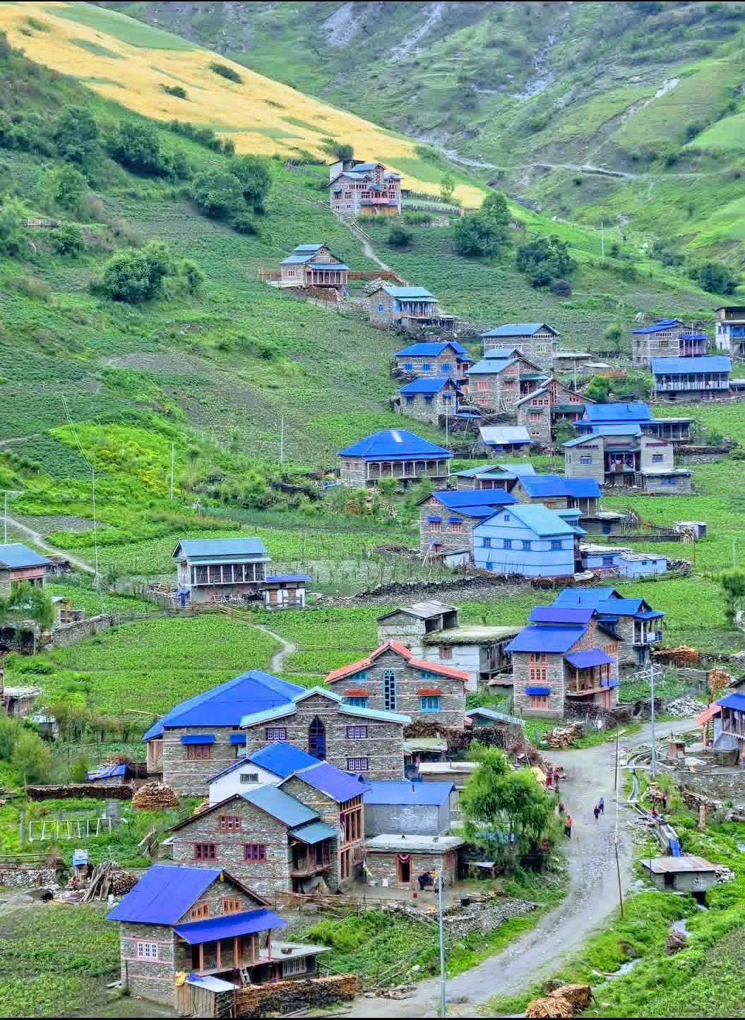
Jumla
The old Khas capital at 2,514m in Karnali — apple orchards, red Marsi rice terraces, and the road-and-air gateway to Rara Lake and Sinja Valley.
- Altitude
- 2,514 m
- Coordinates
- 29.275°, 82.183°
Current Weather
Jumla is the administrative and cultural heart of Karnali, Nepal's highest, poorest and least-visited province. The bazaar sits at 2,514 metres in a broad valley on the Tila river, ringed by pine ridges and terraced fields, and for most travellers it is the doorway to Rara Lake rather than a destination in itself. That undersells it: Jumla is one of the oldest continuously inhabited towns in the western Himalaya and the surviving centre of a civilisation that predates the Kathmandu Valley's Malla golden age.
From the 12th to the 14th century this region was the Khas Malla kingdom, ruled from Sinja two days' walk to the north-west and wintering at Dullu. The Khas language its court used is the direct ancestor of modern Nepali — meaning the language spoken today by thirty million people was standardised here, not in Kathmandu. Jumla's own Chandannath and Bhairabnath temples, standing side by side above the bazaar, are attributed to the sage Chandannath Bhatta who is said to have arrived from Kashmir in the 12th century, and their squat stone-and-timber form belongs to a western Himalayan tradition quite distinct from the Newari pagoda.
Jumla's agricultural claim is unique in Nepal. It grows Marsi, a cold-tolerant red rice cultivated at around 3,000 metres in the nearby Chhumchaur fields — among the highest-altitude rice paddies anywhere in the world. The district's apples, walnuts and Karnali beans have become the region's best-known exports, and the apple harvest in September and October turns the whole valley into an open-air market.
Practically, Jumla is a hub rather than a resort. Jumla Airport (JUM) receives STOL flights from Nepalgunj and Surkhet, weather permitting, and the Karnali Highway reaches the town by a long and rough road journey. From here trekkers set out for Rara Lake (three to four days on foot, or a jeep-and-walk combination), for Sinja Valley, and onward towards Dolpo. Accommodation is basic guesthouses and homestays; there is no tourist infrastructure in the Pokhara sense, which is precisely the point.
Come in spring or autumn. Winter brings heavy snow and cancelled flights, and the monsoon makes the Karnali Highway genuinely dangerous. Bring cash — ATMs are unreliable — and budget spare days for weather.
Location & What's Inside
Gateway to
Starting point for these destinations
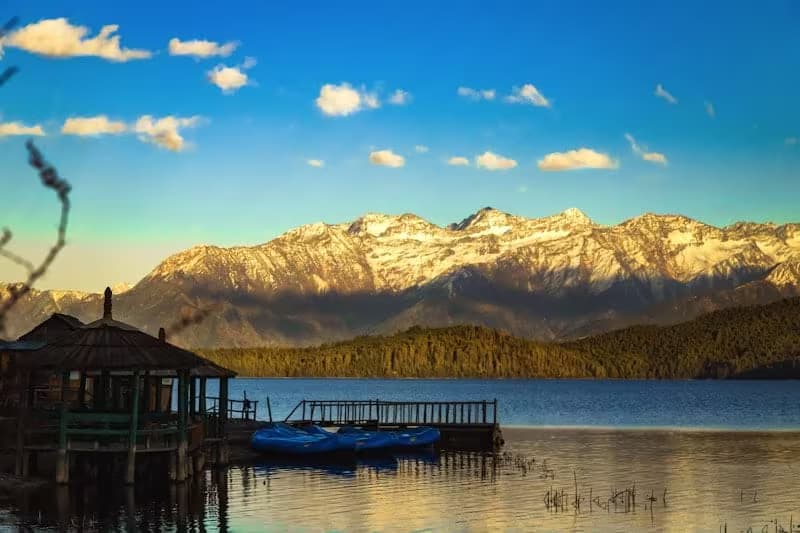
Rara Lake
Nepal's largest lake, three to four days on foot from Jumla or a jeep-and-walk combination
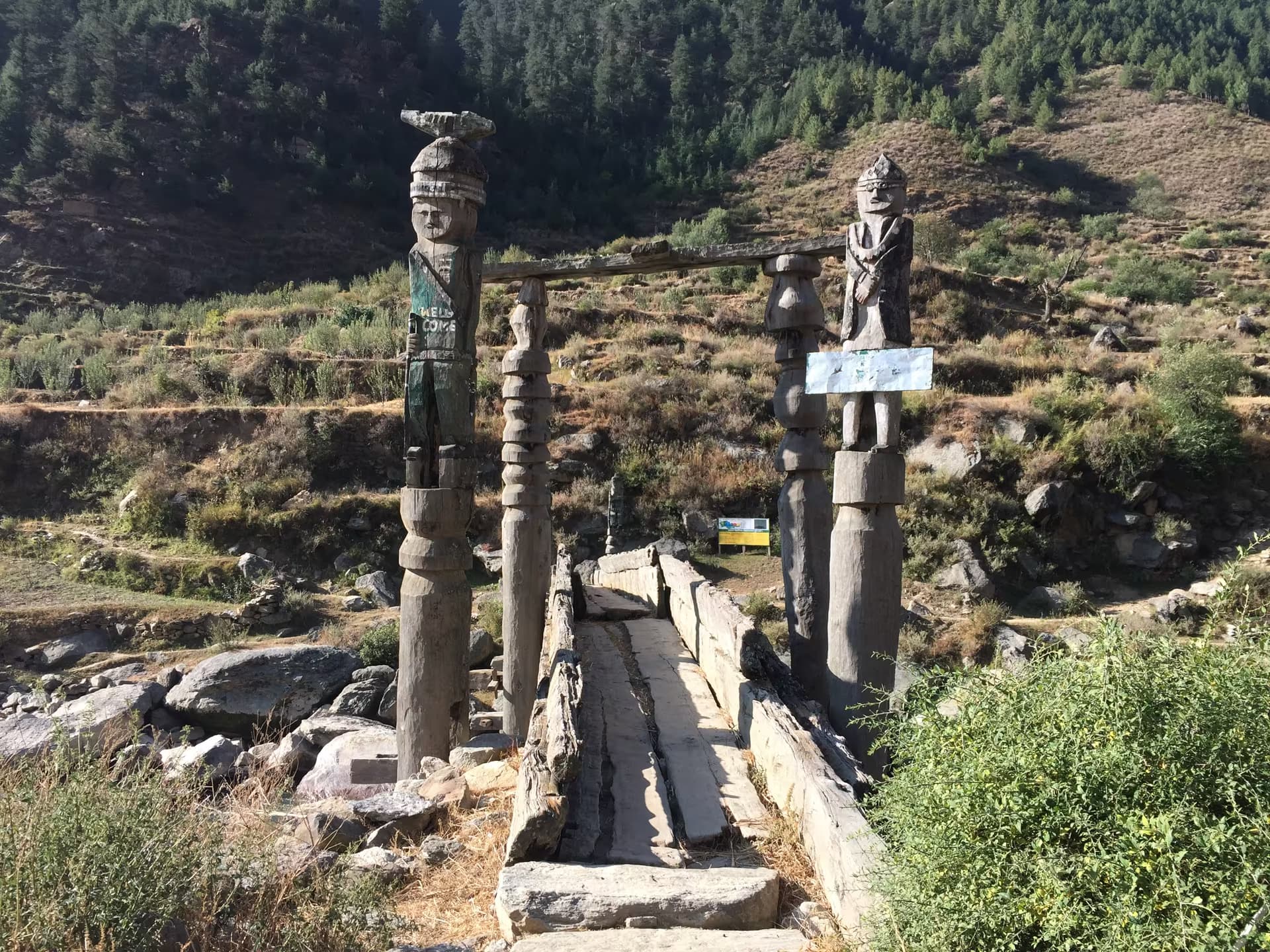
Sinja Valley
The Khas Malla capital, two days' walk north-west and directly on the Jumla-to-Rara route
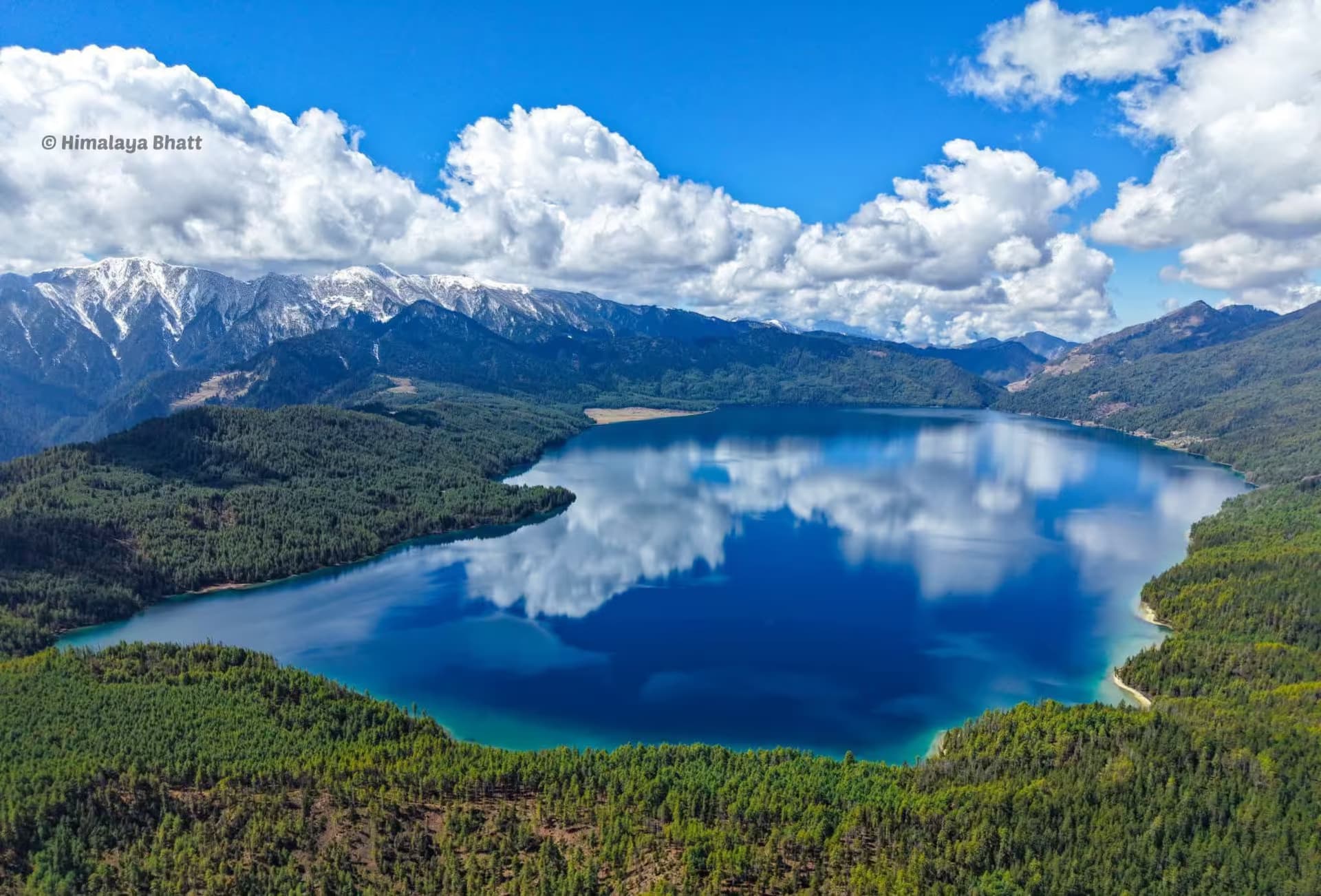
Rara National Park
Nepal's smallest national park, entered from Jumla or Kolti
Connects to
Routes and trails that link here
Planning this trip? Local operators publishing trips here can arrange it.
Elsewhere in this region
Help us get it right
Know Jumla better than we do?
We write from research and reporting, and the ground changes faster than we can keep up. If something here is out of date, or you have been and would tell it differently, we would rather hear it.