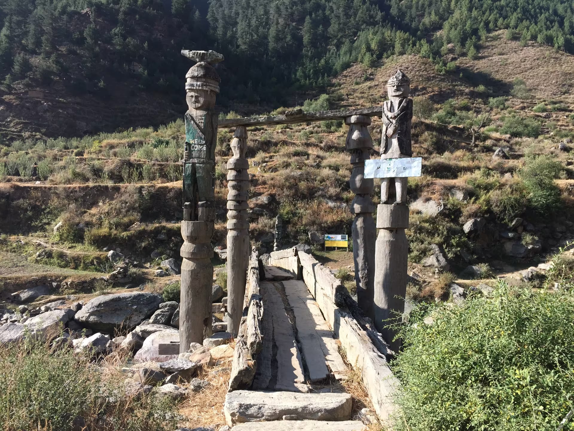
Sinja Valley
The 12th-century Khas Malla capital in Jumla district and the birthplace of the Nepali language — stone inscriptions, palace ruins and the Kanaka Sundari temple, on Nepal's UNESCO tentative list.
- Altitude
- 2,500 m
- Coordinates
- 29.398°, 81.996°
Current Weather
Sinja Valley is where the Nepali language was born. Between roughly 1200 and 1400 CE this quiet valley on the Sinja Khola in Jumla district was the summer capital of the Khas Malla kingdom, a Himalayan power whose reach ran from Kumaon in present-day India across western Nepal into western Tibet. The court's administrative language — Khas Kura, written in a distinctive local script on stone — is the direct ancestor of the Nepali spoken across the country today, which is why Nepali scholars call Sinja the cradle of the national language rather than a merely regional ruin.
What survives is deliberately understated. Scattered across the valley floor at roughly 2,500 metres are stone inscription pillars, the foundations of the royal palace complex at Sinjakhola, copperplate finds, carved stone slabs, and the Kanaka Sundari temple, the valley's principal shrine and the focus of local devotion. The best-known inscriptions date from the reigns of Khas Malla kings such as Krachalla, Ashokchalla and Prithvi Malla, and record land grants, temple endowments and royal genealogy — the raw material from which the entire history of medieval western Nepal has been reconstructed.
Sinja is on Nepal's UNESCO World Heritage Tentative List, submitted by the Department of Archaeology in 2008, but it has none of the visitor infrastructure that phrase might suggest. Excavation has been intermittent, interpretation on site is minimal, and much of the archaeology remains buried under farmland. Travellers who come here are rewarded with something rarer than a monument: a landscape you have to read, with a local guide, rather than photograph.
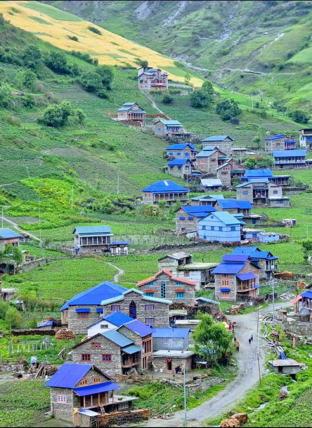
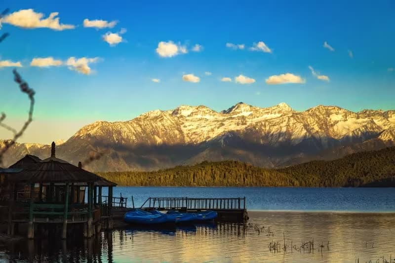
The valley lies roughly north-west of Jumla bazaar and is usually reached as a two-day walk from Jumla, or by a rough jeep road in dry conditions. It also sits directly on the classic Jumla-to-Rara trekking route, which means the Khas Malla capital and Nepal's largest lake can be combined in a single week. Spring and autumn are the workable seasons; the valley is snowbound in deep winter and the approach roads dissolve in the monsoon.
Bring your own supplies and expect homestay-grade accommodation in the surrounding villages. Treat the inscription stones as the fragile primary documents they are — do not climb on them or take rubbings.
Location & What's Inside
Connects to
Routes and trails that link here
Planning this trip? Local operators publishing trips here can arrange it.
Elsewhere in this region
Help us get it right
Know Sinja Valley better than we do?
We write from research and reporting, and the ground changes faster than we can keep up. If something here is out of date, or you have been and would tell it differently, we would rather hear it.