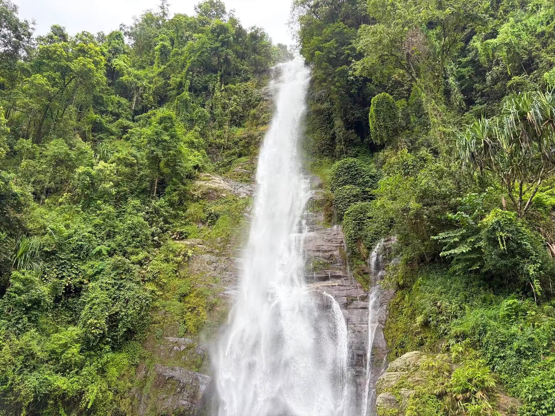
Lauke Jharana (Chhahare Jharana)
A tall spring-fed cascade above Simle village on the Nuwakot side of the Kakani ridge — an hour and a half from Kathmandu, then a two-hour walk in, and busiest in the monsoon when everywhere else in Nepal is being avoided.
- Coordinates
- 27.837°, 85.283°
Current Weather
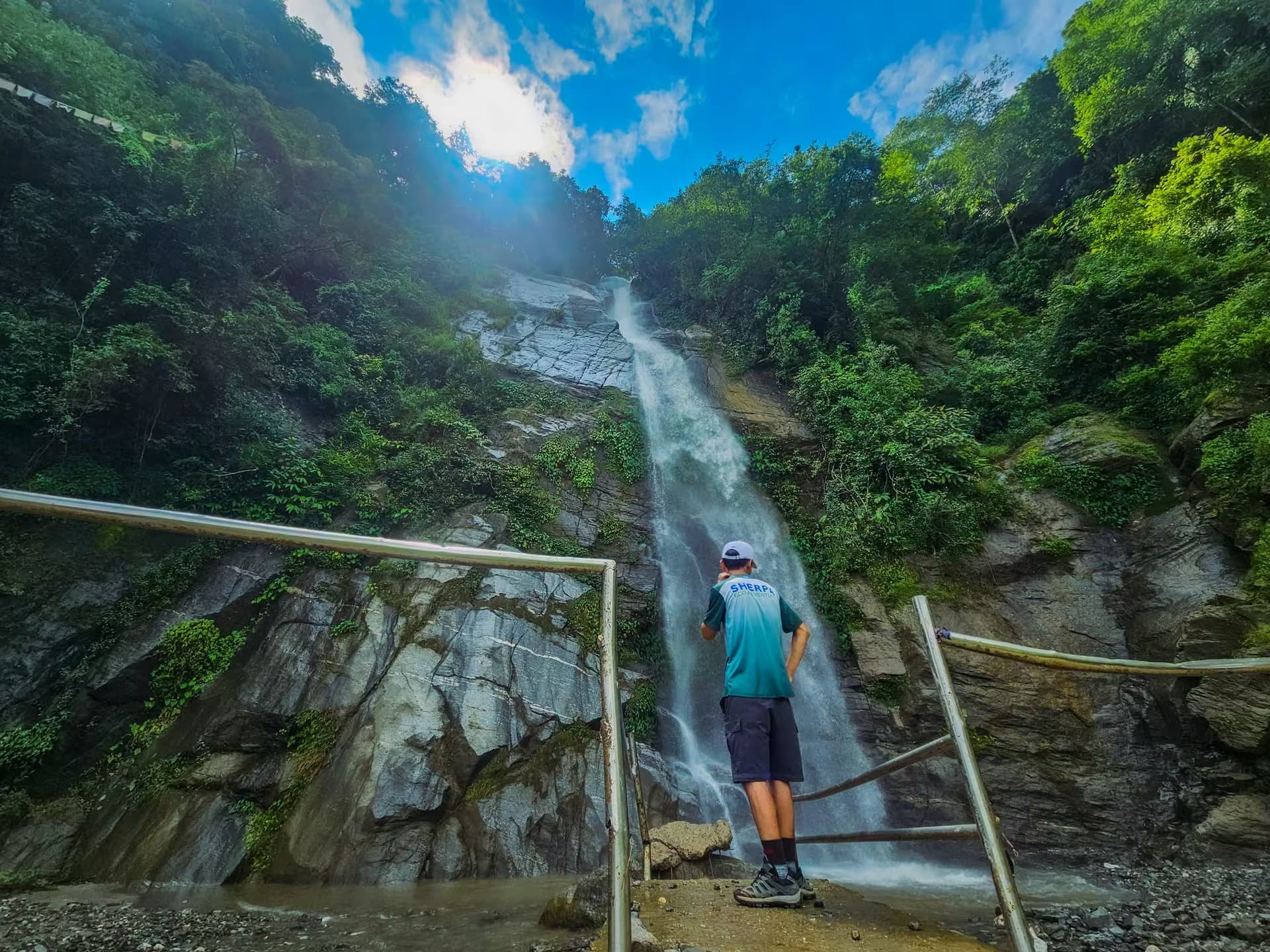
Lauke Jharana — known locally as Chhahare Jharana — drops out of the forest above Simle, on the Nuwakot side of the Kakani ridge. It is one of a cluster of waterfalls on this flank that went from village knowledge to weekend destination within a couple of seasons, and it still has no ticket counter, no built viewpoint and no lodge at the base.
Getting there
The usual approach is the Kakani road: Balaju to Kakani and on toward Ranipauwa, then a rough spur that turns to dirt for the last few kilometres. It is roughly 30 km from Samakhusi and about an hour and a half of driving on a good day. Reports differ on the final approach because there are two of them — some drivers come round via the Tokha road, which locals recommend in the monsoon when the Kakani spur is churned up. Either way the road stops short and the last stretch is on foot: budget around two hours of walking in and out combined, more if the trail is wet.
The waterfall sits northeast of the Kakani Adventure Camp. Riders on small bikes should know the offroad section is genuinely rough rather than merely bumpy, and it is not a beginner's ride in the rain.
What it is like
The fall comes down a mossy rock face into a shallow pool ringed by forest, with terraced farmland below and the ridge above. There are no facilities — carry water and food, and carry your rubbish out. The rock at the base stays slick year-round.
When to go
This inverts the usual Nepal advice. Monsoon and early post-monsoon — Bhadau and Asoj, roughly August into October — are when the water actually runs, and that is the point of the trip. Autumn and winter are pleasant walking but the fall thins considerably, and by spring it is a trickle. The trade-off is that monsoon is exactly when the access road is worst and leeches are out in the forest, so treat the drive as the difficult part and the walk as the easy one.
Nearby
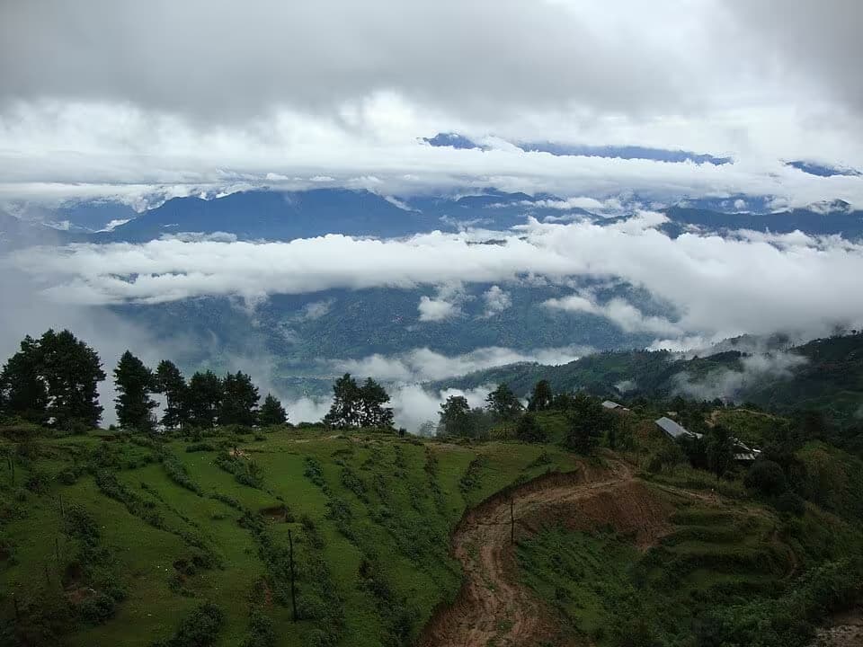
It pairs naturally with Fung Fung Jharana, the other Kakani-side waterfall, both reached off the same Ranipauwa road — though doing both in one day is a long day. The Kakani viewpoint hike is on the ridge above and is the fair-weather alternative when the falls are low.
Getting there
Lauke Jharana lies in southern Nuwakot, off the Kathmandu–Trishuli (Pasang Lhamu) highway. Bidur, the district road town, is the practical gateway; the final approach is local and road and trail condition have not been verified in season.
- BidurMain gateway
Location & What's Inside
Planning this trip? Local operators publishing trips here can arrange it.
Elsewhere in this region
Help us get it right
Know Lauke Jharana (Chhahare Jharana) better than we do?
We write from research and reporting, and the ground changes faster than we can keep up. If something here is out of date, or you have been and would tell it differently, we would rather hear it.