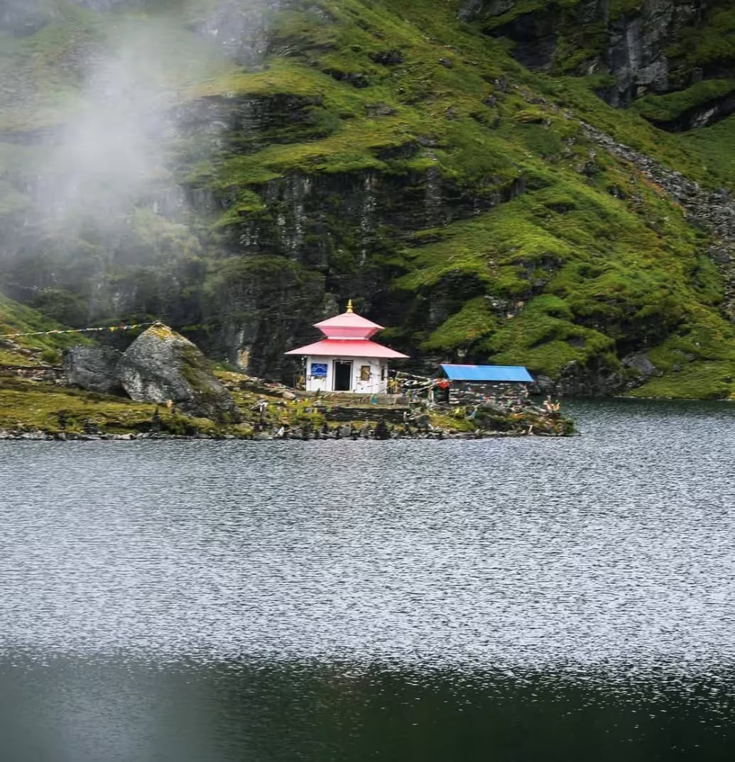
Timbung Pokhari
The 'gunfire lake' of the far east at 4,335m on the Taplejung–Panchthar divide — a Limbu and Hindu pilgrimage site said to crack like rifle shots and to turn away the impure of heart.
- Altitude
- 4,335 m
- Coordinates
- 27.438°, 88.058°
Current Weather
Timbung Pokhari is the easternmost of Nepal's great sacred lakes — a 466-metre sheet of alpine water at 4,335 metres on the ridgeline between Taplejung and Panchthar, close enough to Sikkim that pilgrims walk in from across the border. It lies in Sidingwa, on the southern edge of the Kanchenjunga Conservation Area, snowbound for half the year.
The name comes from the Limbu timbak — gunfire. The lake is famous for sudden cracks and booms off the water, sounds the faithful read as warnings: Timbung is said to turn away those who come with sin, greed or jealousy in their hearts. It is worshipped by Hindus as Bishnu Pokhari, and by the Limbu as one of the great seats of their Kirat tradition. Local lore adds two of the best stories in the eastern hills: that magpies keep the surface clean of fallen leaves, and that a colonial-era expedition that saw golden cattle in the lake and tried to drain it came to grief, its workers' graves still pointed out near the outlet.
The pilgrimage season is Shrawan (July–August), peaking at Janai Purnima and Nag Panchami, when processions climb from both districts to bathe and make offerings. The government listed Timbung among Nepal's 100 priority tourism destinations in 2018, but it remains gloriously unvisited.
The usual approach is from the south: fly to Bhadrapur, drive up through Ilam's tea country to Tharpu or Phidim, then five to eight days on foot up the long ridges — rhododendron forest, yak pasture, then bare rock and prayer flags, with Kanchenjunga filling the northern sky. Red panda, monal and blue sheep share the trail; pack for cold and self-sufficiency.
Location
Part of
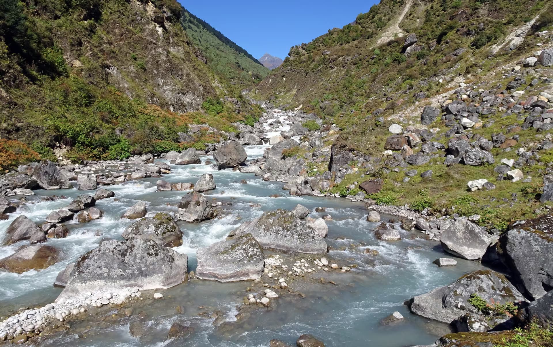
Kanchenjunga Conservation Area
Planning this trip? Local operators publishing trips here can arrange it.
Elsewhere in this region
Help us get it right
Know Timbung Pokhari better than we do?
We write from research and reporting, and the ground changes faster than we can keep up. If something here is out of date, or you have been and would tell it differently, we would rather hear it.