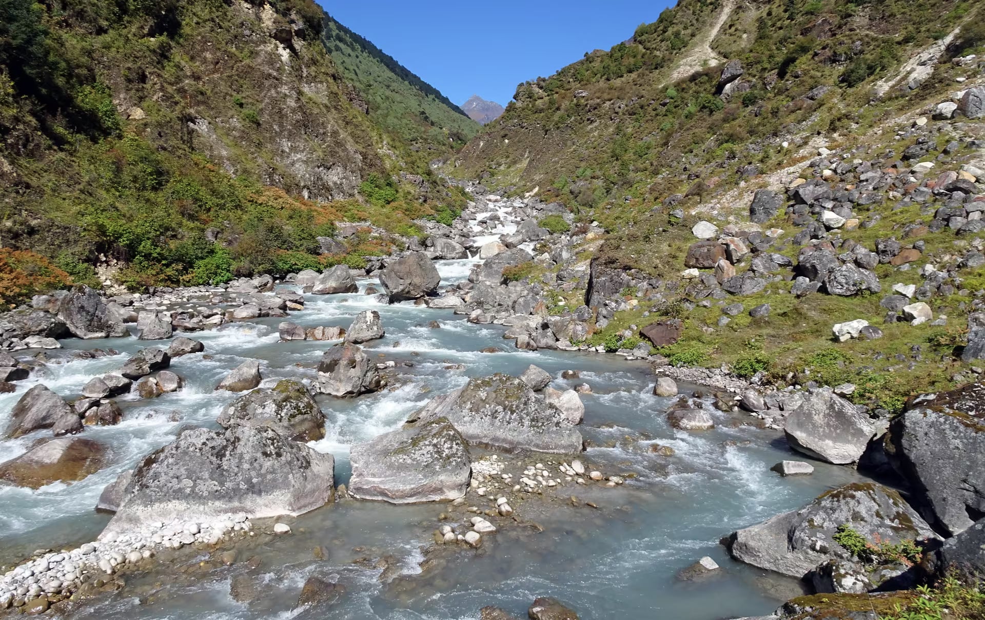
Kanchenjunga Conservation Area
Nepal's far-eastern wilderness beneath the world's third-highest peak — a community-managed snow leopard and red panda landscape on the Sikkim border.
- Altitude
- 8,586 m
- Coordinates
- 27.700°, 88.050°
Current Weather
The Kanchenjunga Conservation Area protects 2,035 square kilometres of far-eastern Nepal around Kanchenjunga (8,586m), the third-highest mountain on earth. Established in 1997 and declared a 'Gift to the Earth', it was the first protected area in Nepal to be fully handed over to community management, run by the Kanchenjunga Conservation Area Management Council.
The area forms part of a transboundary conservation landscape linking Nepal with India's Sikkim and Bhutan. It ranges from subtropical forest to permanent snow and ice, and is one of the most important habitats in the eastern Himalaya for snow leopard, red panda, Himalayan black bear, musk deer and the Asiatic wild dog. Its forests of rhododendron and oak are botanically exceptional.
The resident Limbu, Rai and Sherpa communities maintain a strong cultural presence, and the landscape is dotted with monasteries and high pasture settlements. Tourism remains light and low-impact.
Kanchenjunga is a restricted area requiring a special permit and a registered guide. Treks to the north and south base camps of Kanchenjunga start from Taplejung, reached by road or a flight to Suketar. Spring and autumn offer the most stable weather.
Getting there
Use Taplejung as the nearest configured transport hub, then continue locally to Kanchenjunga Conservation Area.
- TaplejungNearest configured hub
Routes to Taplejung
- BiratnagartoTaplejungJeep6-9 hr
- BhadrapurtoTaplejungJeep7-10 hr
Taplejung is the nearest transport hub we have route data for, not a verified gateway for Kanchenjunga Conservation Area. The final stretch is local and we have not confirmed it.
Location & What's Inside
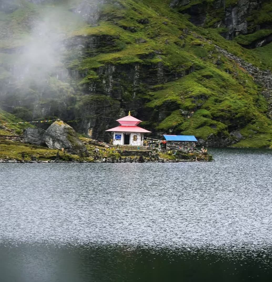
Within this area
Places and landmarks inside
Connects to
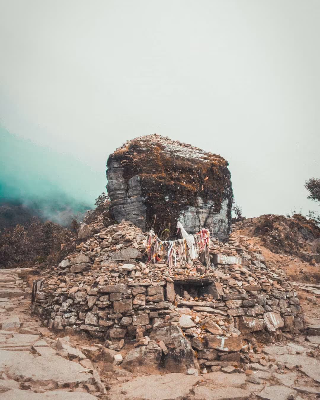
Routes and trails that link here
Planning this trip? Local operators publishing trips here can arrange it.
Elsewhere in this region
Help us get it right
Know Kanchenjunga Conservation Area better than we do?
We write from research and reporting, and the ground changes faster than we can keep up. If something here is out of date, or you have been and would tell it differently, we would rather hear it.