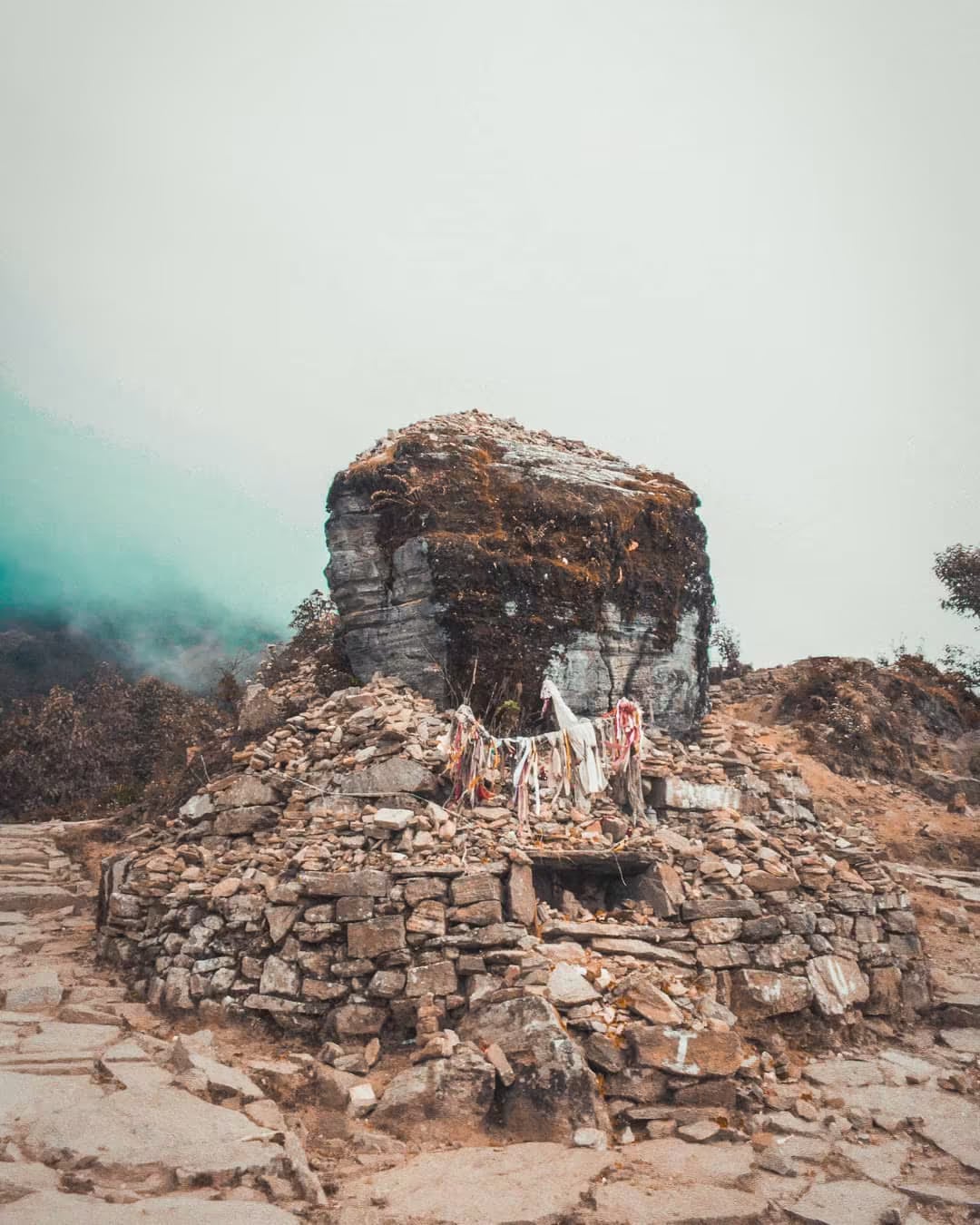
Taplejung (Phungling)
Eastern Nepal's mountain gateway at 1,441m — the staging town for Kanchenjunga and Pathibhara, and the heartland of Limbu (Yakthung) culture.
- Altitude
- 1,441 m
- Coordinates
- 27.356°, 87.670°
Current Weather
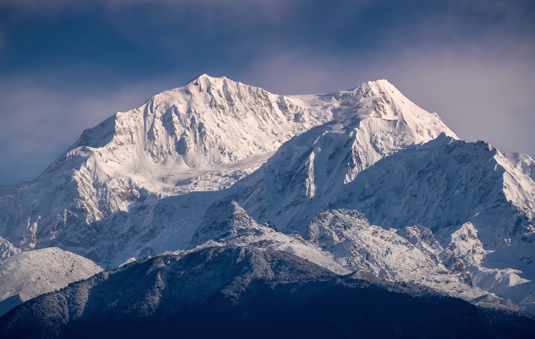
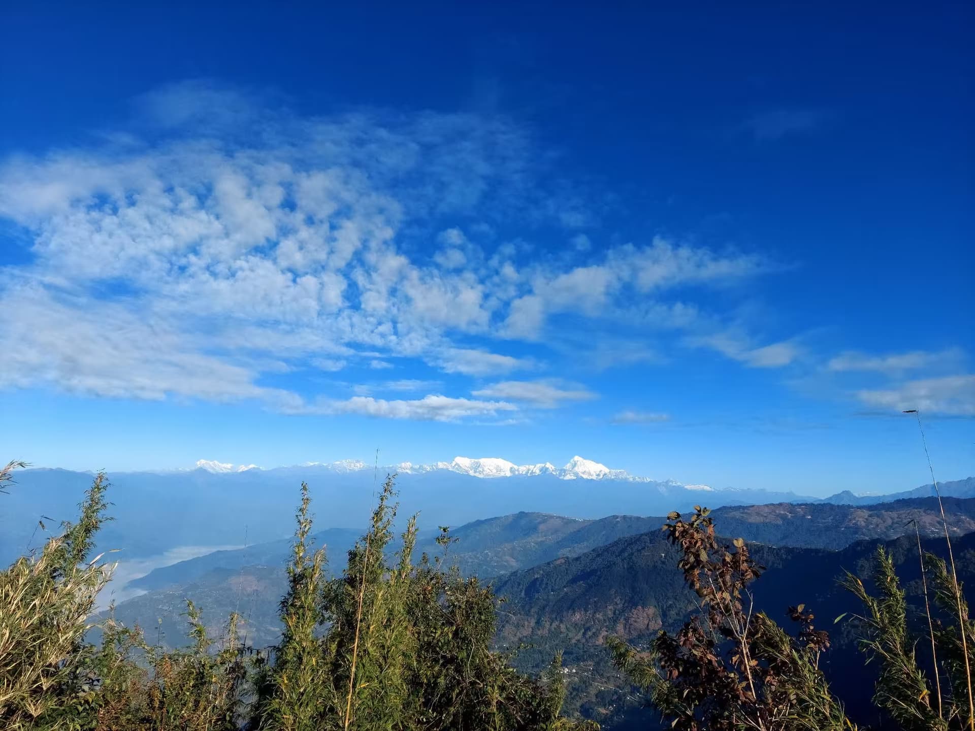
Phungling, almost universally called Taplejung after its district, is the last real town before the far eastern Himalaya. It sits at 1,441 metres on a ridge above the Tamor river, and every expedition to Kanchenjunga — at 8,586 metres the world's third-highest mountain — passes through it, along with every pilgrim heading up to the Pathibhara Devi shrine on the ridge above Suketar.
The town is the cultural centre of the Limbu people, who call themselves Yakthung and whose homeland, Limbuwan, covered the hills east of the Arun until its incorporation into Nepal in 1774 under the kipat treaty that guaranteed Limbu communal land rights. Limbu culture here is not a museum piece: the Mundhum, the vast oral scripture recited by phedangma priests, is still performed at births, marriages and funerals; the Chyabrung drum dance and the Dhan Nach paddy dance are living social forms; and tongba, hot millet beer sipped through a bamboo straw from a wooden vessel, is the region's defining drink and its most reliable introduction to a household.
Taplejung's geography is exceptional even for Nepal. The district climbs from subtropical Tamor valley bottoms to the Kanchenjunga glaciers in under 60 kilometres of horizontal distance, and the Kanchenjunga Conservation Area — 2,035 square kilometres gazetted in 1997 and managed by the community since 2006 — protects snow leopard, red panda and Himalayan black bear across that gradient. Tinjure-Milke-Jaljale, the rhododendron ridge on the district's south-western boundary, holds one of the densest concentrations of rhododendron species in the world and turns scarlet in April.
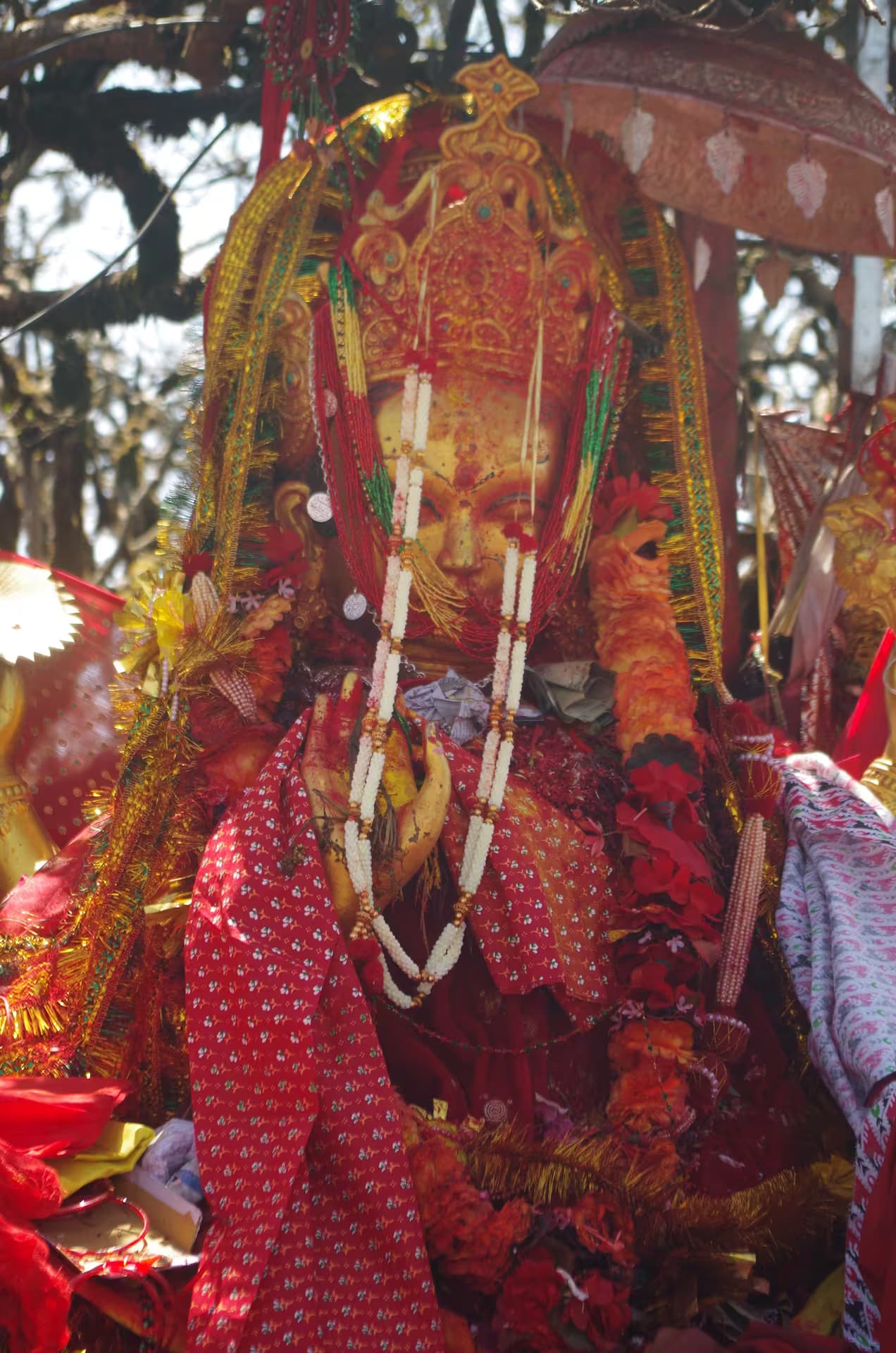
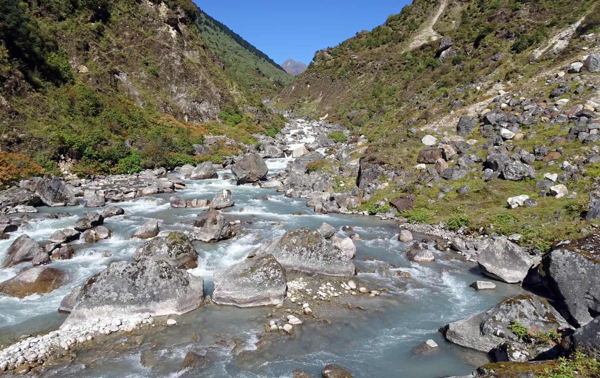
Most travellers arrive by a long road journey from Birtamod or Ilam, or by air to Suketar airstrip a short drive above town when flights are operating. From Phungling, trekkers head north for the Kanchenjunga north and south base camp routes through Ghunsa and Yamphudin — a three-week undertaking requiring a restricted-area permit and a registered guide — while day visitors make the Pathibhara pilgrimage, one of eastern Nepal's most important Shakti sites.
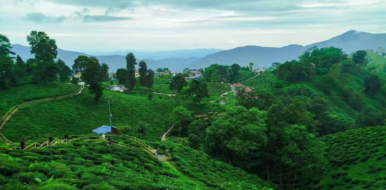
The town itself is a working bazaar rather than a sight: government offices, gear shops, tea stalls, and a weekly market that draws farmers from across the district. Come in October-November or March-May. Ilam's tea gardens make an obvious pairing on the way in or out.
Location & What's Inside
Gateway to
Starting point for these destinations
Connects to
Routes and trails that link here
Related
Connected places and entries worth pairing
Planning this trip? Local operators publishing trips here can arrange it.
Elsewhere in this region
Help us get it right
Know Taplejung (Phungling) better than we do?
We write from research and reporting, and the ground changes faster than we can keep up. If something here is out of date, or you have been and would tell it differently, we would rather hear it.