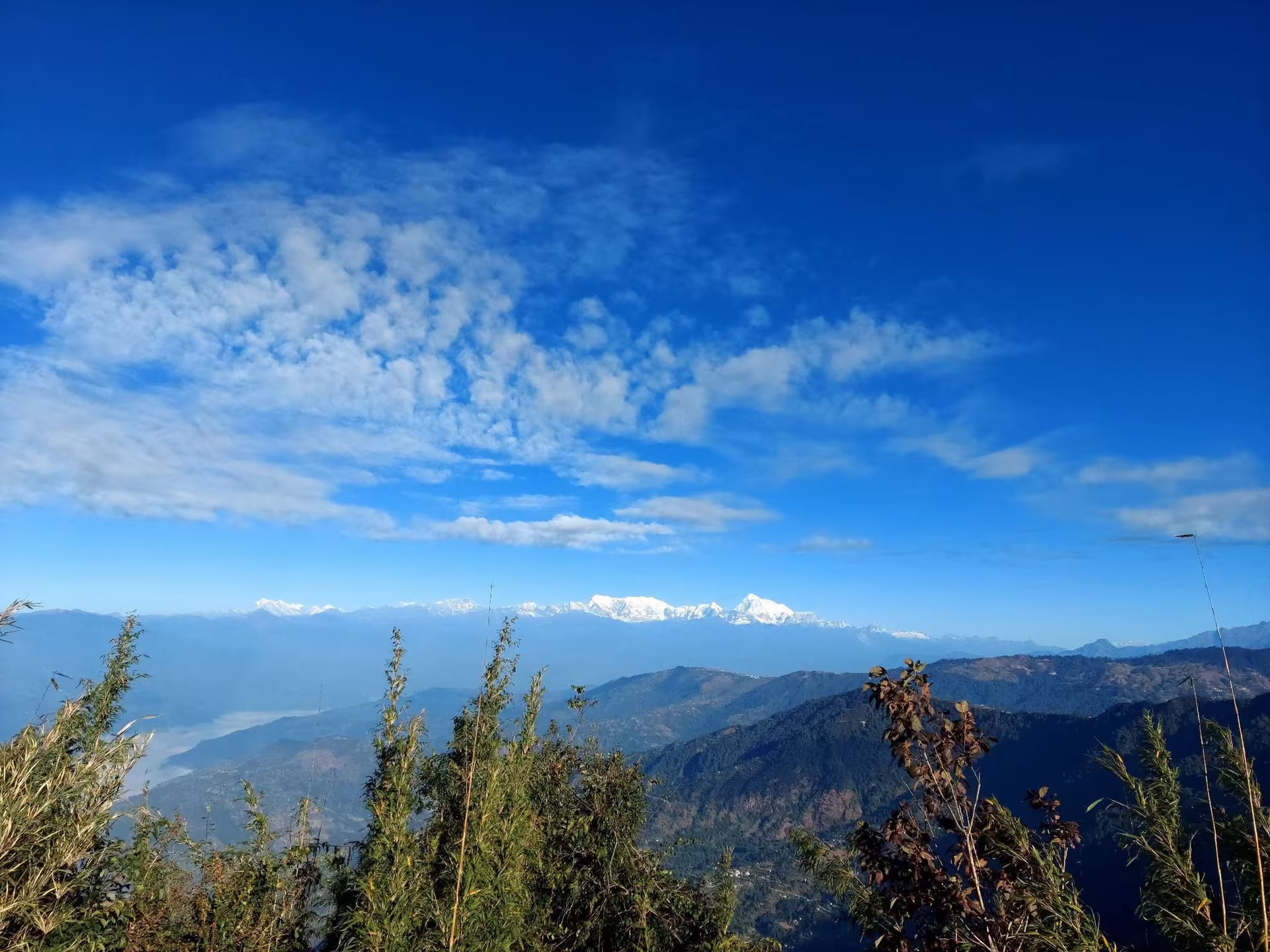
Basantapur
The 2,200 m road town where the highway out of the eastern Terai reaches rhododendron country — roadhead for the Tinjure–Milke–Jaljale ridge and the old walking start for Kanchenjunga.
- Altitude
- 2,200 m
- Coordinates
- 27.136°, 87.408°
Current Weather
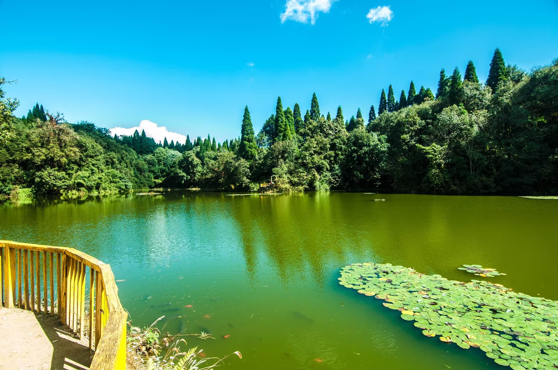
Basantapur is a highway town with a specific job: it is where the road out of the eastern Terai finally reaches the rhododendron ridge. It sits at roughly 2,200 metres in Laligurans Municipality of Terhathum district — laligurans is the Nepali name for rhododendron, and the municipality is named for it — and the bazaar is a strip of lodges, tea shops and jeep stands at the junction where traffic divides between Terhathum, Sankhuwasabha and the long road on to Taplejung.
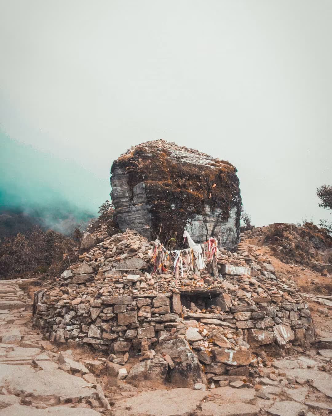
For walkers it is the roadhead for Tinjure–Milke–Jaljale, the ridge system where those three districts meet and which carries a large share of Nepal's rhododendron species. The route north from Basantapur climbs through Tinjure and Milke Danda to Gupha Pokhari and the Jaljale lakes, and for a few weeks in late March and April the forest along it flowers red, pink and white without a break. Before the road reached Phungling this was also where Kanchenjunga trips began on foot; expedition accounts from the 1970s and 1980s open with a truck to Basantapur and a week of walking.
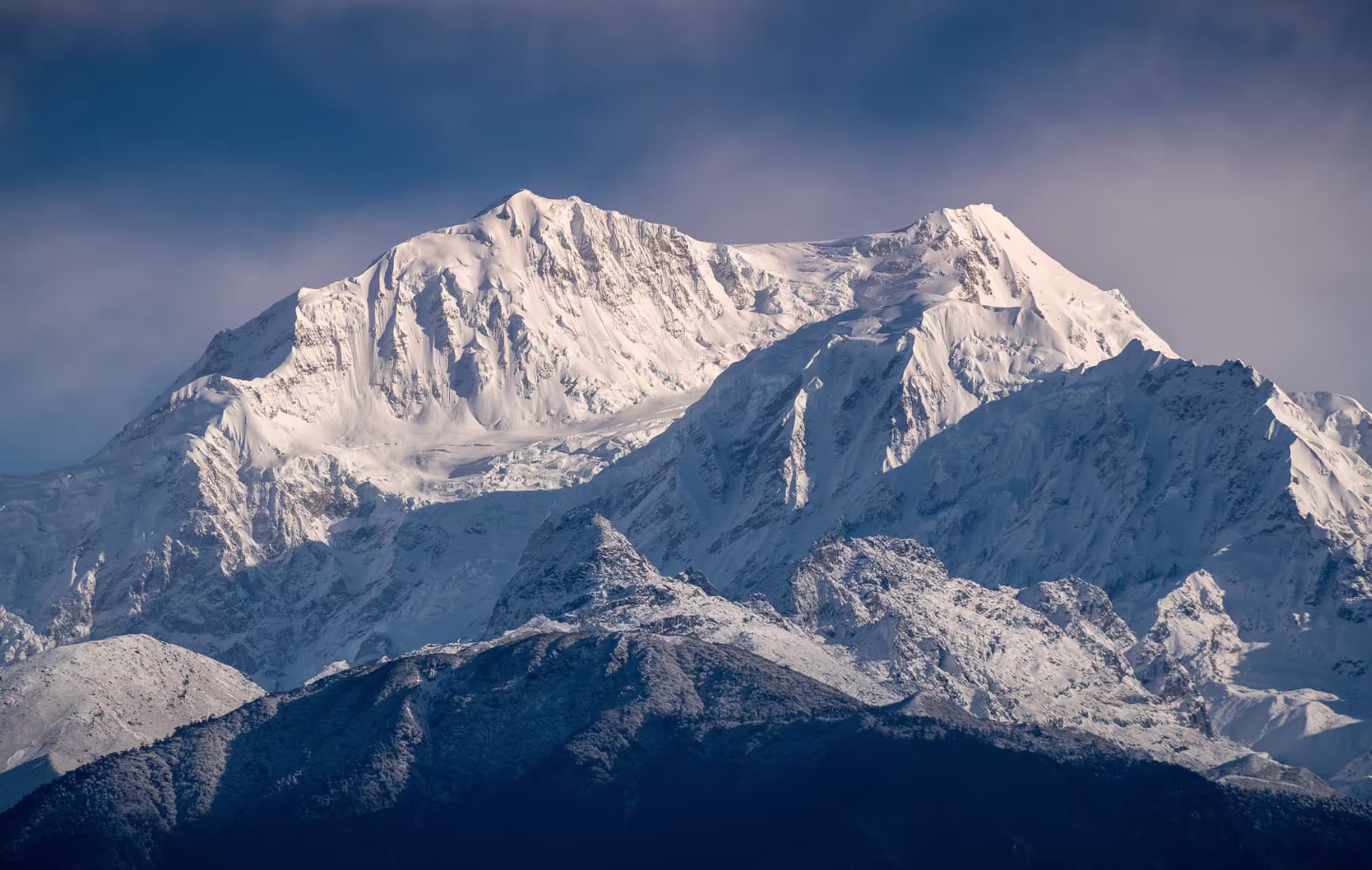
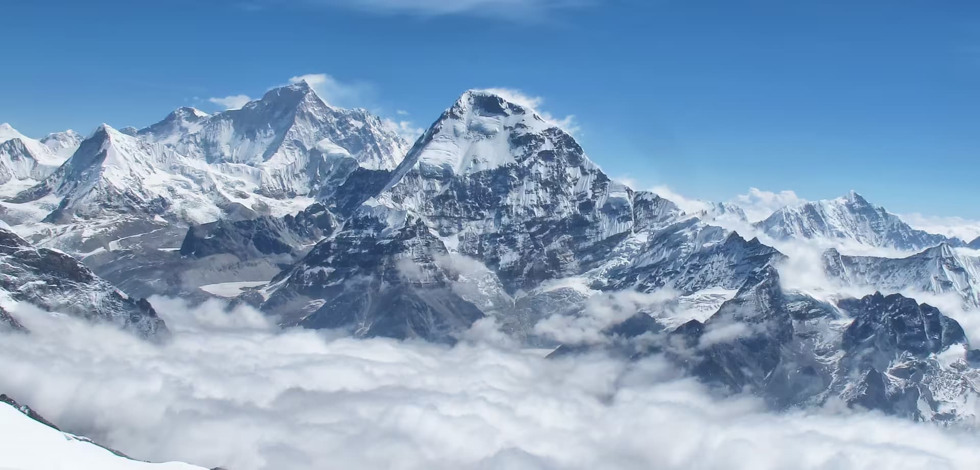
Basantapur itself is not a sight, and that is worth knowing before you plan a night here. It is cold, frequently inside cloud, and built for people passing through — useful rather than pretty. Expect an unheated room, a very good plate of dal bhat and a five o'clock jeep. On clear mornings Kanchenjunga and Makalu stand over the ridge to the north.
The season is unambiguous. Come in spring for the flowers, or in October and November for the clearest air. Monsoon is landslide season on this road and the ridge stays inside cloud for weeks at a time; midwinter brings occasional snow to the bazaar and shuts the higher walking down.
Location & What's Inside
Connects to
Routes and trails that link here
views
Related
Connected places and entries worth pairing
Planning this trip? Local operators publishing trips here can arrange it.
Elsewhere in this region
Help us get it right
Know Basantapur better than we do?
We write from research and reporting, and the ground changes faster than we can keep up. If something here is out of date, or you have been and would tell it differently, we would rather hear it.