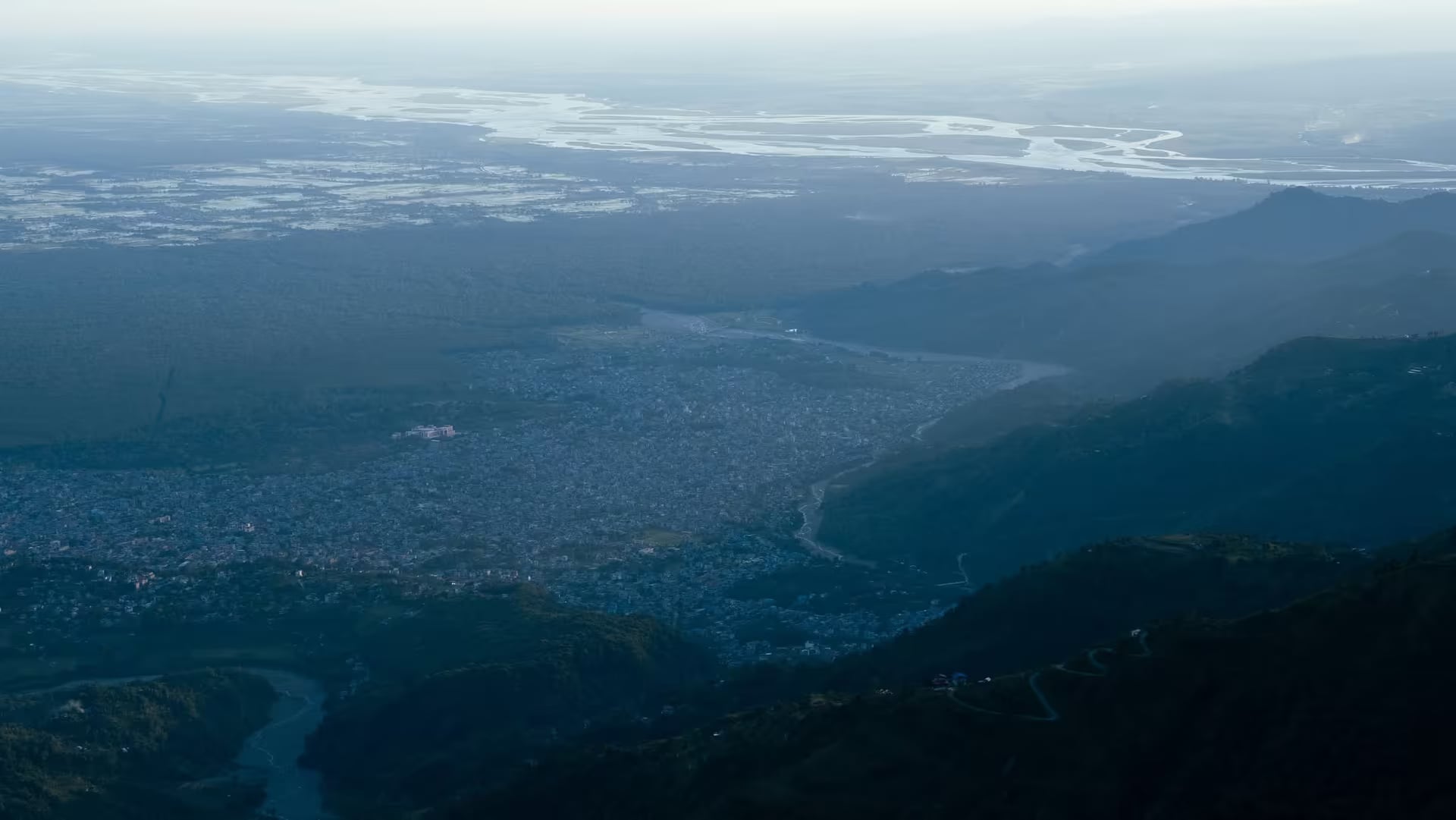
Bhedetar
The pass where the Terai ends — a 1,420 m hill station 16 km above Dharan, known for cloud pouring through the gap, a skywalk tower on the old Charles Point, and the eastern Himalaya on a clear winter morning.
- Altitude
- 1,420 m
- Coordinates
- 26.862°, 87.320°
Current Weather
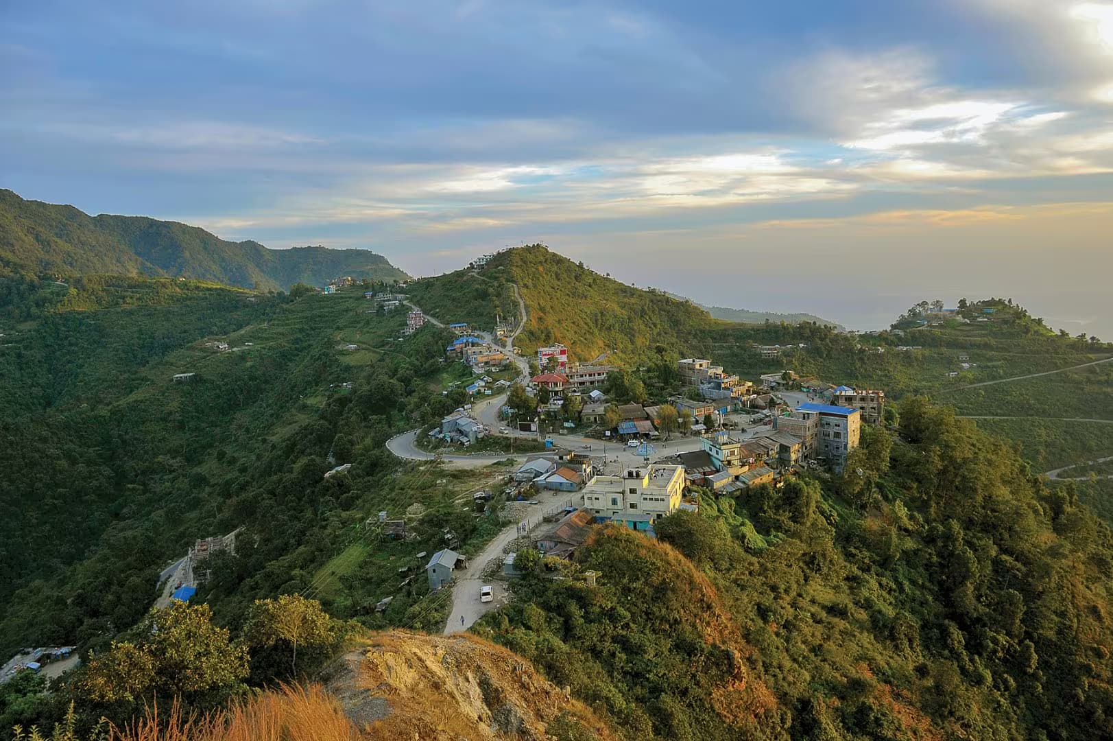
Bhedetar is the first cool air you meet coming north out of the plains. The Dharan–Dhankuta highway, built with British assistance and completed in 1982, climbs sixteen kilometres and a thousand vertical metres out of the Terai heat to a saddle at 1,420 metres, and the settlement that grew at the top of that climb is eastern Nepal's weekend hill station. It sits exactly on a seam: the ridge is the boundary between Dharan Sub-Metropolitan City in Sunsari and Sangurigadhi Rural Municipality in Dhankuta, which is a fair description of how the place feels — the last of the plains on one side, the first of the hills on the other.
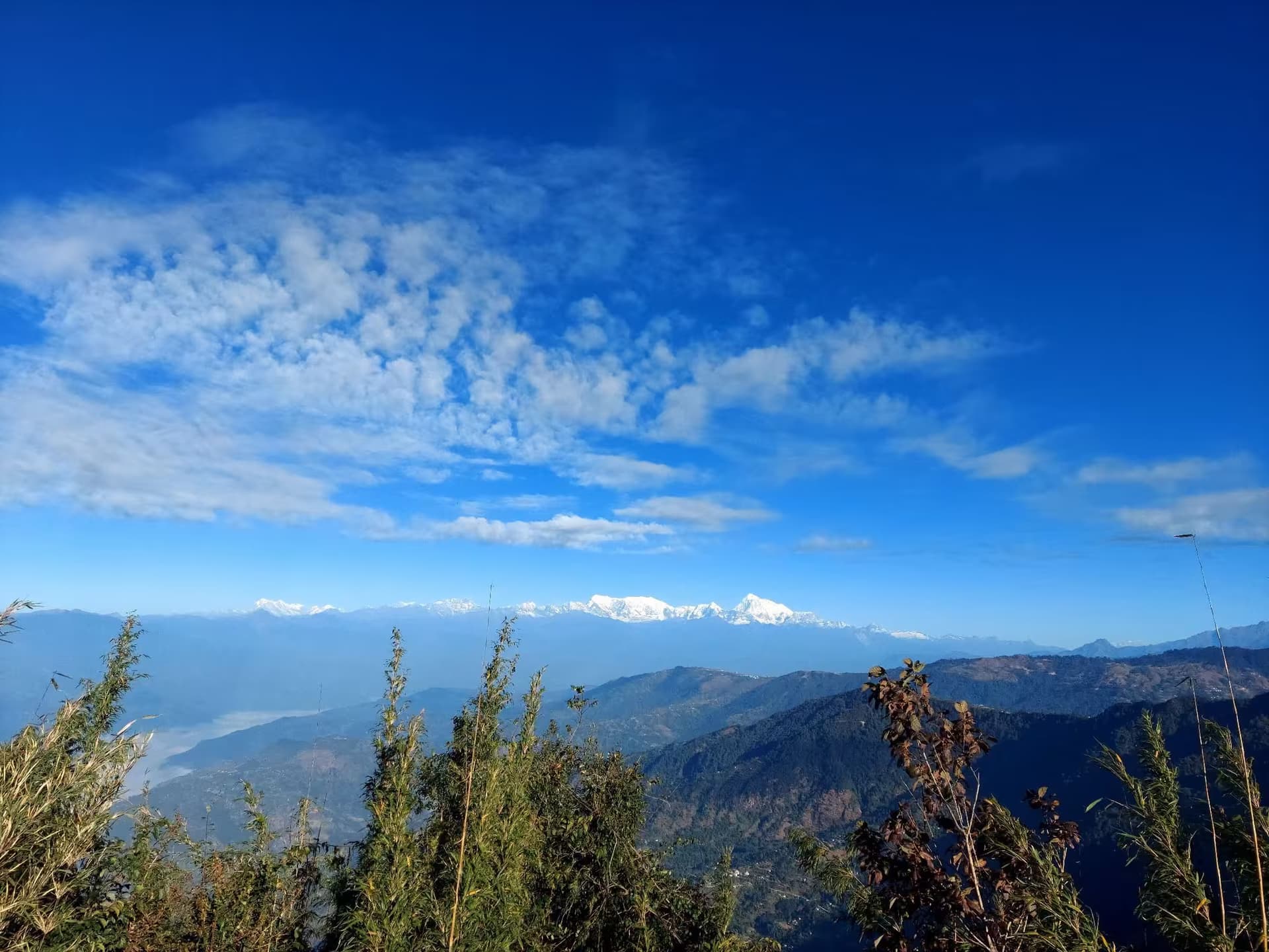
The weather is the attraction as much as the view. Cloud funnels up through the gap from the Terai and pours over the pass through the afternoon, so a July visitor from Itahari or Biratnagar drives up into mist and a temperature ten degrees below home, with the mountains entirely invisible. That is the trip most domestic visitors are actually taking, and it is a good one. The other trip is the clear-morning trip, from late October through February, when the northern horizon opens on Makalu, Kumbhakarna, Kanchenjunga and — small and very far off — Everest.
The viewpoint has changed names. The hilltop was known for four decades as Charles Point, after Prince Charles climbed it in 1980 while the highway was being built; in 2024 an 18.5-metre skywalk tower opened on the same spot and the site is now signed as the Bhedetar Skywalk Tower. Around it are the ordinary pleasures of a Nepali hill bazaar — tea shops, corn on the coals, a Nepal Television transmitter mast on the ridge, a statue of the Kirat historian Iman Singh Chemjong — with paragliding launching off the Dharan side and Namaste Jharna, a waterfall in the gorge below, as the standard short walk.
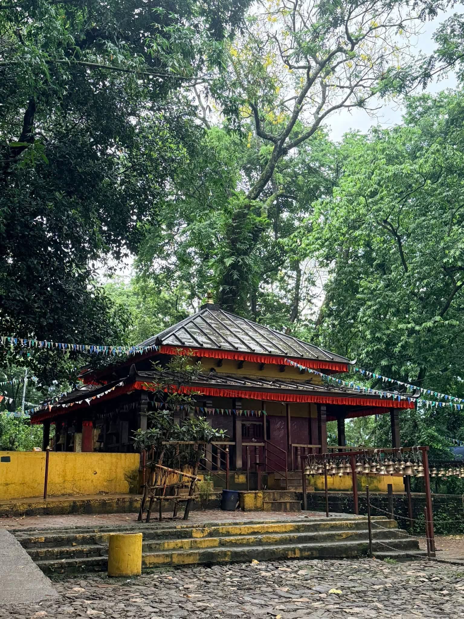
Book a night if you want the mountains, because day-trippers from Dharan arrive long after the morning window has closed. Most visitors pair the pass with the Magar homestay village at Namje a few kilometres east along the ridge, and stop at Budhasubba Temple on the way up.
Location & What's Inside
Connects to
Routes and trails that link here
views
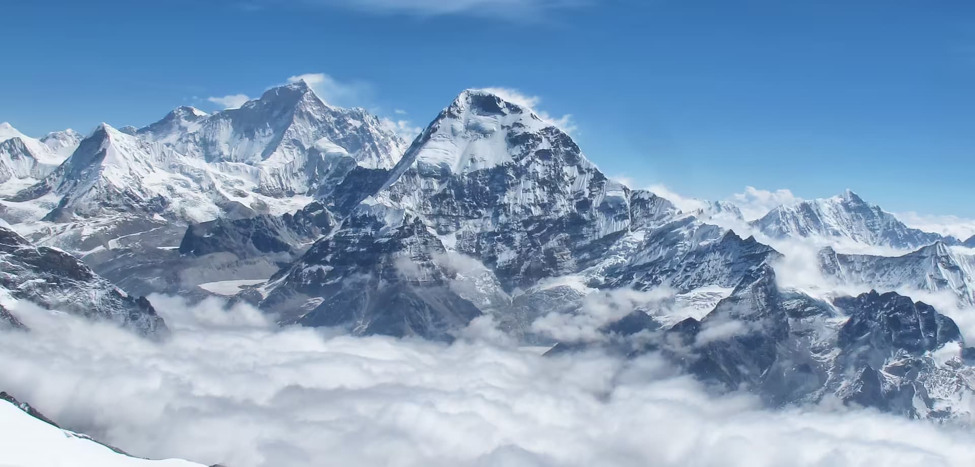
Makalu
On the northern skyline from the skywalk tower on clear post-monsoon and winter mornings
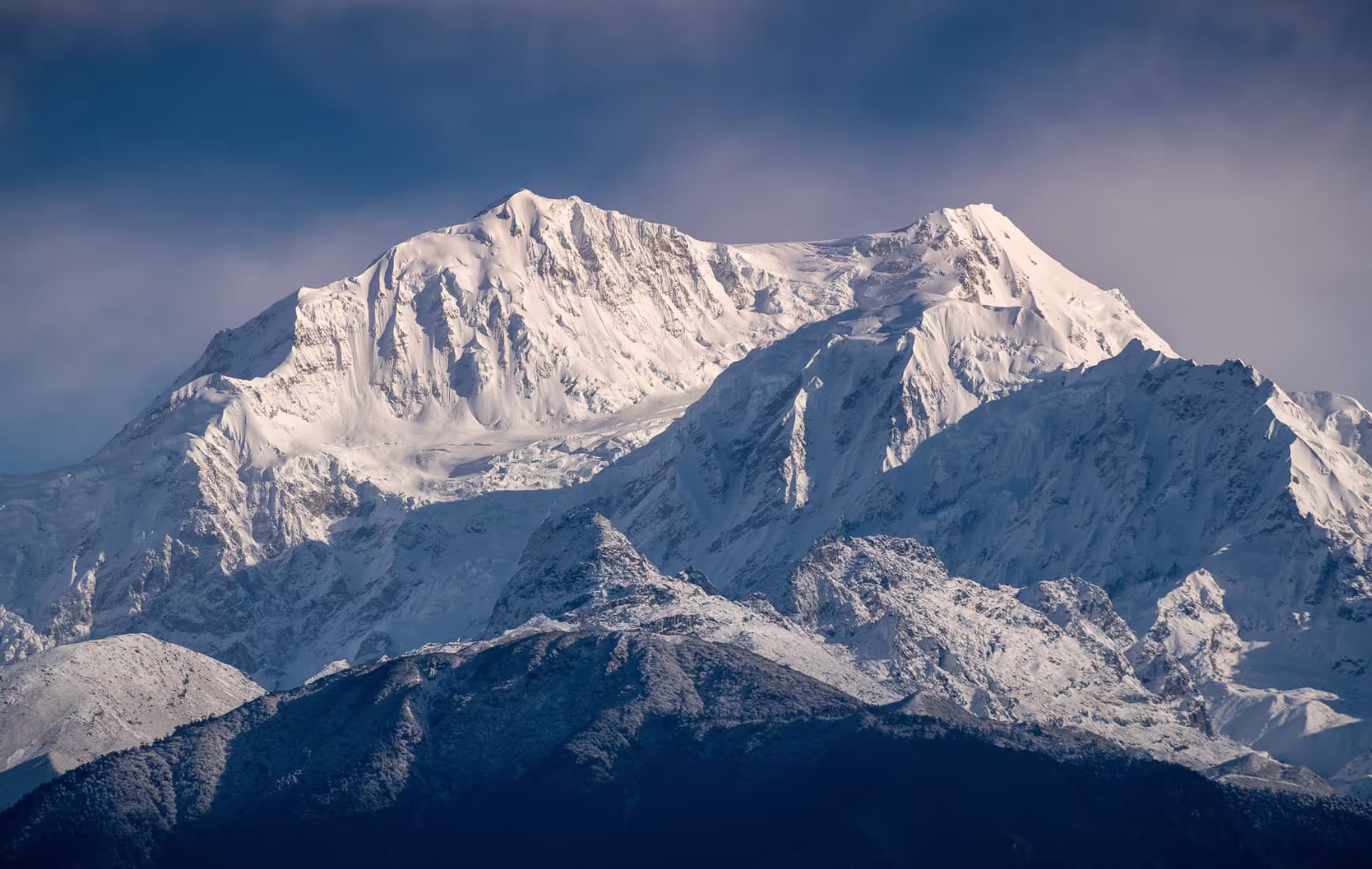
Kangchenjunga
The dominant summit to the north-east from the pass when the air is clear
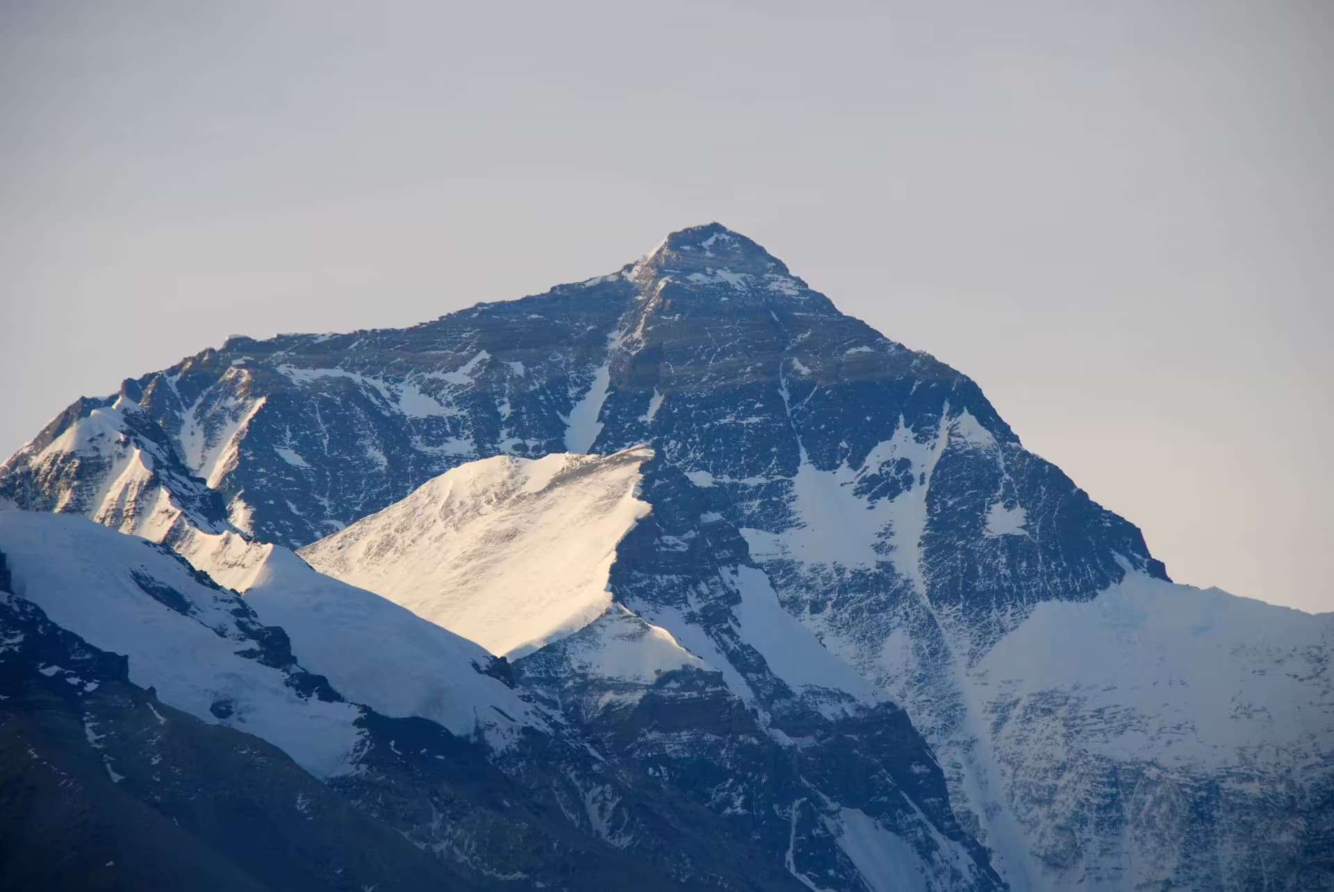
Mount Everest (Sagarmatha)
Visible only as a distant point on the very clearest winter mornings — do not plan a trip around it
Planning this trip? Local operators publishing trips here can arrange it.
Elsewhere in this region
Help us get it right
Know Bhedetar better than we do?
We write from research and reporting, and the ground changes faster than we can keep up. If something here is out of date, or you have been and would tell it differently, we would rather hear it.