Namje
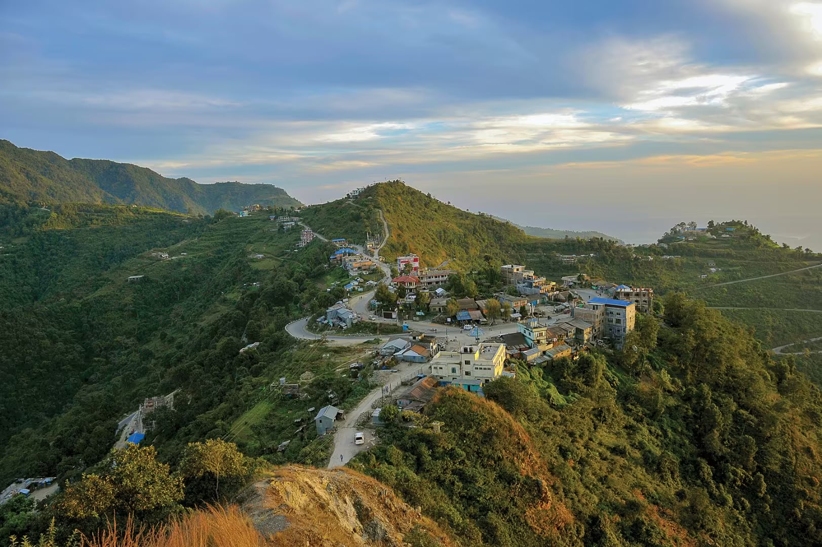
A Magar ridge village at 1,585 m above Bhedetar that turned community homestays into a livelihood — terraced fields, Hurra dancing, and a skyline from Everest to Kanchenjunga on a clear morning.
- Altitude
- 1,585 m
- Coordinates
- 26.862°, 87.338°
Current Weather
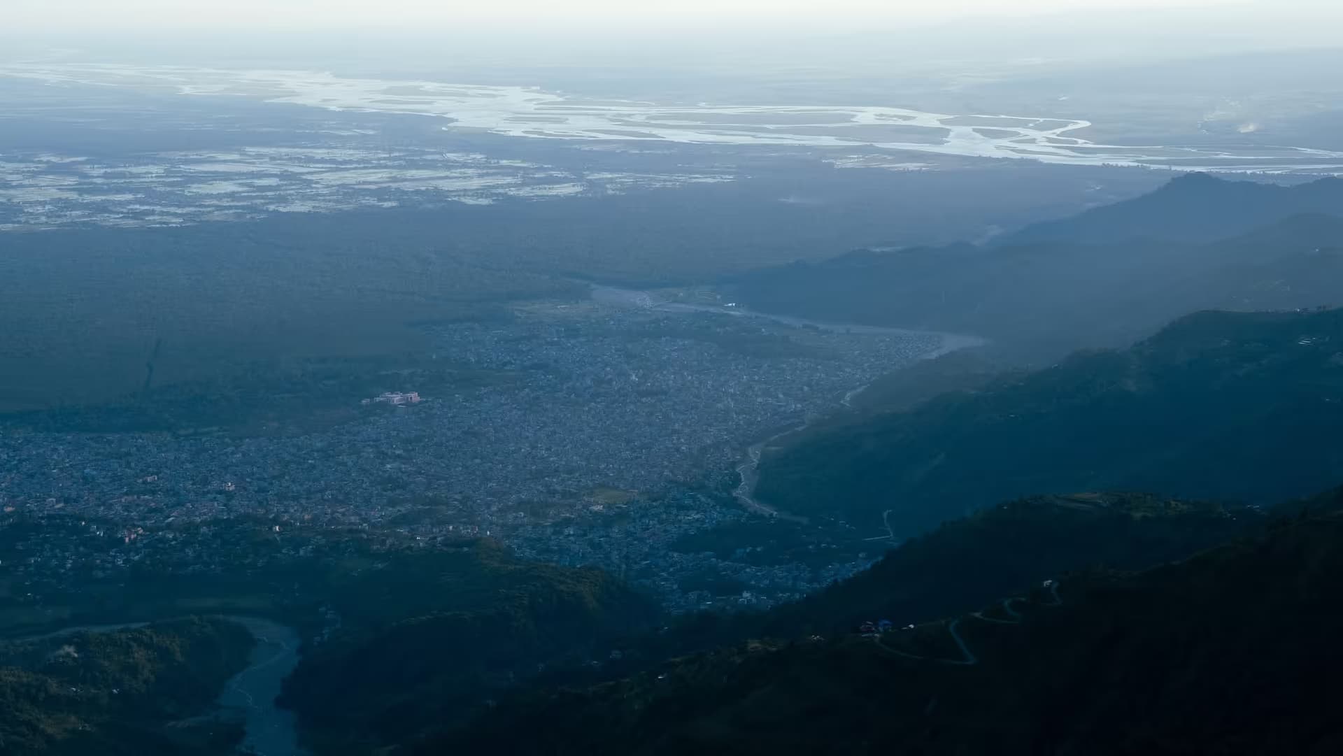
Namje sits on the ridge a few kilometres east of Bhedetar, at about 1,585 metres in Sangurigadhi Rural Municipality of Dhankuta district. It is a Magar village of a few dozen households, and for most of its history its defining fact was water: the settlement is on a ridge with no spring above it, and fetching water from the valley below consumed hours of every day. What changed Namje's prospects was a lifted water supply and, from 2013, a community homestay scheme that now runs across roughly two-thirds of the village's houses.
That scheme is the reason to come, and it is worth being clear about what it is. Namje is not a monument or a ticketed viewpoint; it is a working farming village that organised itself to host visitors, so the experience is a room in somebody's house, dinner cooked over a wood fire, and Magar spoken around you. Households take turns on a rota, which is how the money spreads rather than pooling at one lodge. Cultural evenings usually include Hurra, the Magar dance the village is known for, and the terraces falling away on both sides grow millet, maize, cardamom and vegetables.
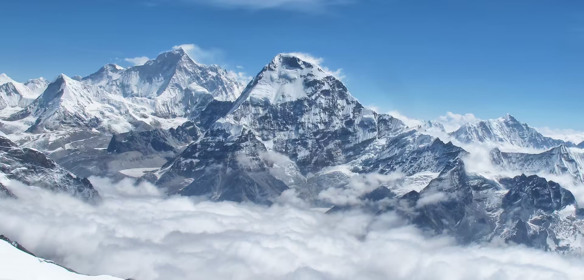
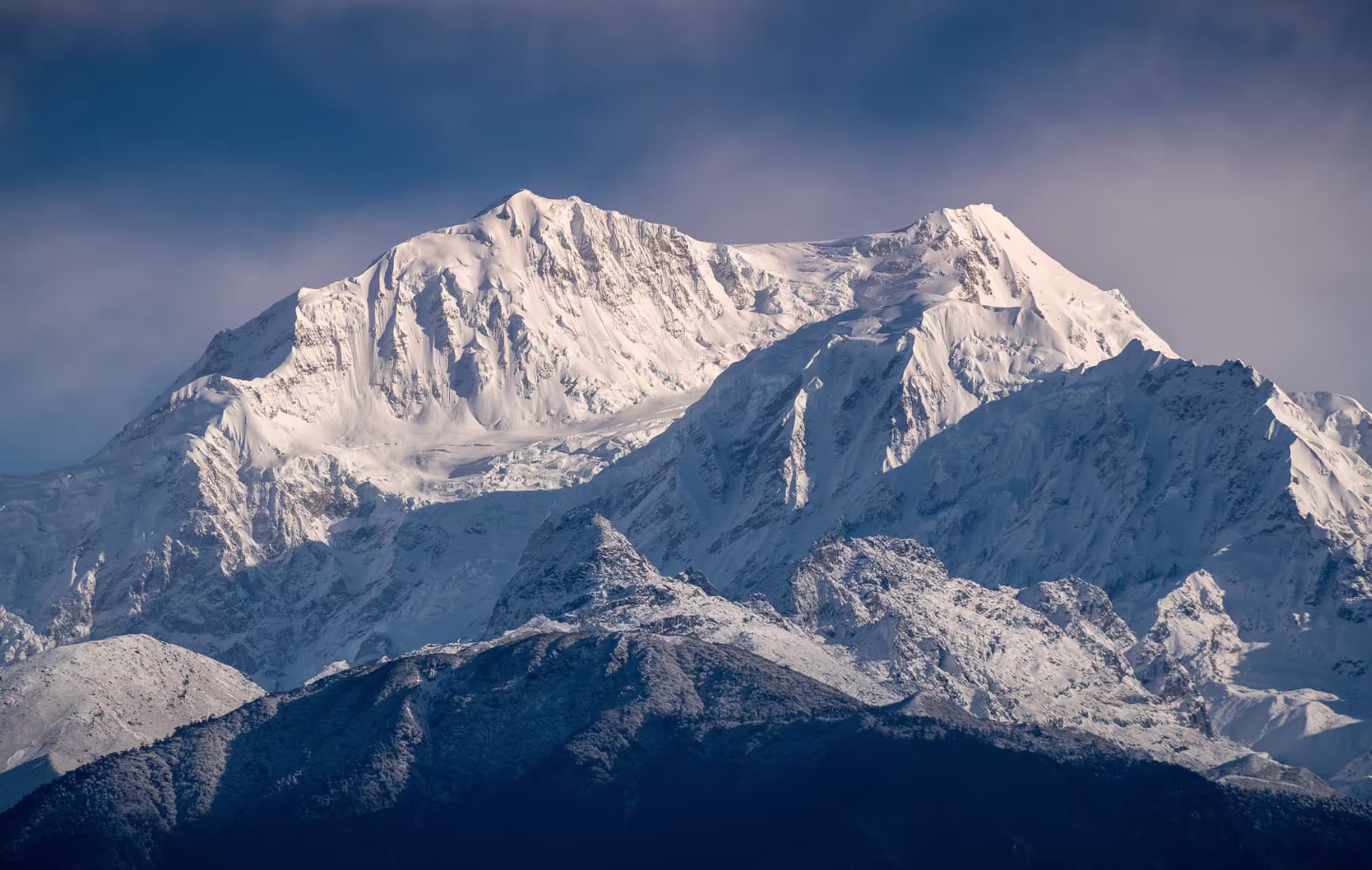
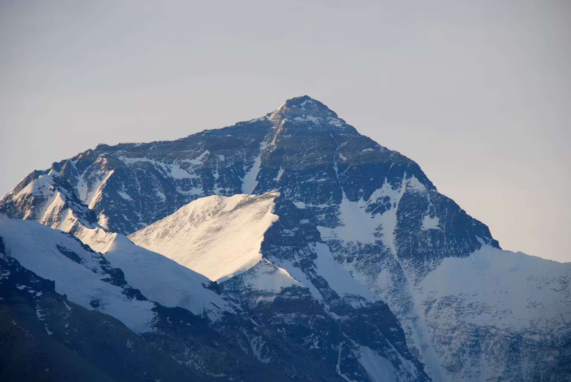
The ridge earns its reputation on clear mornings between October and February, when the northern skyline runs from Everest across Makalu to Kumbhakarna and Kanchenjunga on the Sikkim border. Sunset on the other side is the quieter half of the same view — the lights of Dharan and Itahari coming on across the plains.
Getting here means Bhedetar first, then a short rough road east along the ridge; a jeep or a motorbike is more comfortable than a car, and in monsoon the last stretch can be a walk. Arrange the homestay in advance through the village coordinator rather than arriving unannounced — the rota only works if somebody knows you are coming.
Location & What's Inside
views
Planning this trip? Local operators publishing trips here can arrange it.
Elsewhere in this region
Help us get it right
Know Namje better than we do?
We write from research and reporting, and the ground changes faster than we can keep up. If something here is out of date, or you have been and would tell it differently, we would rather hear it.