Chandragiri Hills
A forested climb from Thankot to the southwestern valley rim — panorama from Dhaulagiri to Everest, with a cable-car bail-out.
Know before you go
Trip readiness
Best timing
October-December, February-April
Treat this as the first planning window, then verify local trail and weather conditions.
Time needed
5h
Include acclimatization and transport buffers for mountain routes.
Permit status
No listed permit
Confirm current trekking rules before booking guides, flights, or jeeps.
Difficulty
Moderate
Kathmandu route. Match this to fitness, altitude experience, and daily walking hours.
Live conditions
Trail weather available
Use the weather card before starting, especially during monsoon and winter windows.
Chandragiri marks the southwestern high point of the Kathmandu Valley rim at 2,551m. The classic hiking route climbs from Thankot on the old Tribhuvan Highway through mixed pine and rhododendron forest, following an ancient trader path once used for the first royal descent into the valley.
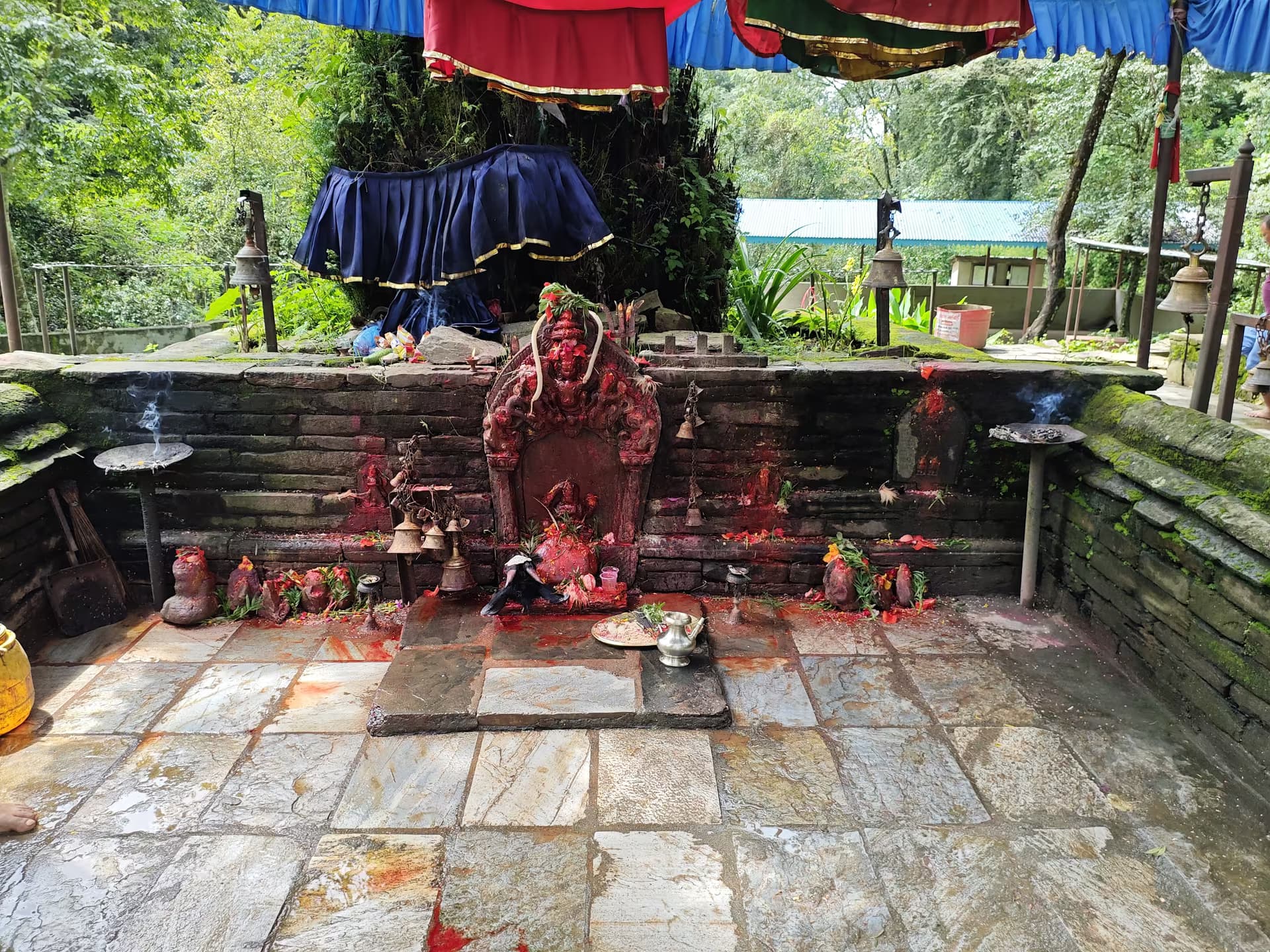
The summit is crowned by the Bhaleshwor Mahadev temple and an observation deck. The panorama is exceptional: on clear winter mornings, peaks from Dhaulagiri through Annapurna, Manaslu, Ganesh, Langtang, Jugal, Gaurishankar, Numbur, and even distant Everest are all visible in one sweep. The Kathmandu Valley spreads directly below.
A modern cable car now runs to the summit, which is convenient as a bail-out or one-way descent after a long climb. Start early — by mid-morning the summit is often crowded with cable-car day-trippers, and the mountain views fade behind haze.
Connects to
Routes and trails that link here
Planning this trek? Local operators publishing trips here can arrange it.
Elsewhere in this region
Help us get it right
Know Chandragiri Hills better than we do?
We write from research and reporting, and the ground changes faster than we can keep up. If something here is out of date, or you have been and would tell it differently, we would rather hear it.