Dhulikhel
A Newar hill town on the valley's eastern rim — Dhaukhya in Nepal Bhasa — with a brick old quarter, a thousand-step climb to the Kali shrine, and a Himalayan skyline that runs from Langtang to Gaurishankar.
- Altitude
- 1,550 m
- Coordinates
- 27.618°, 85.552°
Current Weather
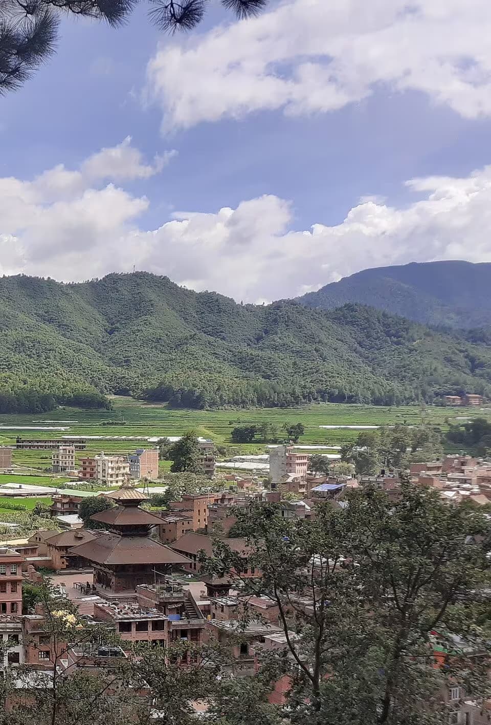
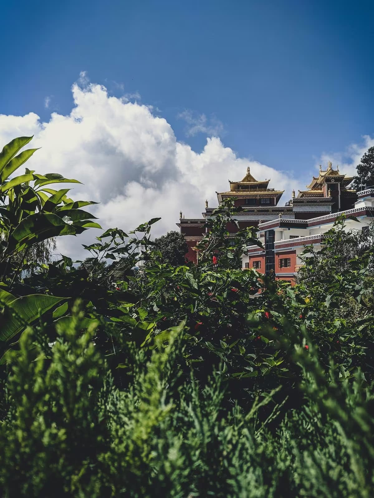
Dhulikhel stands at 1,550 m on the eastern rim of the Kathmandu Valley, 30 km from Kathmandu, where the Arniko Highway and the B.P. Highway meet. It is the district headquarters of Kavrepalanchok, and it does two quite different things well: it is a genuine old Newar town, and it is the best-placed mountain viewpoint within an easy drive of the capital.
In Nepal Bhasa the town is Dhaukhya (धौख्यः), and the Newar majority in the old quarter is the reason the architecture is what it is.
The old town
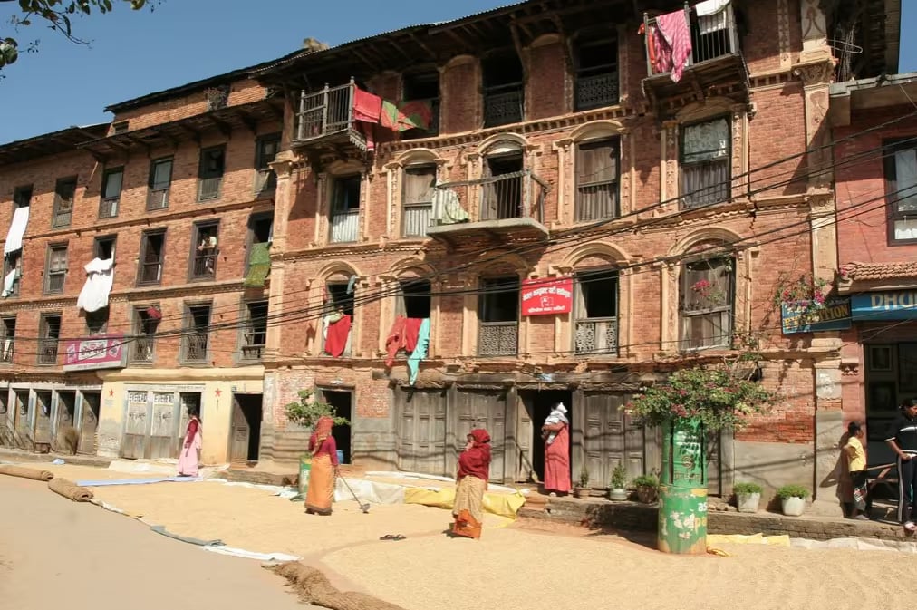
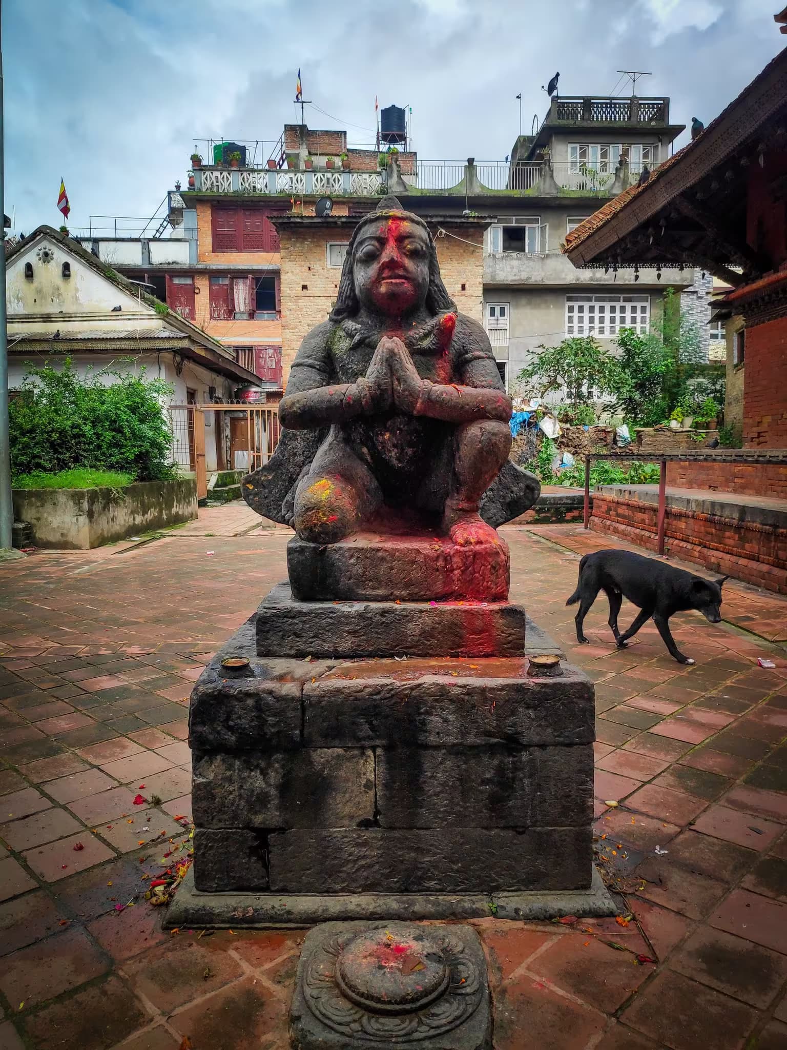
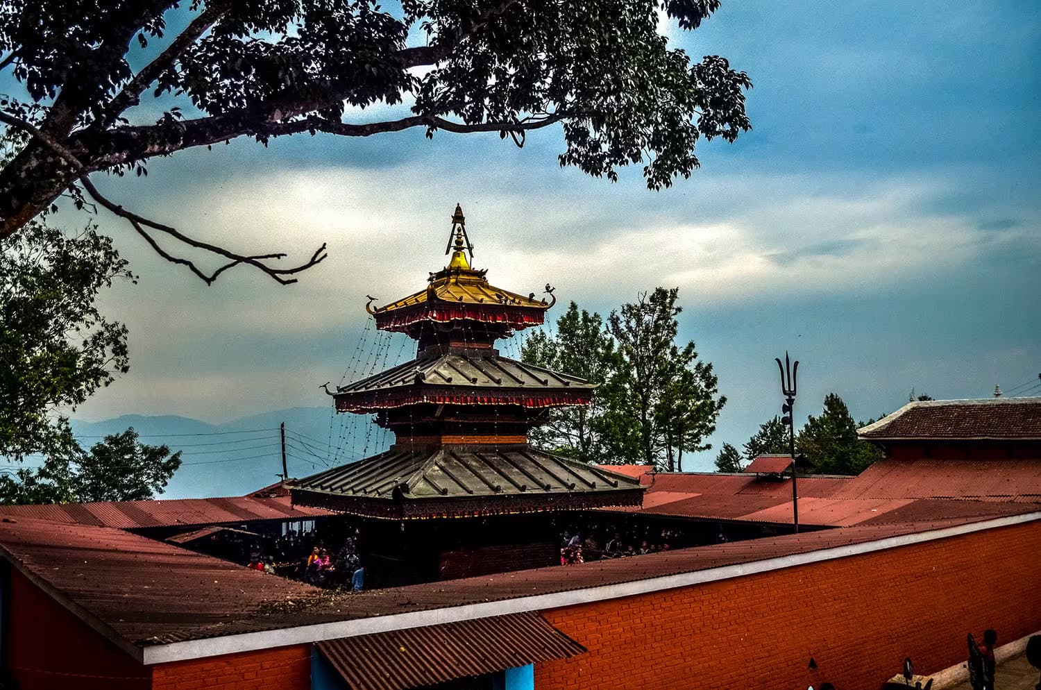
Walk west and south of the bus park, away from the highway, and the town changes completely: brick houses with carved windows, a sequence of small squares, and temples in constant use — Narayansthan (Vishnu), Bhagwati, Harisiddhi, a Krishna temple, a Ganesh temple. It is smaller and less curated than Bhaktapur and correspondingly less visited. Half an hour on foot covers it; two hours is better.
Like Banepa below it, Dhulikhel grew on the Tibet trade route, and its Newar merchant families are the same story — five hundred years of goods moving toward Kodari.
The thousand steps
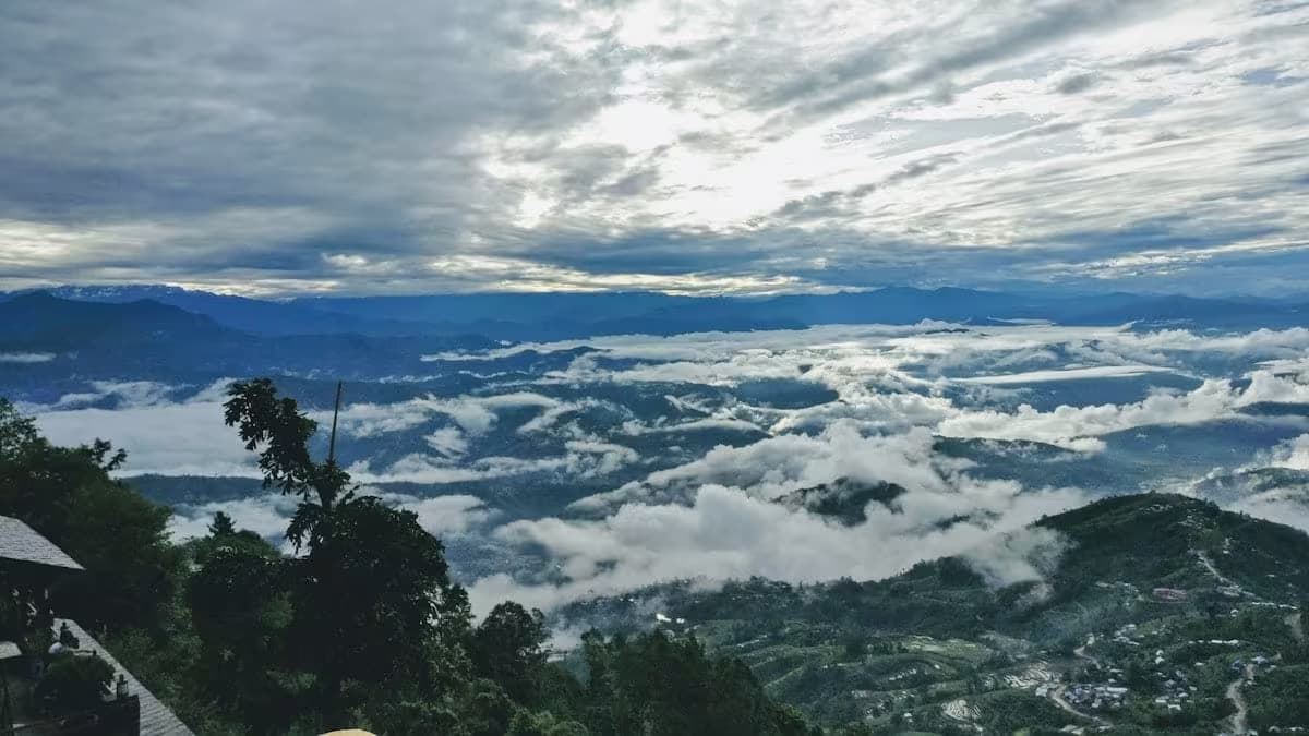
The walk everyone does is the climb south-east out of town to the Kali shrine, on the ridge above Gokhureshwar Mahadev — a stone stairway usually quoted at around a thousand steps. It takes 45 minutes to an hour up. From the top, on a clear morning, the panorama runs across Langtang, Ganesh Himal, Dorje Lakpa and Gaurishankar, and this is the main event: Dhulikhel's sunrise is the equal of Nagarkot's, from a town rather than a hotel strip.
Trailhead
Dhulikhel is where two of the valley's best day walks start or finish:
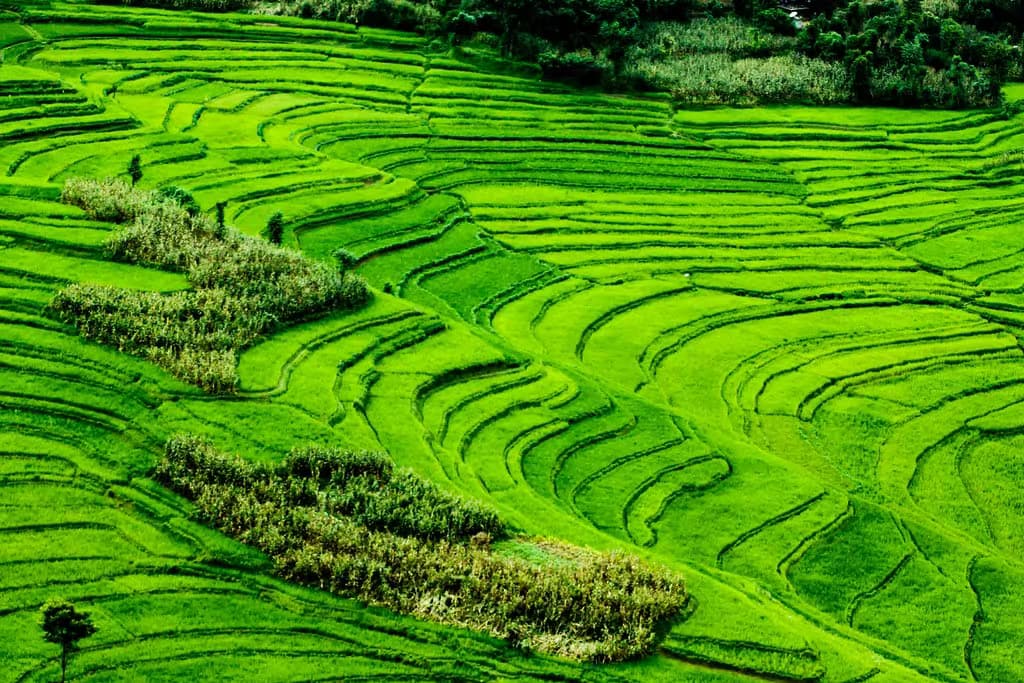
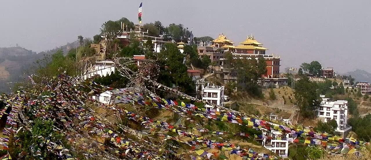
- Namo Buddha from Dhulikhel — an 18 km loop south through terraced farmland and Tamang villages to the Namo Buddha monastery, easy, six hours.
- Nagarkot to Dhulikhel — a 15 km ridge traverse that ends here, moderate, and one of the finest continuous-view walks near Kathmandu.
Panauti is a short ride south and Balthali is the quiet night beyond it, which makes a two- or three-day Kavre loop easy to assemble without repeating a road.
Staying
Unlike Banepa, Dhulikhel does have the beds — a long-established cluster of ridge resorts on the mountain-facing side plus guesthouses in town. Booking a north-facing room is the whole difference between the two experiences.
Getting there
Frequent buses and microbuses from Koteshwor and the Old Bus Park in Kathmandu, about 90 minutes. Everything eastbound on the Arniko Highway stops here; it is also the natural first stop on the B.P. Highway toward Bardibas.
When to go
Autumn and winter for the mountains — the whole point of the town is the view, and the view needs clear air. Spring is pleasant walking with haze that usually hides the peaks after mid-morning. The monsoon is green and empty and the Himalaya are gone, though the clearing after a night of rain can be the best sight of the year.
Getting there
Use Kathmandu as the nearest configured transport hub, then continue locally to Dhulikhel.
- KathmanduNearest configured hub
Routes to Kathmandu
- SimaratoKathmanduFlight0.3-0.4 hr
- PokharatoKathmanduFlight0.4-0.6 hr
- BharatpurtoKathmanduFlight0.4-0.5 hr
- JanakpurtoKathmanduFlight0.4-0.5 hr
- BhairahawatoKathmanduFlight0.5-0.75 hr
- BhadrapurtoKathmanduFlight0.6-0.85 hr
Kathmandu is the nearest transport hub we have route data for, not a verified gateway for Dhulikhel. The final stretch is local and we have not confirmed it.
Location & What's Inside
Gateway to
Starting point for these destinations
Connects to
Routes and trails that link here
Planning this trip? Local operators publishing trips here can arrange it.
Elsewhere in this region
Help us get it right
Know Dhulikhel better than we do?
We write from research and reporting, and the ground changes faster than we can keep up. If something here is out of date, or you have been and would tell it differently, we would rather hear it.