Nagarkot
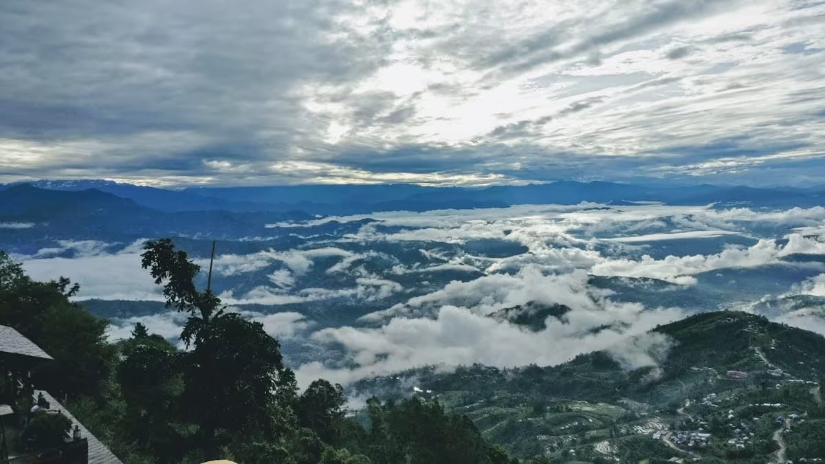
The classic Himalayan sunrise ridge above Kathmandu — an old hill fort turned hill station, with a panorama running from Dhaulagiri to Everest.
- Altitude
- 2,164 m
- Coordinates
- 27.715°, 85.517°
Current Weather
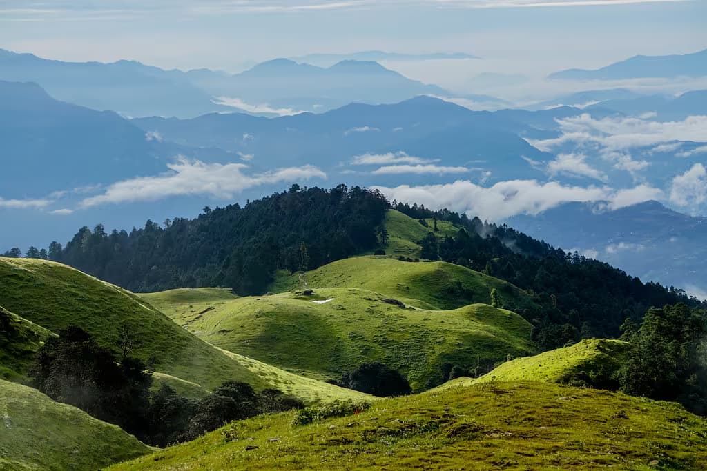
Nagarkot sits on the eastern rim of the Kathmandu Valley, a ridge-top village 32 kilometres from the capital that commands the broadest Himalayan panorama reachable by road from Kathmandu. On a clear morning the horizon runs some 300 kilometres — from Dhaulagiri in the far west, across the Annapurnas, Manaslu, Ganesh Himal, and Langtang Lirung, past Gaurishankar to a small but unmistakable Everest in the east. People have been climbing this ridge for the view, in one form or another, for a very long time.
A fort before it was a viewpoint
The name gives the older story away: kot means fort, and tradition reads Nagarkot as the serpent fort — nag — of the valley's eastern wall. The ridge belonged to the old kingdom of Bhaktapur, whose kings used it to watch the eastern approaches to the Valley; centuries later the Rana rulers made it a summer retreat from the heat below, and the Nepal Army still keeps a post on the ridge. The hotels came last. Nagarkot's whole history is the same act repeated — someone important looking out from this ridge — and the dawn crowd at the view tower is simply its newest garrison.
The sunrise
The ritual is fixed: wake in the dark, find an east-facing terrace or walk to the view tower at the ridge's highest point (2,164 m), and watch the peaks turn from grey to pink to gold as the light arrives. October through March brings the most reliable clarity — crisp air after the monsoon washes the haze out — while spring mornings are softer and summer views are a lottery. Be honest with your expectations: Everest from here is a distant triangle on the horizon that a guide will point out, not a wall filling the sky. What Nagarkot offers instead is breadth — more named eight-thousanders and seven-thousanders in one sweep than almost anywhere else you can reach by taxi.
Walks off the ridge
Nagarkot earns a second morning. The classic walk drops westward off the ridge through pine forest, millet terraces, and Tamang villages to Changu Narayan, the oldest temple in the Kathmandu Valley — three to four unhurried hours, downhill nearly all the way, ending at a UNESCO World Heritage shrine; from there it is a short ride on to Bhaktapur Durbar Square. Walkers with more ambition take the day-long ridge route east to Dhulikhel on the Nagarkot to Dhulikhel trail, or arrive in Nagarkot the long way round, off the valley-rim traverse from Sundarijal via Chisapani. A gentler panoramic loop trail circles the ridge itself for those who just want an hour among the trees.
Visiting
Stay the night — the entire point of Nagarkot is being on the ridge at dawn, and day-trippers from Kathmandu arrive after the show. Accommodation runs from simple lodges to view-obsessed resorts, nearly all of it strung along the ridge road facing the mountains. Bring a layer more than you think you need: the ridge is noticeably colder than Kathmandu, and the crisp winter air is exactly what makes Everest visible.
Getting there
Use Bhaktapur as the nearest configured transport hub, then continue locally to Nagarkot.
- BhaktapurNearest configured hub
Routes to Bhaktapur
- KathmandutoBhaktapurPrivate car0.7-1.5 hr
Bhaktapur is the nearest transport hub we have route data for, not a verified gateway for Nagarkot. The final stretch is local and we have not confirmed it.
Location & What's Inside
Related
Connected places and entries worth pairing
Trips that visit here
Elsewhere in this region

Help us get it right
Know Nagarkot better than we do?
We write from research and reporting, and the ground changes faster than we can keep up. If something here is out of date, or you have been and would tell it differently, we would rather hear it.