Everest Three Passes Trek
A 170 km Khumbu loop over three passes above 5,300 m — Renjo La, Cho La and Kongma La — taking in Everest Base Camp and the Gokyo Lakes.
Know before you go
Trip readiness
Best timing
October-November, April-May
Treat this as the first planning window, then verify local trail and weather conditions.
Time needed
20 days
Include acclimatization and transport buffers for mountain routes.
Permit status
Permit required
Sagarmatha National Park permit (NPR 3,000), Khumbu Rural Municipality fee (NPR 2,000), TIMS card
Difficulty
Strenuous
Everest route. Match this to fitness, altitude experience, and daily walking hours.
Live conditions
Trail weather available
Use the weather card before starting, especially during monsoon and winter windows.
The Everest Three Passes trek is the complete Khumbu: a 170 km loop that strings together the three high crossings — Renjo La (5,360 m), Cho La (5,420 m) and Kongma La (5,535 m) — and runs the length of Sagarmatha National Park, absorbing both Everest Base Camp and the Gokyo Lakes along the way. It is not a harder version of the Base Camp trek. It is a different order of undertaking, and it is the strongest walking itinerary in Nepal.
Quick answer
Seventeen days of walking from Lukla back to Lukla, plus the Kathmandu flights at both ends and the spare day the Lukla weather will eventually claim — about 20 days door to door. Go in October–November or April–May. Permits are a Sagarmatha National Park entry permit (NPR 3,000) and a Khumbu Rural Municipality fee (NPR 2,000), roughly USD 55 with the TIMS card. You need previous high-altitude experience, real fitness, and — on the passes, in snow — crampons and someone who knows how to use them.
The route, day by day
| Day | Stage | Sleep at | Altitude | Hours |
|---|---|---|---|---|
| 1 | Lukla → Phakding | Phakding | 2,610 m | 3–4 |
| 2 | Phakding → Namche Bazaar | Namche Bazaar | 3,440 m | 6–7 |
| 3 | Acclimatization day | Namche Bazaar | 3,440 m | — |
| 4 | Namche Bazaar → Thame | Thame | 3,800 m | 5–6 |
| 5 | Thame → Lungden | Lungden | 4,380 m | 5–6 |
| 6 | Lungden → Gokyo | Gokyo | 4,790 m | 7–9 |
| 7 | Acclimatization day | Gokyo | 4,790 m | — |
| 8 | Gokyo → Dragnag | Dragnag | 4,700 m | 4–5 |
| 9 | Dragnag → Dzongla | Dzongla | 4,830 m | 7–9 |
| 10 | Dzongla → Lobuche | Lobuche | 4,940 m | 2–3 |
| 11 | Lobuche → Gorak Shep | Gorak Shep | 5,164 m | 6–8 |
| 12 | Gorak Shep → Lobuche | Lobuche | 4,940 m | 6–7 |
| 13 | Lobuche → Chhukung | Chhukung | 4,730 m | 8–10 |
| 14 | Chhukung → Tengboche | Tengboche | 3,860 m | 6–7 |
| 15 | Tengboche → Namche Bazaar | Namche Bazaar | 3,440 m | 5–6 |
| 16 | Namche Bazaar → Lukla | Lukla | 2,860 m | 6–7 |
| 17 | Spare day | Lukla | 2,860 m | — |
Read the altitude column rather than the hours. The loop sleeps above 4,700 m for six consecutive nights, tops out at Gorak Shep (5,164 m), and crosses 5,300 m or higher on four separate days. That is the trek's actual difficulty, and it is why the two acclimatization stops early on are not padding.
Why counter-clockwise
The itinerary above goes west first — up the Bhote Kosi to Thame and Lungden, over Renjo La into Gokyo — and this is the order almost every experienced party uses.
The reason is acclimatization. Going west, you climb gradually to 4,380 m at Lungden over five days before crossing your first pass, and Renjo La is the gentlest of the three from that side. Clockwise, you would meet Kongma La — the highest pass, and the one with the most awkward glacial-moraine ground — as your first crossing, on far less acclimatization. The counter-clockwise loop also saves the Everest Base Camp and Kala Patthar section for the end, when you are fully acclimatized and can enjoy it.
The three passes
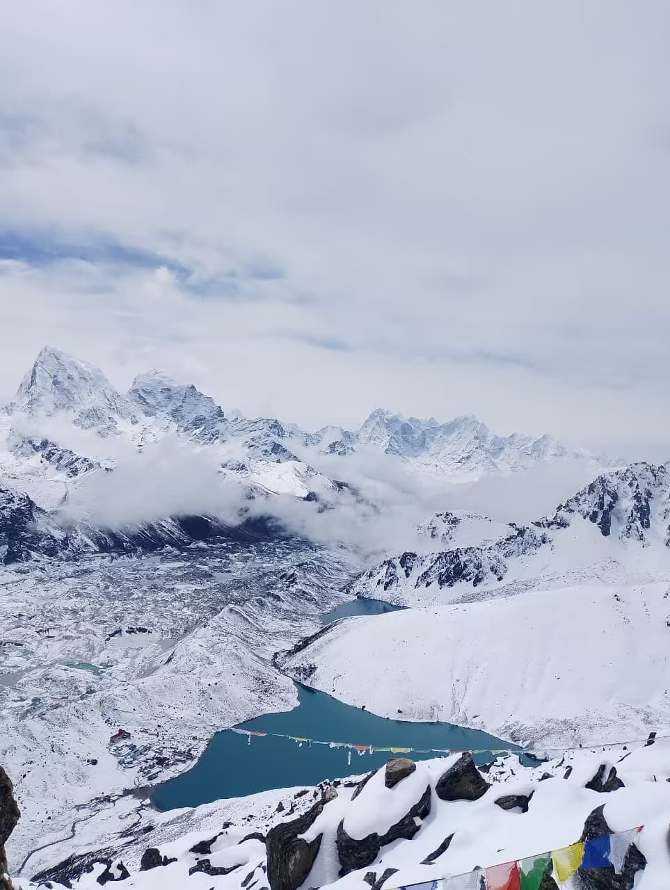
Renjo La, 5,360 m (day 6). The most straightforward of the three and the most beautiful. A steady stone-staircase climb from Lungden, and a summit view straight down the Gokyo valley to Everest, Lhotse and Makalu. Descend to the turquoise lakes.
Cho La, 5,420 m (day 9). The technical one. The eastern approach is steep, holds ice well into the season, and involves a short glacier crossing near the top. Crampons are frequently needed. Start early; the ground softens badly by afternoon.
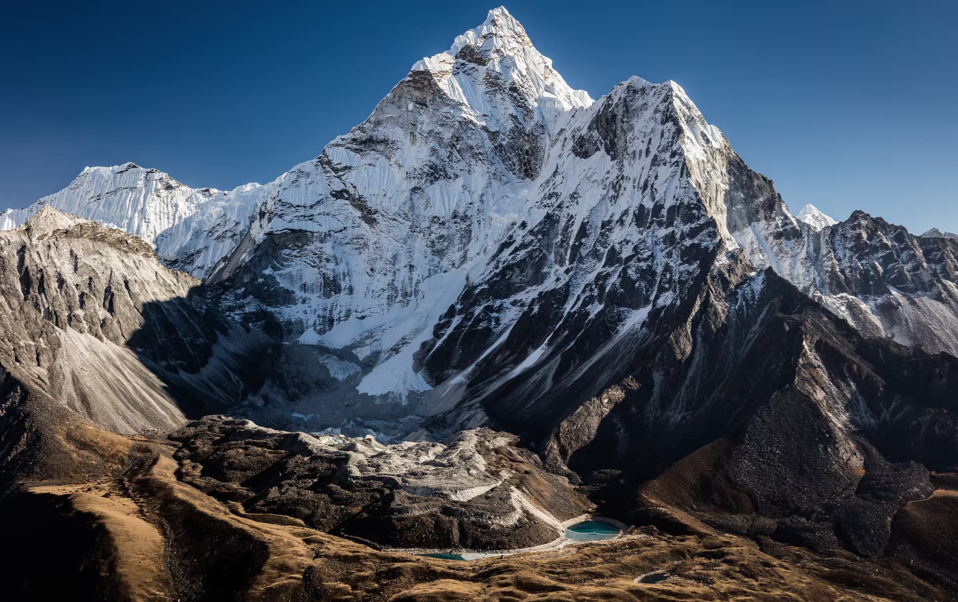
Kongma La, 5,535 m (day 13). The highest and the longest — eight to ten hours from Lobuche across boulder fields and glacial moraine to Chhukung, with Ama Dablam and Island Peak filling the view. It comes late in the trek, which is both an advantage (you are acclimatized) and a trap (you are tired).
What the loop collects
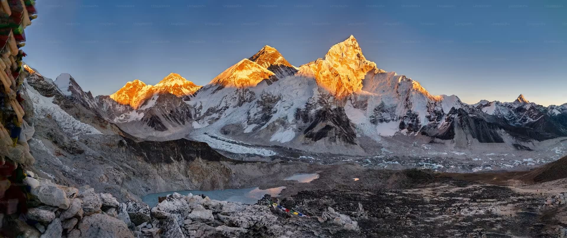
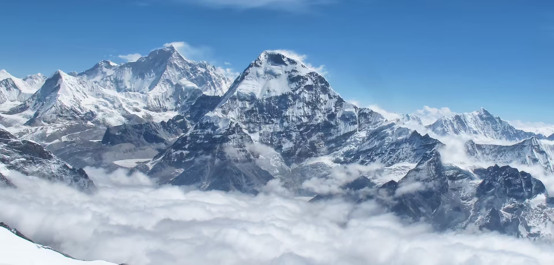
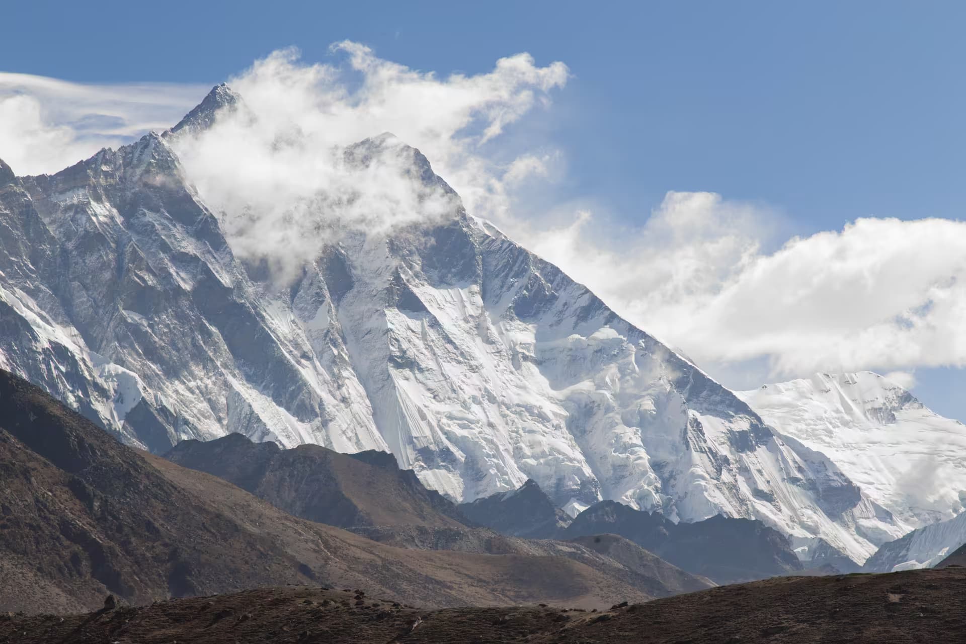
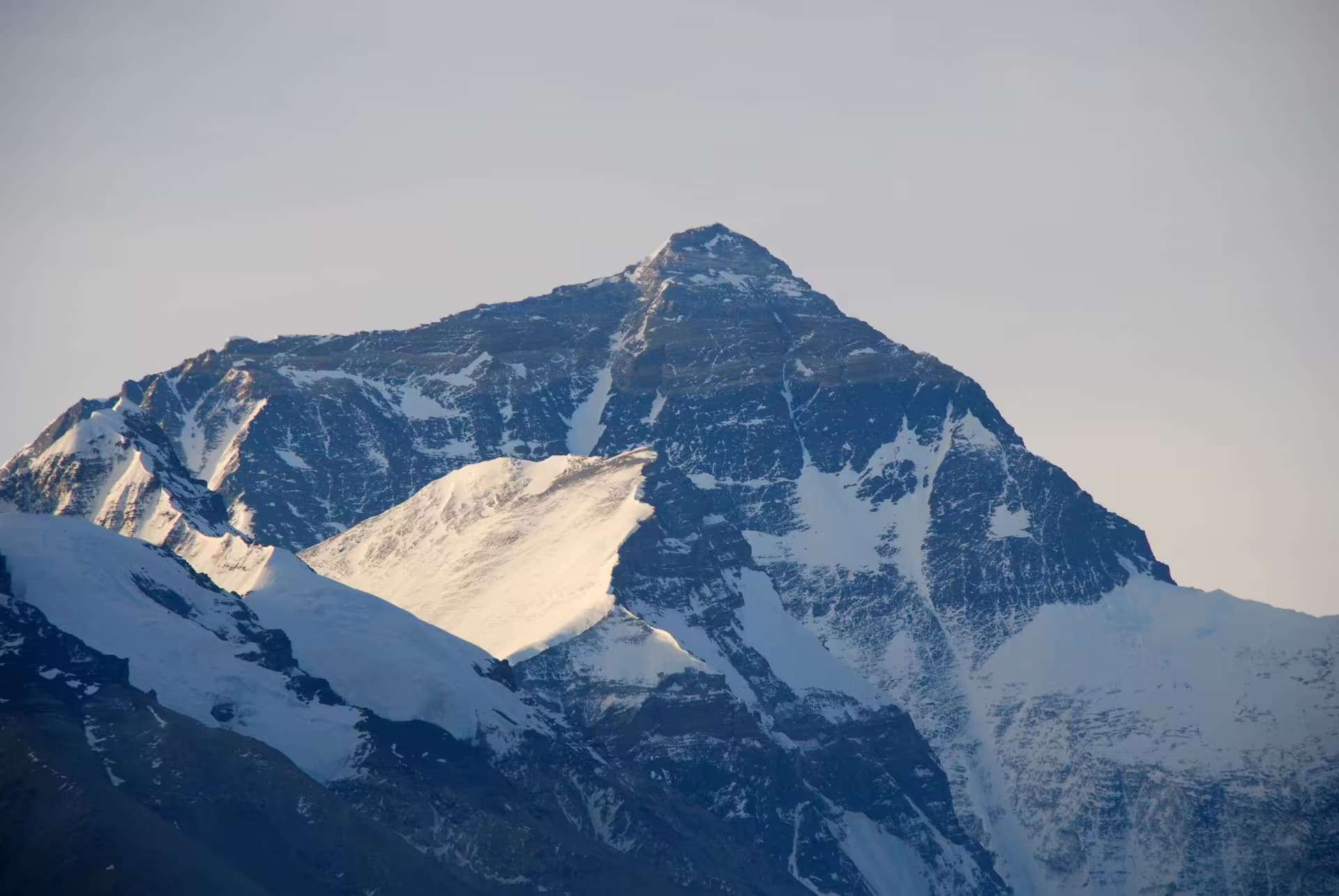
Four of the world's six highest mountains are visible from the route: Everest, Lhotse, Makalu and Cho Oyu. So are Nuptse, Pumori, Ama Dablam and Lobuche East. Beyond the summits it takes in the Ngozumpa Glacier — Nepal's longest, crossed on foot on day 8 — the Gokyo Lakes, the Gokyo Ri panorama at 5,357 m, Everest Base Camp on the Khumbu Glacier, Kala Patthar at 5,644 m, and Tengboche Monastery on the way down. Thame, on day 4, is Tenzing Norgay's birthplace and holds one of the oldest monasteries in the Khumbu.
Do not underestimate the Lukla flights
The single most common way this trek goes wrong is not a pass. It is the flight. Lukla's runway sits in a corridor that closes for morning cloud without much notice, and a lost day at either end cascades through a 17-day schedule that has no other slack. Day 17 above is a spare day for exactly this reason, and it is the last thing you should cut. Many parties now fly from Ramechhap rather than Kathmandu in the peak seasons, which adds a pre-dawn road transfer.
Should you do this or Base Camp?
If you have not been above 5,000 m before, do Everest Base Camp — twelve to fourteen days, the same mountains, none of the pass exposure. If you have, and you have three clear weeks, the Three Passes is not a marginal upgrade on it; it is the trek Base Camp is a fragment of. Gokyo Lakes on its own is the middle option and the quietest of the three.
Everest vs Annapurna compares the two regions, and our Everest Base Camp tips cover the flight, the teahouses and the altitude rules that apply to all three itineraries.
Practical notes
Teahouses run the whole loop, including Lungden, Dragnag and Dzongla, though the pass-side lodges are small and basic and fill fast in October. Carry a sleeping bag rated well below freezing. Take a guide — this is a route where the recommendation is not a formality, because Cho La and Kongma La are genuinely route-finding problems in fresh snow and both are hours from help.
Permit rules in the Khumbu have changed more than once in recent years, including which cards are issued where. Treat the figures above as the planning baseline and confirm the current requirement before you fly.
Field log · Day by day
The route, walked
- Stages
- 17
- Ascent
- +5,646 m
- Descent
- −5,646 m
- Day01
Lukla→Phakding
lightOvernightPhakding- Walking
- 3.0–4.0h
- Descent
- −250 m
Fly to Lukla and begin the gentle walk into the Dudh Kosi valley.
- Day02
Phakding→Namche Bazaar
hardOvernightNamche Bazaar- Walking
- 6.0–7.0h
- Ascent
- +830 m
Enter Sagarmatha National Park and climb to Namche Bazaar (3,440m), the Sherpa capital.
- Day03
Namche Bazaar→Namche Bazaar
AcclimatizationOvernightNamche BazaarAcclimatization day in Namche. Day hike to Everest View Hotel or Khumjung village.
- Day04
Namche Bazaar→Thame
moderateOvernightThame- Walking
- 5.0–6.0h
- Ascent
- +360 m
Leave the main EBC trail and head west up the Bhote Kosi valley toward Thame, birthplace of Tenzing Norgay and home to a historic monastery.
- Day05
Thame→Lungden
moderateOvernightLungden- Walking
- 5.0–6.0h
- Ascent
- +580 m
Continue up the Bhote Kosi toward the Tibetan border. Reach Lungden, the base for the Renjo La crossing.
- Day06
Lungden→Gokyo
cruxOvernightGokyo- Walking
- 7.0–9.0h
- Ascent
- +980 m
- Descent
- −570 m
Cross Renjo La (5,360m), the first of three passes. Spectacular views of Everest, Lhotse, and Makalu from the top. Descend to the turquoise Gokyo Lakes.
- Day07
Gokyo→Gokyo
AcclimatizationOvernightGokyo- Ascent
- +567 m
- Descent
- −567 m
Pre-dawn ascent of Gokyo Ri (5,357m) for the classic panorama of Everest, Cho Oyu, and the Ngozumpa Glacier — one of the best viewpoints in the Khumbu. Afternoon rest.
- Day08
Gokyo→Dragnag
moderateOvernightDragnag- Walking
- 4.0–5.0h
- Descent
- −90 m
Cross the Ngozumpa Glacier, the longest glacier in Nepal. Reach Dragnag at the foot of the Cho La pass.
- Day09
Dragnag→Dzongla
cruxOvernightDzongla- Walking
- 7.0–9.0h
- Ascent
- +720 m
- Descent
- −590 m
Cross Cho La (5,420m), the second pass. Steep icy climb on the east side; crampons may be needed in snow conditions. Descend to Dzongla.
- Day10
Dzongla→Lobuche
lightOvernightLobuche- Walking
- 2.0–3.0h
- Ascent
- +110 m
Short stage rejoining the main Everest Base Camp trail at Lobuche. Rest in the afternoon before the push up the Khumbu Glacier.
- Day11
Lobuche→Gorak Shep
hardOvernightGorak Shep- Walking
- 6.0–8.0h
- Ascent
- +424 m
- Descent
- −200 m
Walk the glacial moraine to Gorak Shep, then continue to Everest Base Camp on the Khumbu Glacier in the afternoon.
- Day12
Gorak Shep→Lobuche
moderateOvernightLobuche- Walking
- 6.0–7.0h
- Ascent
- +480 m
- Descent
- −704 m
Pre-dawn ascent of Kala Patthar (5,644m) for the closest Everest view. Descend and walk back to Lobuche.
- Day13
Lobuche→Chhukung
cruxOvernightChhukung- Walking
- 8.0–10.0h
- Ascent
- +595 m
- Descent
- −805 m
Cross Kongma La (5,535m), the third and highest pass. Challenging route across glacial moraine with views of Ama Dablam and Island Peak. Long descent to Chhukung.
- Day14
Chhukung→Tengboche
moderateOvernightTengboche- Walking
- 6.0–7.0h
- Descent
- −870 m
Descend through Dingboche and Pangboche to Tengboche. Visit the famous monastery with Ama Dablam as backdrop.
- Day15
Tengboche→Namche Bazaar
moderateOvernightNamche Bazaar- Walking
- 5.0–6.0h
- Descent
- −420 m
Descend through the Khumbu valley back to Namche Bazaar for a well-earned rest.
- Day16
Namche Bazaar→Lukla
moderateOvernightLukla- Walking
- 6.0–7.0h
- Descent
- −580 m
Final day of walking down the Dudh Kosi valley to Lukla.
- Day17
Lukla→Lukla
Rest dayOvernightLuklaSpare day for the Lukla flight corridor — flights are frequently delayed by morning cloud.
- End
Elevation profile
Cumulative elevation across 17 days, derived from per-stage gain/loss.
Peak Gorak Shep · 5164m · low 2610m
Part of
Sagarmatha National Park
Connects to
Routes and trails that link here
views
Planning this trek? Local operators publishing trips here can arrange it.
Elsewhere in this region
Help us get it right
Know Everest Three Passes Trek better than we do?
We write from research and reporting, and the ground changes faster than we can keep up. If something here is out of date, or you have been and would tell it differently, we would rather hear it.