Sankhu
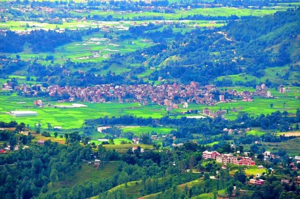
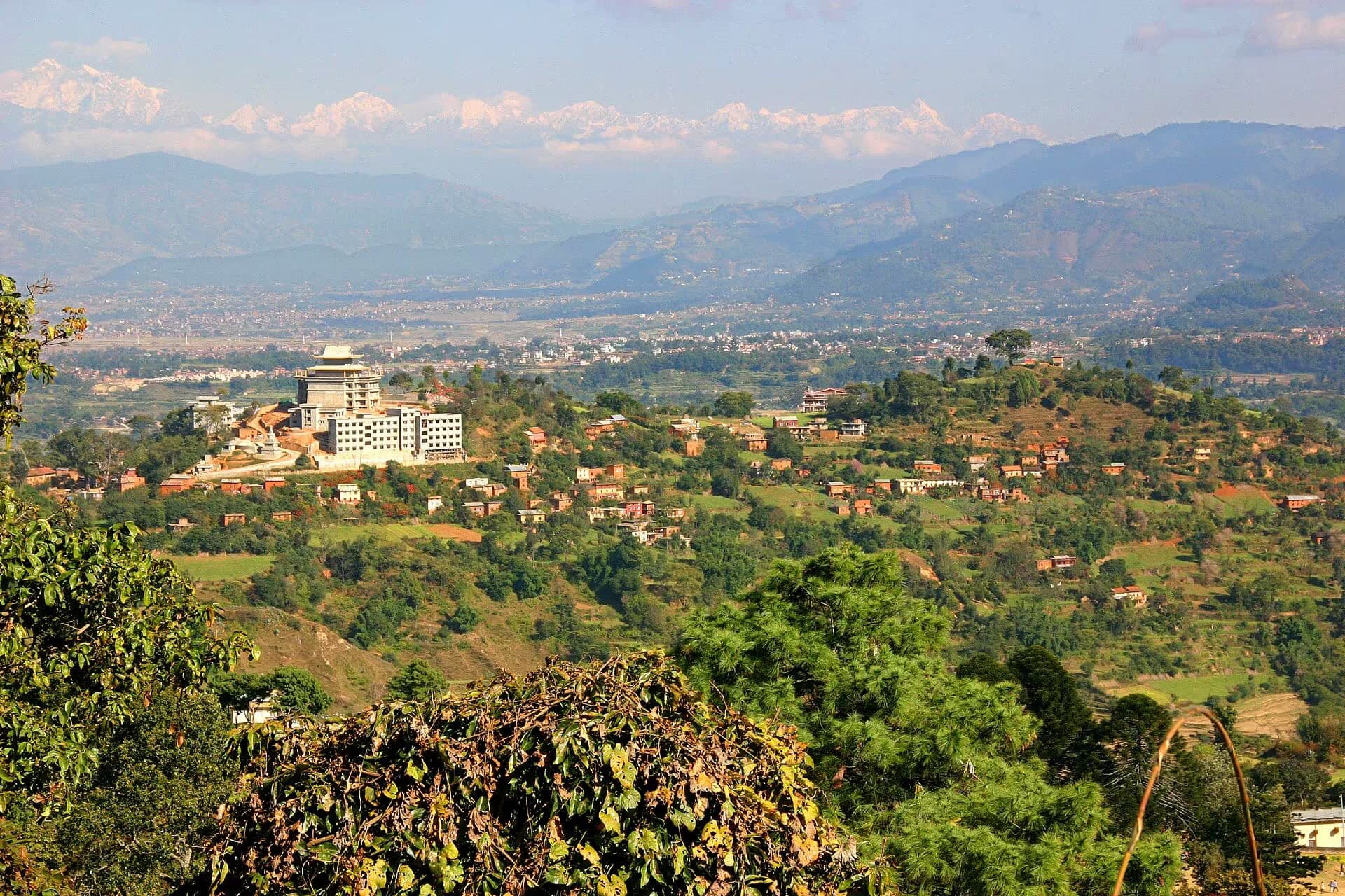
One of the Kathmandu Valley's oldest Newar trading towns, perched at the valley's northeast edge with an ancient bazaar street, the sacred Vajrayogini temple on the hill above, and the Salinadi cremation ghats along the river.
- Altitude
- 1,370 m
- Coordinates
- 27.738°, 85.462°
Current Weather
Sankhu is among the most ancient settlements in the Kathmandu Valley, its origins predating even the Licchavi period (4th–9th century AD). Situated at the valley's northeastern rim where the hills begin to rise toward the Helambu region, Sankhu was historically a prosperous trading post on the Tibet trade route. The town's main bazaar street — a single brick-paved lane lined with traditional Newar houses — retains a timeworn grandeur that speaks to centuries of merchant wealth.
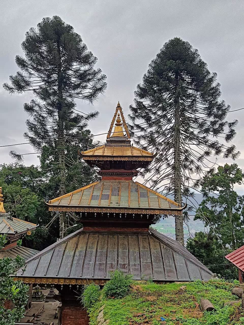
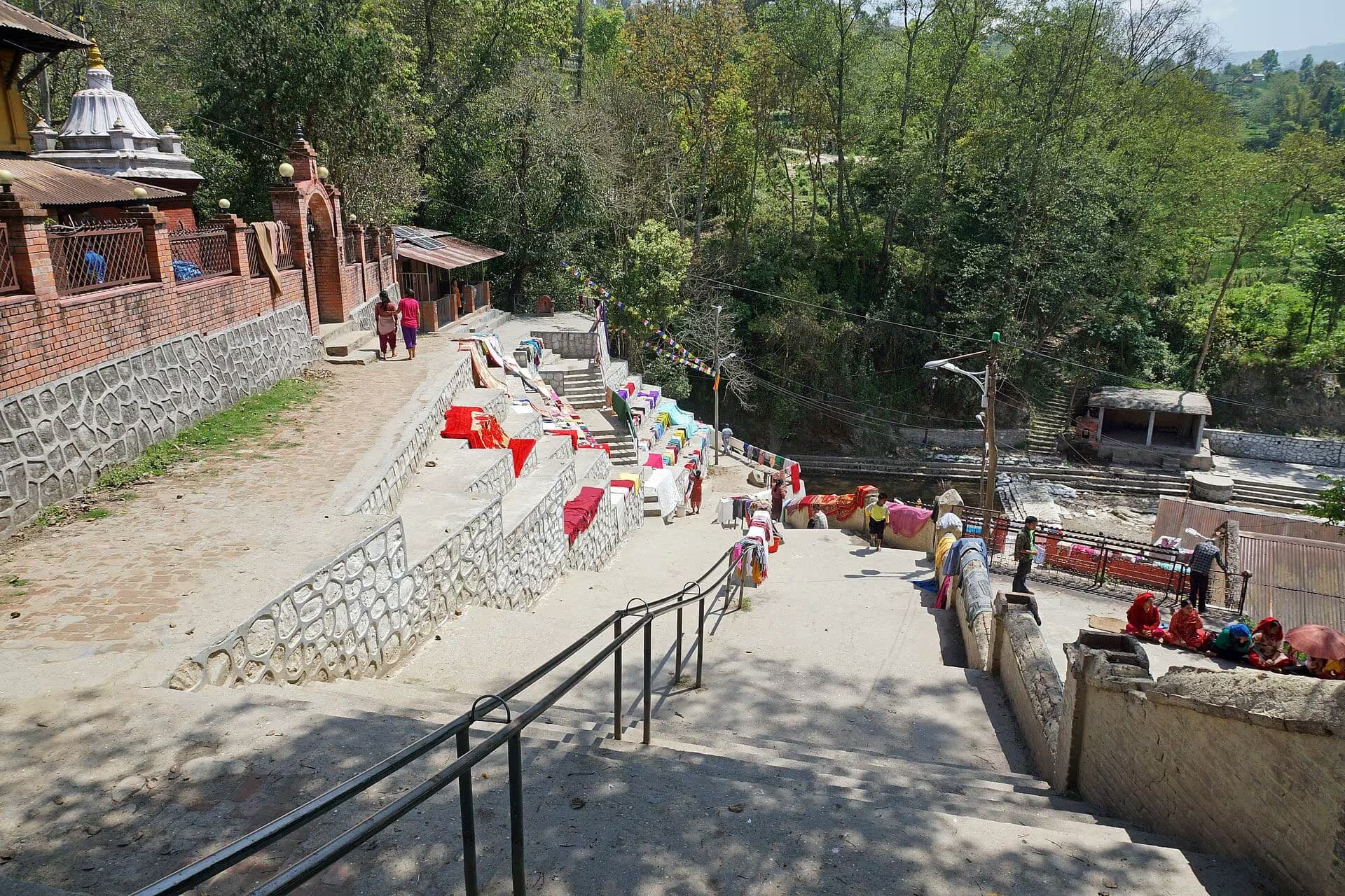
Above the town, a steep forested path leads to the Vajrayogini Temple, one of the four principal Vajrayogini shrines in the valley and a site of deep significance for both Hindu and Vajrayana Buddhist practitioners. The temple complex, set among ancient trees on a hillside, contains exquisite stone carvings and metalwork dating to the Licchavi era. Nearby, the Salinadi ghats along the small river below Sankhu serve as cremation grounds — a quieter, more intimate equivalent of Kathmandu's Pashupatinath.
The 2015 earthquake devastated much of Sankhu's historic core, collapsing many traditional houses and damaging the Vajrayogini temple. Reconstruction is ongoing but slow, and the town today presents a poignant mix of resilient heritage and visible damage. Visiting Sankhu offers a chance to see an authentic Newar town far from tourist crowds. It is reachable in about 45 minutes from central Kathmandu by local bus or taxi. Allow half a day to explore the bazaar, climb to Vajrayogini, and walk along the Salinadi.
Pilgrimage context
Sacred timing and nearby worship
Vajrayogini Temple
Sankhu is the gateway town for the Vajrayogini pilgrim climb
Vajrayogini Temple
Tantric goddess temple on the hillside above Sankhu
Salinadi
Salinadi ghats add Hindu pilgrimage context to the Sankhu visit
Salinadi
Sacred cremation ghats and Licchavi sculptures along the Sali River
Bajrayogini Jatra
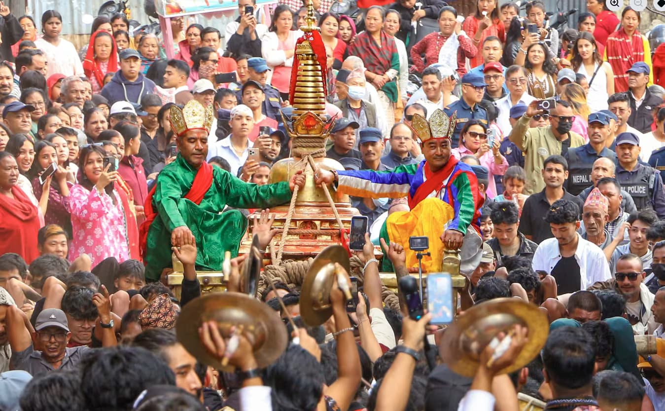
Bajrayogini Jatra is Sankhu's major annual festival around the Vajrayogini temple

Swasthani Brata Katha
Swasthani Brata Katha brings Salinadi bathing and month-long pilgrimage activity to Sankhu
Location & What's Inside
Connects to
Routes and trails that link here
Planning this trip? Local operators publishing trips here can arrange it.
Elsewhere in this region
Help us get it right
Know Sankhu better than we do?
We write from research and reporting, and the ground changes faster than we can keep up. If something here is out of date, or you have been and would tell it differently, we would rather hear it.