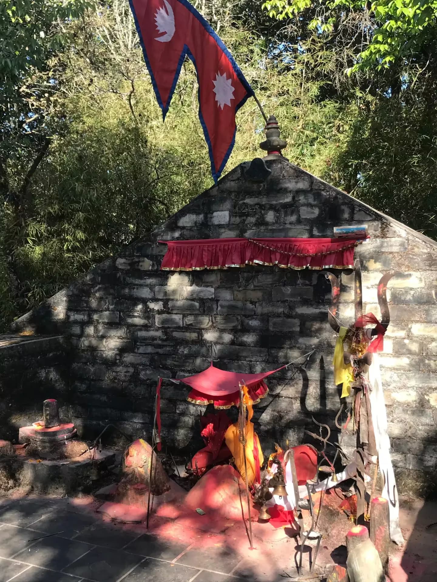
Kathmandu Valley
A ring of forested hills around the Kathmandu Valley — Shivapuri, Nagarjun, Champadevi, Phulchoki, Chandragiri, Kakani, and beyond. Short cultural walks and half-day ridge climbs within an hour of Thamel.
- Areas
- 6
- Trails
- 16
- Altitude
- 1,330–2,762m
- Span
- 1–3 days
The Kathmandu Valley sits in a bowl surrounded by hills ranging from 1,500m to 2,762m. Every direction from the city offers a rewarding walk — the Shivapuri-Nagarjun forest to the north, Champadevi and Phulchoki guarding the south, Chandragiri and Kakani on the northwest, and the Nagarkot–Dhulikhel ridge on the east. Added to these are the cultural and pilgrim walks inside the valley: Swayambhunath, Vajrayogini at Sankhu, Kathmandu Durbar Square. All are reachable as day trips from central Kathmandu without flights, jeeps, or permits heavier than a national-park entry.
Explore by area
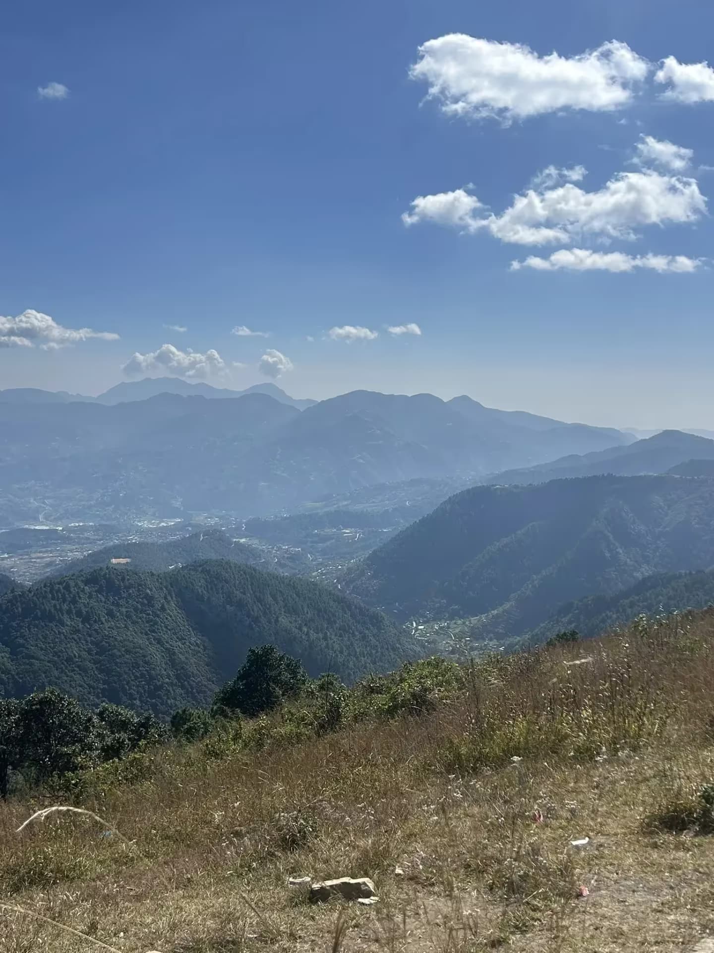
Conservation areaChampadevi
The sharp forested hill guarding the southwestern corner of the Kathmandu Valley — shrine on top, ridge walks in every direction.
 Conservation area
Chandragiri & Northwest Rim
The quieter northwestern wall of the Kathmandu Valley — Chandragiri, Kakani, and Suryachaur with open Ganesh Himal views.
 Conservation area
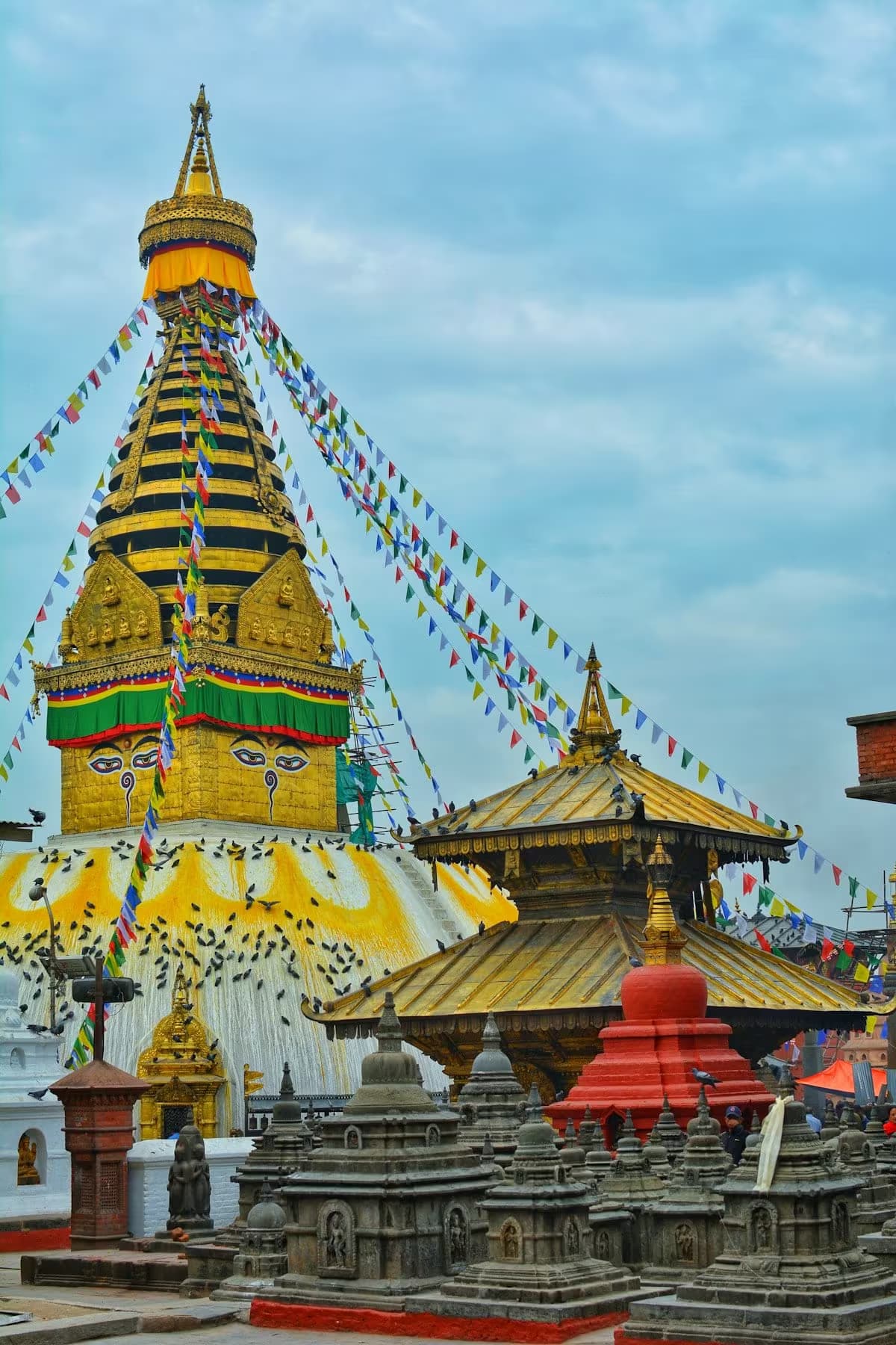
Kathmandu Cultural Walks
Short religious and heritage walks inside the Kathmandu Valley — stupa climbs, pilgrim routes, and old-city temple circuits reachable without leaving the city.
 Conservation area
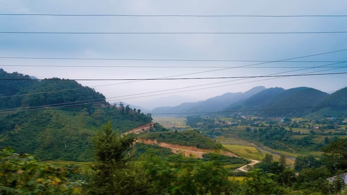
Kathmandu Valley Rim
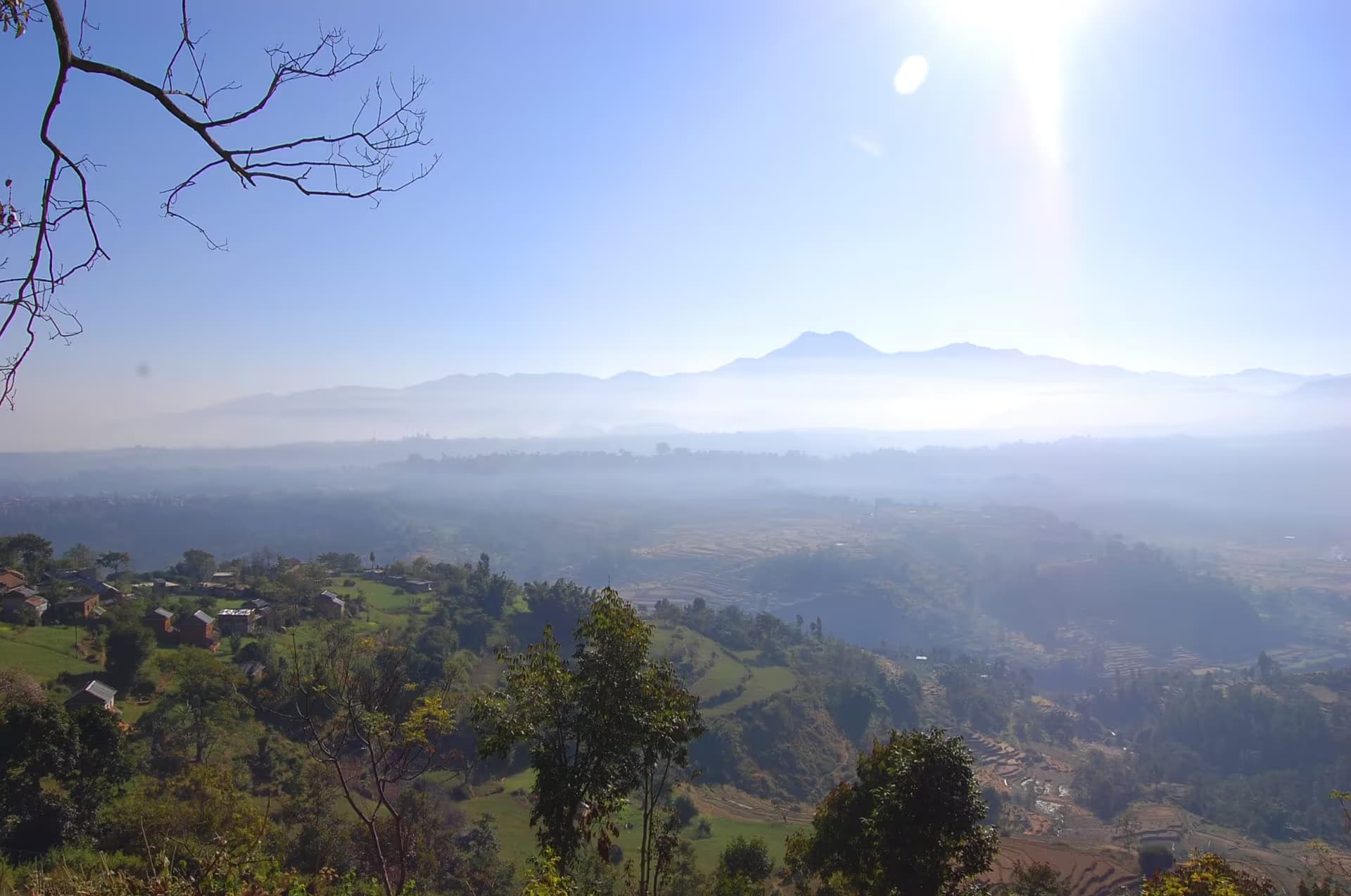
A ring of forested hills encircling the capital — offering day hikes with Himalayan panoramas, ancient temples, and escape from the city below.
 Conservation area
Phulchoki
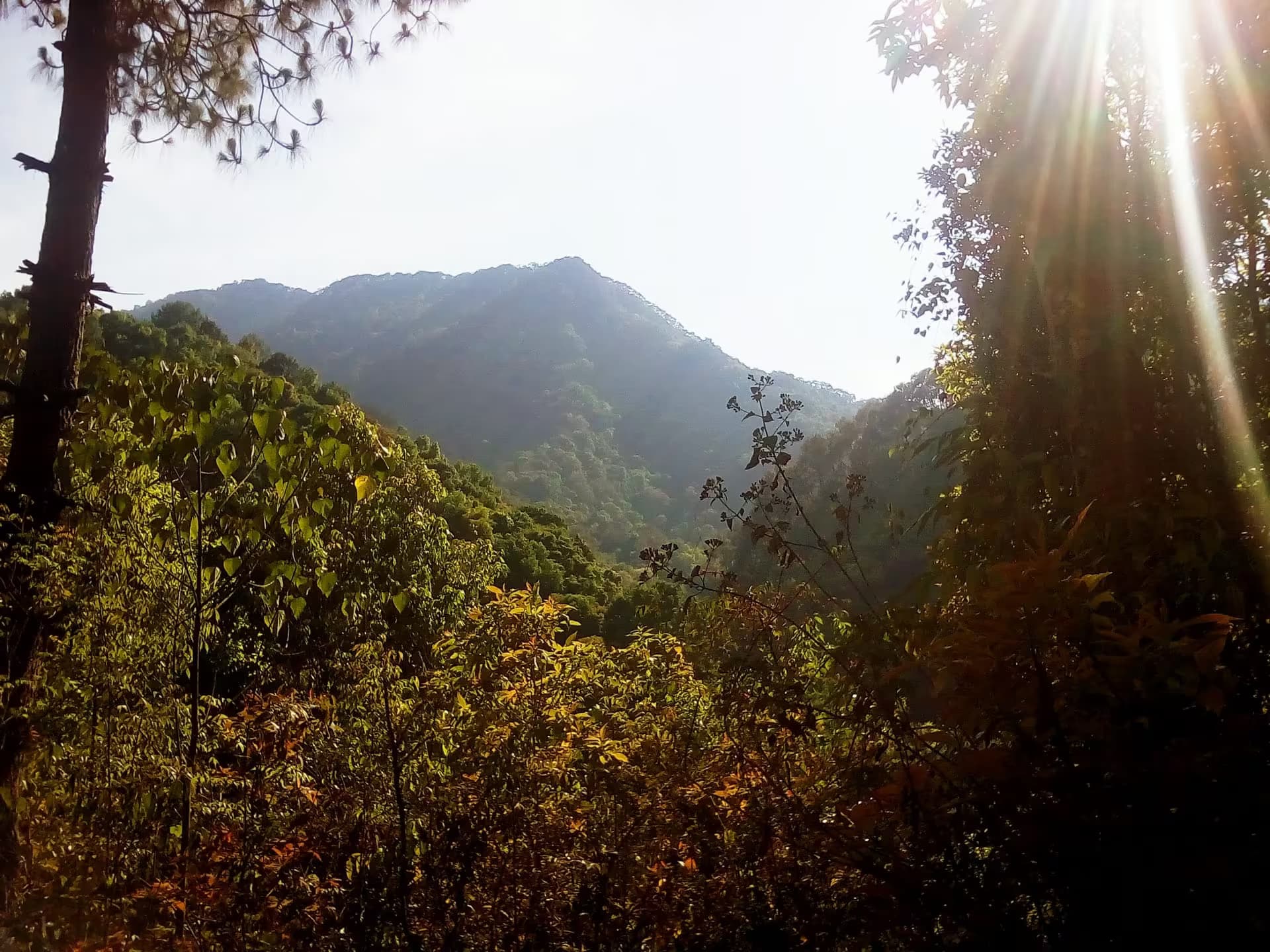
The highest hill on the valley rim at 2,762m — rhododendron forest, over 265 bird species, and a steep-sided southern wall of Kathmandu.
 Conservation area
Shivapuri Nagarjun National Park
A protected forest wilderness on Kathmandu's doorstep — home to over 300 bird species, the source of the Bagmati River, and the valley's highest viewpoint.