It is a study, not a build
Over Rs 41 million is allocated to determine whether the disconnected segments can be expanded and merged into a two-lane highway. The goal is to upgrade existing one-way tracks and open new ones where they do not exist.
Proposed / feasibility study stage
पूर्व-पश्चिम पर्यटकीय हिमाली राजमार्ग
Nepal wants a two-lane tourist road running the length of its mountain belt, from Api Nampa in Darchula to Pathibhara in Taplejung — a corridor the Prime Minister argues should outshine the Swiss Alps. Today most of that line is dirt track, trekking trail, or nothing at all. Here is what it would connect, what already exists at each stop, and how you actually get there now.
16
Mountain districts
Rs 41m+
E-W feasibility study
Rs 163m+
N-S study & upgrade
None
Under construction
Where this comes from
Figures and route names on this page come from a single published report, and the Ministry of Infrastructure Development has budgeted only for feasibility studies. Nothing here is under construction. Treat it as a stated intention, not a schedule.
Clickmandu, 15 June 2026Corridor map
All 9 stops the report places on the corridor, numbered west to east to match the sequence below.
The argument
“While the world raves about the meadows of Switzerland and the mountains of Europe, the natural splendour of places like Badimalika in Bajura remains unrivalled yet unexplored.”
Prime Minister Balen Shah, campaigning in Dhangadhi, as reported by Clickmandu. His case is that Nepal is naturally wealthier than Europe, and that Pathibhara in the east and Khaptad in the west stay obscure for want of access rather than want of beauty.
The corridor, west to east
Six of these are hubs the report names as link targets. Three more appear only on its route graphic. Read left to right — Darchula to Taplejung.
Darchula / Sudurpaschim
Western terminus in the report's list of hubs the network would link.
Open page
Bajhang / Sudurpaschim
A 7,031 m peak with no road approach; the report names it as a hub.
Open page
Bajura / Sudurpaschim
The Prime Minister's headline comparison to the meadows of Switzerland. On the report's map, and the only station reached solely on foot.
Open page
Mugu / Karnali
Nepal's largest lake, and the only Karnali hub the report names.
Open page
Mustang / Gandaki
The one confirmed paved section: the report says Kagbeni to Muktinath is already sealed road.
Open page
Rasuwa / Bagmati
On the report's map, inside Langtang — one of the two national parks the report calls environmentally sensitive.
Open page
Dolakha / Bagmati
On the report's map. The one station on it that is already a mass-market destination — Kathmandu's winter snow trip.
Open page
Solukhumbu / Koshi
Named as a hub. Today the way in is the Tenzing-Hillary airstrip or a multi-day walk.
No page yet
Taplejung / Koshi
The eastern end of the corridor as described — the network would 'eventually reach' here.
Open page
The order shown follows the report's own west-to-east description. It is not a surveyed alignment — no alignment has been published, and the study is meant to determine one.
Access today
Only what the report states. It gives five specific conditions and one aggregate for everything else — there is no published district-by-district survey, so there is no such table here.
Plan real transport insteadKagbeni – Muktinath, Mustang
The only stretch the report describes as already enjoying paved road.
Much of Sudurpaschim and Karnali
Many areas are currently only accessible on foot, requiring days of trekking.
Thorong La, Manang
The central sections involve crossing passes such as Thorong La, at over 5,400 m.
Langtang and Makalu Barun national parks
Described as environmentally sensitive and geographically daunting.
The remainder of the proposed route
Rugged dirt tracks or narrow trekking trails, with many sections lacking any road access whatsoever. The report states this in aggregate, not district by district.
How you reach it now
Until a road exists, these are the real entry points to the sixteen mountain districts — west to east, then jeep, bus, or foot.
Gateway for far-west Nepal including Shuklaphanta National Park (Kanchanpur) and Api Nampa Conservation Area (Darchula). Also a staging point for Khaptad National Park.
Only air access to Rara Lake (Mugu district). Served from Nepalgunj by small STOL aircraft on a limited, weather-dependent schedule. Allow at least 2 buffer days in each direction.
Gateway for treks in the Karnali region and an alternative approach to Rara Lake.
Only air access to the Dolpo region and Shey Phoksundo National Park. Served from Nepalgunj by Twin Otter; highly weather-sensitive. Expect delays and plan 2+ buffer days.
Mountain airport in the Kali Gandaki valley; morning weather windows are important.
Alternative gateway for the Everest region; lower elevation and often better weather than Lukla. Popular for those wanting to trek through the 'Lower Khumbu'.
Short takeoff and landing airport serving the Everest region; flights are highly weather-sensitive.
Primary air entry point for Makalu-Barun National Park trekking and the eastern Kanchenjunga approach. Weather-sensitive STOL strip; build at least one buffer day.
Eastern Nepal airport at Bhadrapur/Jhapa; useful for Ilam, Pathibhara, and Kanchenjunga approaches.
Already documented
Places, peaks, and walking routes we already cover in the same sixteen districts. None of these are official corridor stops.
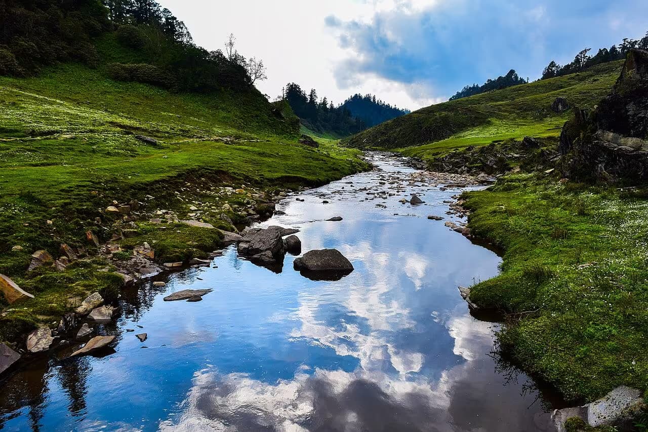
Doti
A mystical highland plateau in far-western Nepal with rolling grasslands, ancient forests, and the spiritual hermitage of Khaptad Baba — Nepal's most remote national park.
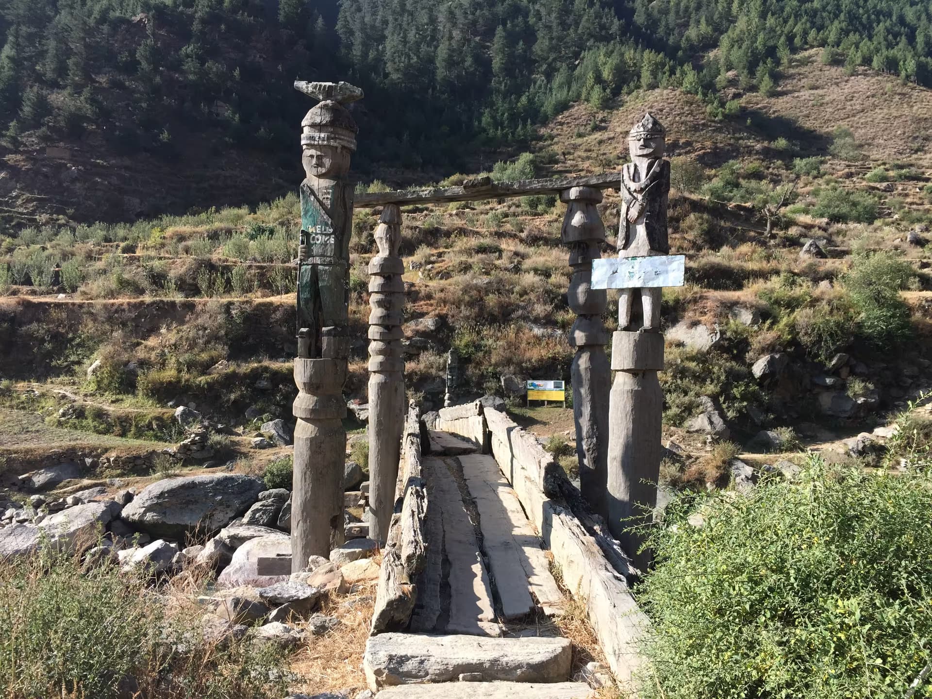
Jumla
The 12th-century Khas Malla capital in Jumla district and the birthplace of the Nepali language — stone inscriptions, palace ruins and the Kanaka Sundari temple, on Nepal's UNESCO tentative list.
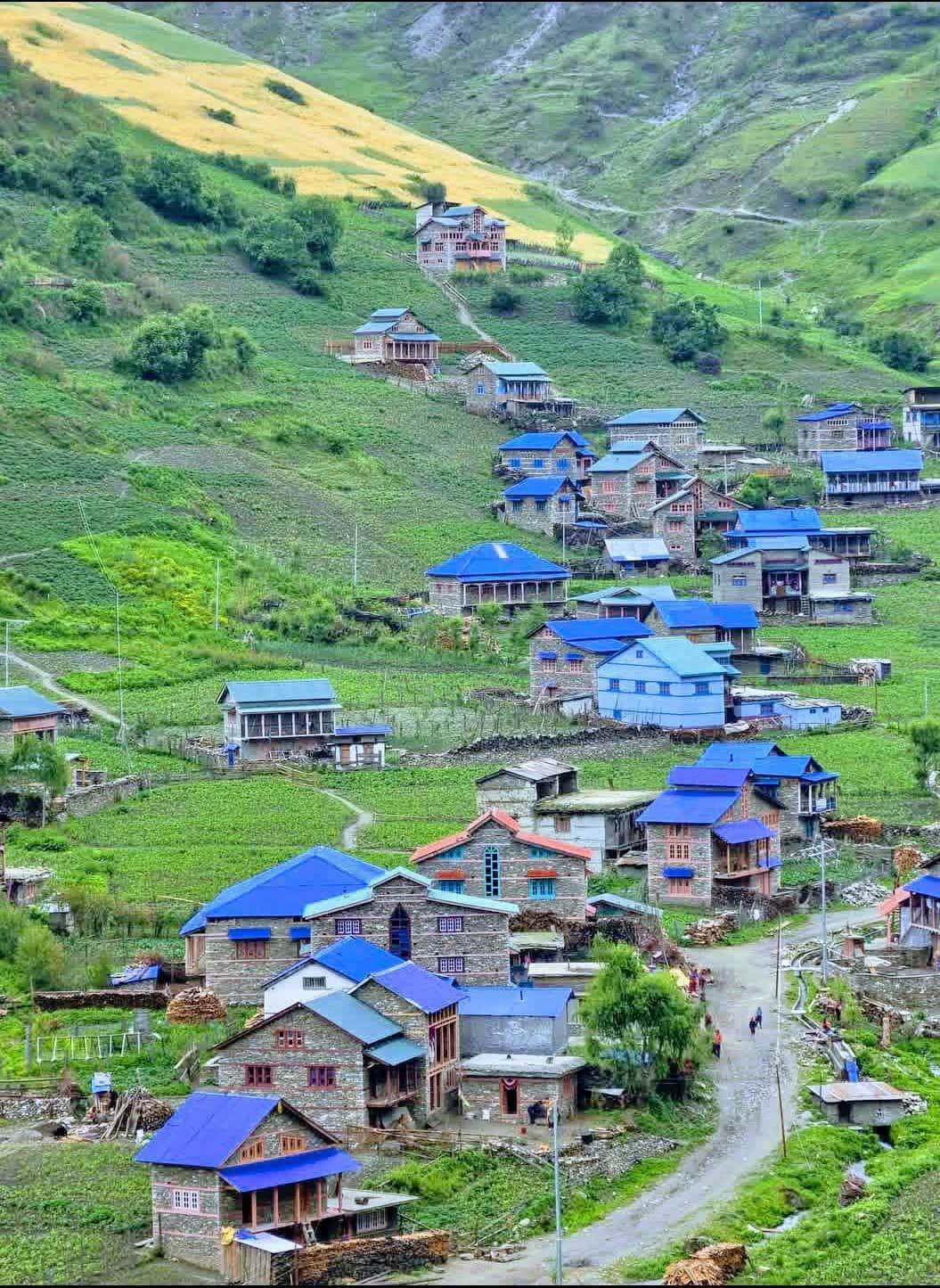
Jumla
The old Khas capital at 2,514m in Karnali — apple orchards, red Marsi rice terraces, and the road-and-air gateway to Rara Lake and Sinja Valley.
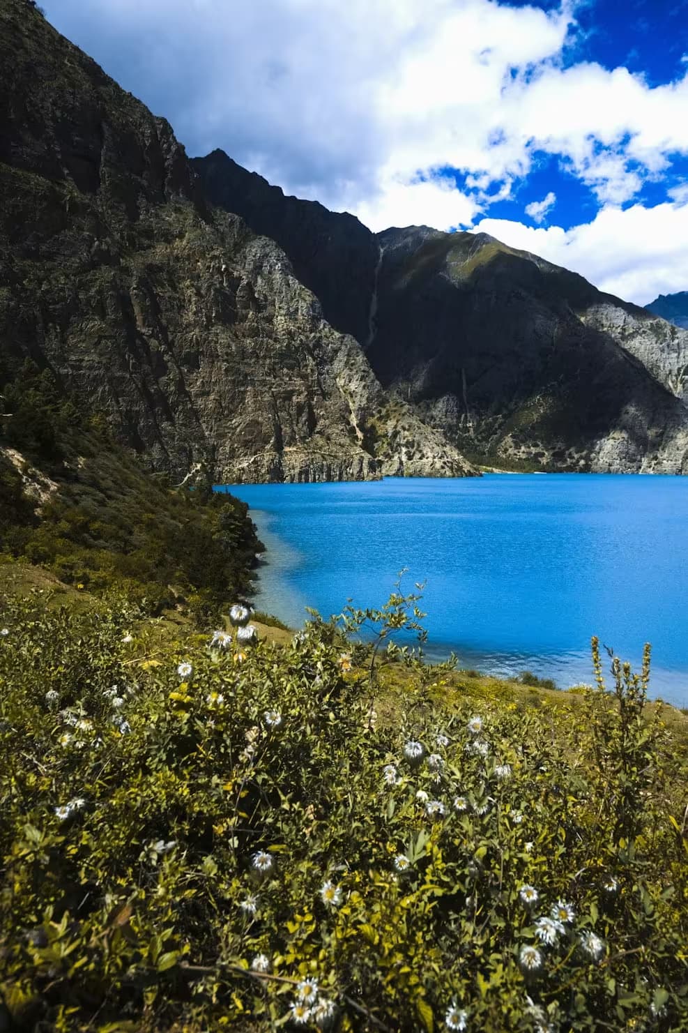
Dolpa
Nepal's deepest lake in remote Dolpa, a turquoise jewel surrounded by Himalayan peaks and ancient Bon monasteries in a pristine trans-Himalayan landscape.
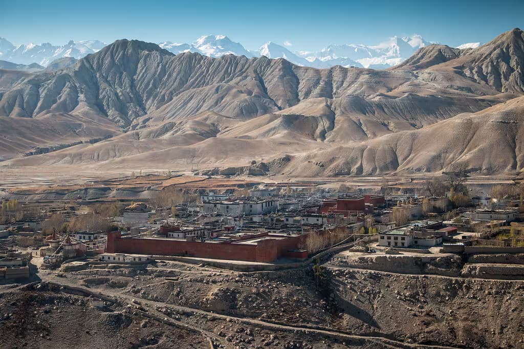
Mustang
The walled medieval capital of the former Kingdom of Lo in Upper Mustang, with a royal palace, Tibetan Buddhist monasteries, and four-storey whitewashed mud-brick houses at 3,840m.
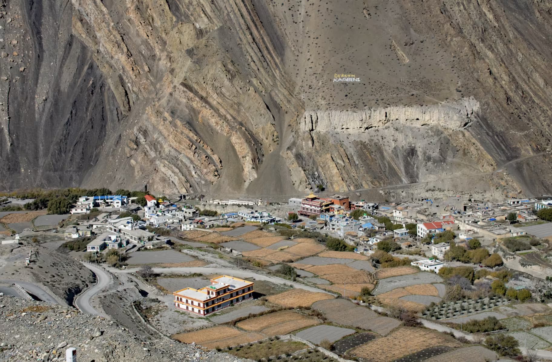
Mustang
A medieval mud-brick village at the gateway to Upper Mustang, where the Kali Gandaki and Jhong rivers meet, with the 15th-century Kag Chode Thupten Samphel Ling monastery.
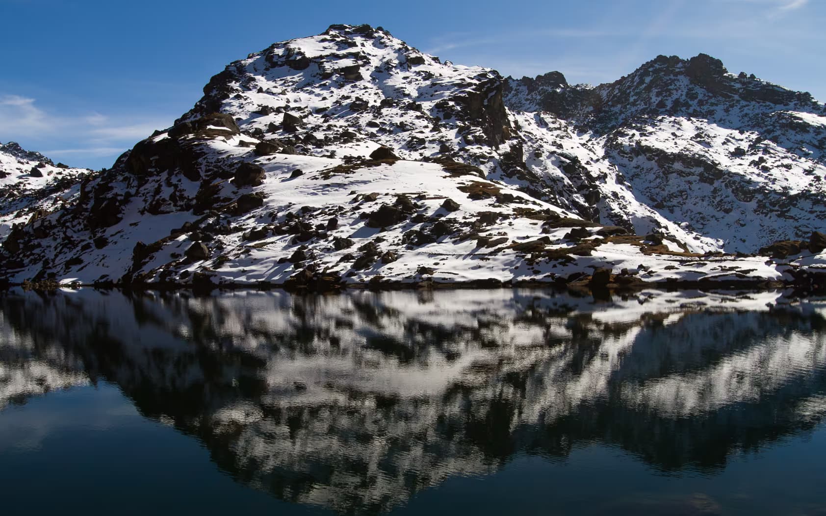
Rasuwa
Nepal's first Himalayan national park — a glaciated valley of yak pastures, rhododendron forest and Tamang villages within a day's drive of Kathmandu.
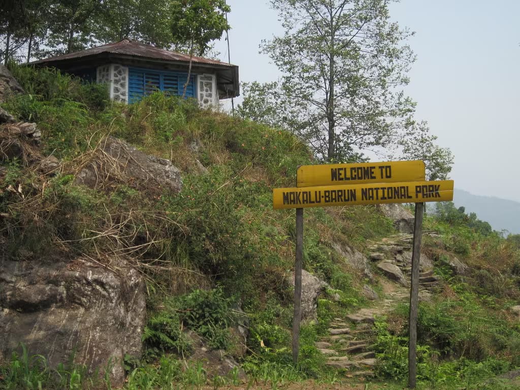
Solukhumbu
A pristine eastern wilderness beneath Mt Makalu — the only protected area on earth spanning tropical forest to 8,000m peaks, with the untouched Barun valley at its heart.
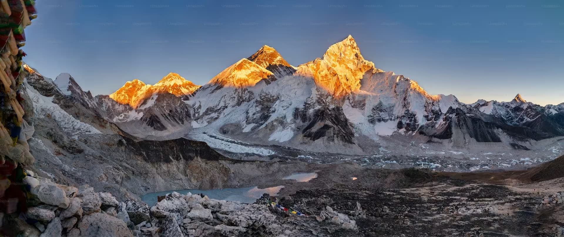
Solukhumbu
A UNESCO World Heritage Site encompassing Mount Everest and surrounding peaks, glaciers, and Sherpa villages in the Khumbu region.
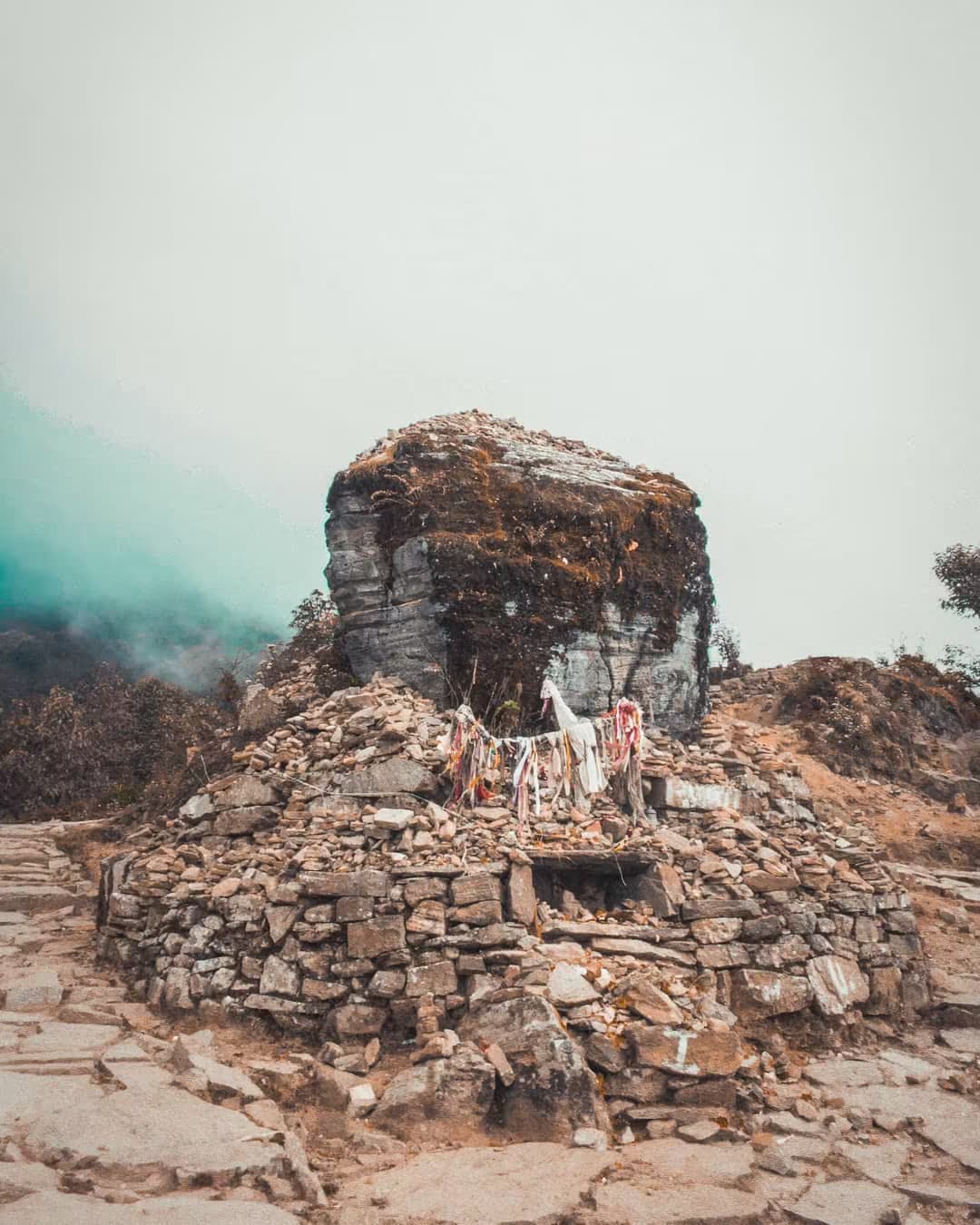
Taplejung
Eastern Nepal's mountain gateway at 1,441m — the staging town for Kanchenjunga and Pathibhara, and the heartland of Limbu (Yakthung) culture.
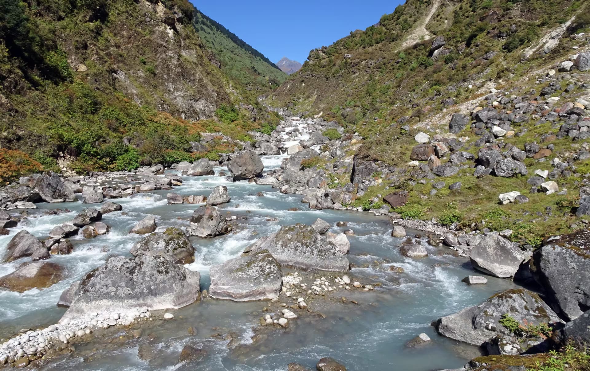
Taplejung
Nepal's far-eastern wilderness beneath the world's third-highest peak — a community-managed snow leopard and red panda landscape on the Sikkim border.
Bajhang / strenuous
30 km · 3 d · 3,050 m
Mustang / moderate
170 km · 14 d · 4,010 m
Mustang / challenging
11 km · 3,710 m
Rasuwa / moderate
70 km · 8 d · 4,610 m
Rasuwa / moderate
70 km · 8 d · 5,130 m
Taplejung / strenuous
6 km · 3,794 m
The other half of the plan
Alongside the Himalayan spine, six existing routes from the southern border to the northern passes would be widened to four-lane expressways, with over Rs 163 million in the Ministry's Red Book for study and upgrading. The report names five of the six.
Sudurpaschim
West
Lumbini to Mustang
Central
East
The report counts six funded sections but names five.
Reality check
Over Rs 41 million is allocated to determine whether the disconnected segments can be expanded and merged into a two-lane highway. The goal is to upgrade existing one-way tracks and open new ones where they do not exist.
Central sections involve days of trekking and passes above 5,400 m. Ministry spokesperson Ramhari Pokhrel is quoted on the funding; infrastructure experts quoted in the same report say completion will take years of sustained effort.
Stretches through Langtang and Makalu Barun are described as environmentally sensitive and geographically daunting — the kind of constraint a feasibility study exists to price.